St. Bathans Traverse
Distance
34 Mi.
(55 KM)Days
2
% Unpaved
100%
% Singletrack
20%
% Rideable (time)
96%
Total Ascent
5,661'
(1,725 M)High Point
6,830'
(2,082 M)Difficulty (1-10)
7?
- 10Climbing Scale Very Strenuous167 FT/MI (32 M/KM)
- 7Technical Difficulty Difficult
- 9Physical Demand Very Difficult
- 6Resupply & Logistics Moderate
Contributed By

Matt Goodall
Guest Contributor
Matt is currently local to Queenstown, on the South Island of New Zealand. If he’s not on his bike, you can probably find him on skis or in trail running shoes.
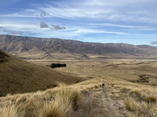
The St. Bathans Traverse begins and ends at the Homestead Campsite, a historic farming settlement in the valley floor of the Oteake Conservation Area. This entirely off-road route explores a range of Otago high country landscapes, including vast tussocks, a beautiful alpine lake, and stony mountain tops.
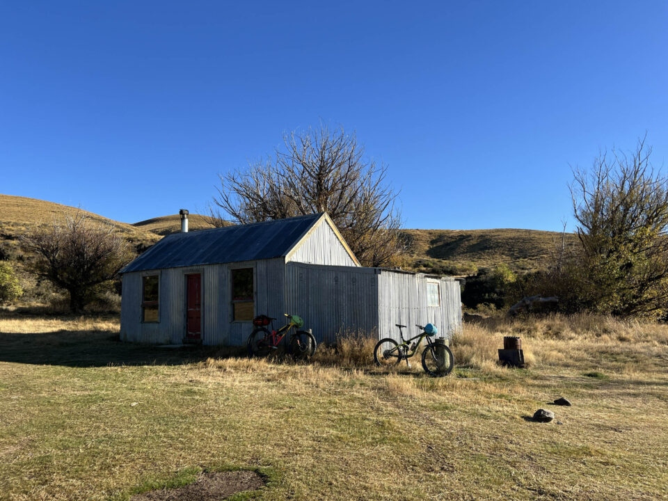
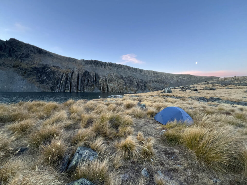
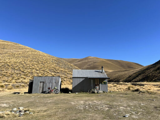
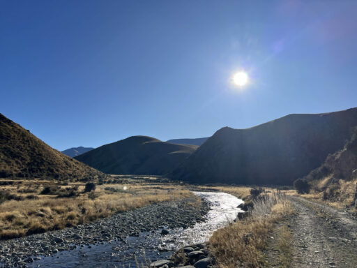
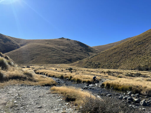
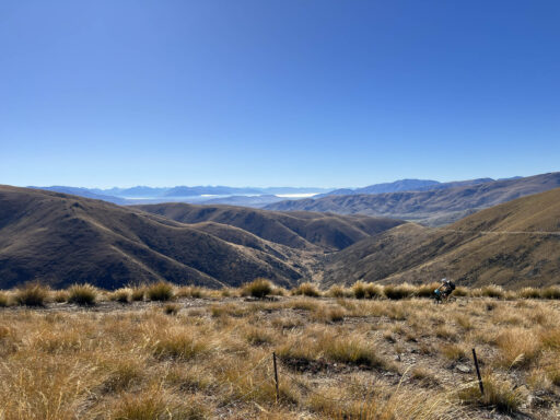
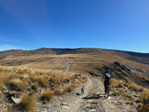
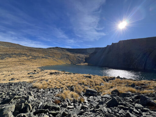
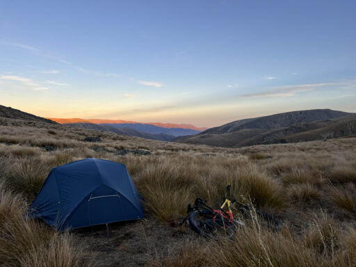
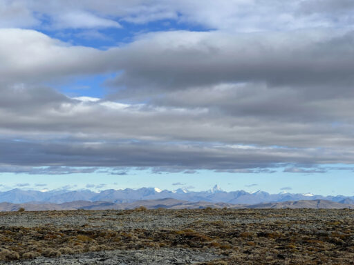
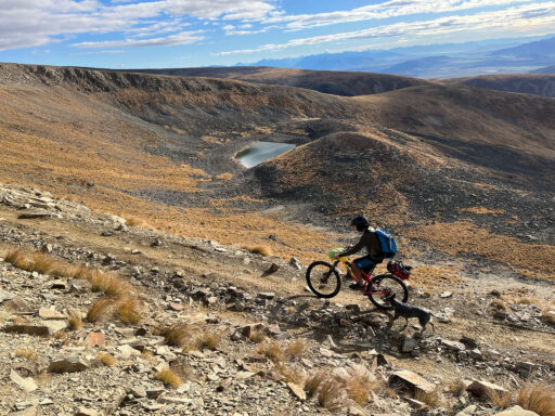
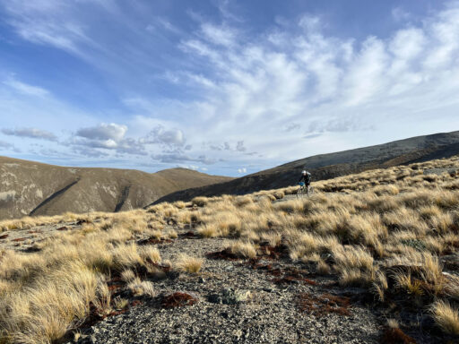
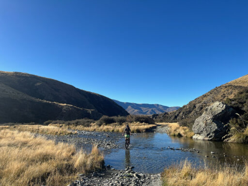
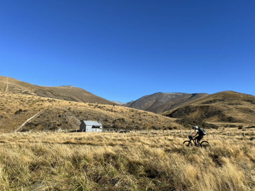
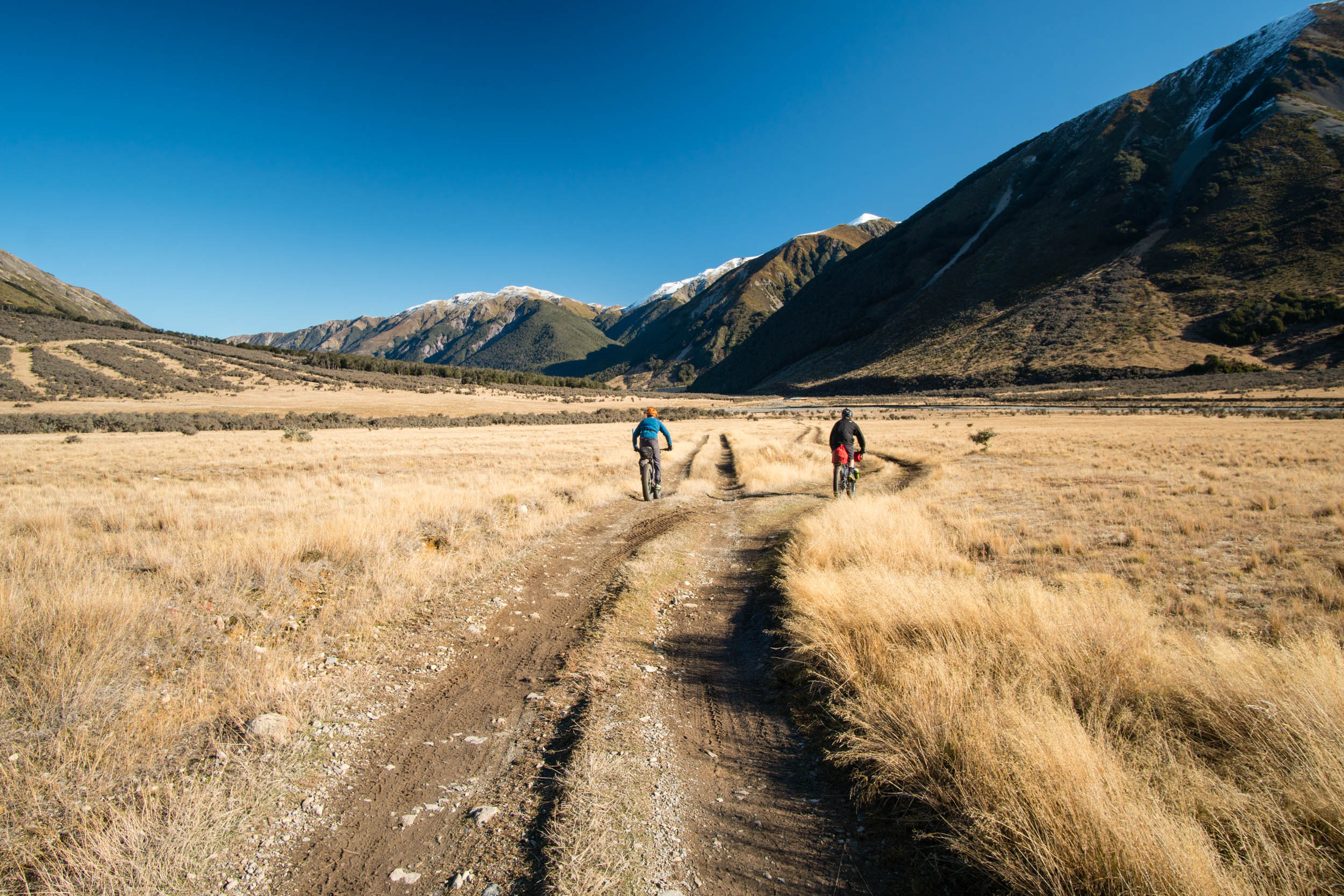
The route starts by criss-crossing the west branch of the Manuherika River, gently gaining elevation along a well-maintained 4×4 track. After reaching the picturesque Top Hut, the track steepens sharply to ascend over the Omarama Saddle, revealing postcard views of Aoraki (Mt. Cook) and the Southern Alps. After this, the route leaves the main track to climb lesser-travelled paths toward the rocky tops of the St. Bathans Range. Nestled beneath the range is the stunning Hidden Lake, a magnificent spot to camp for the night.
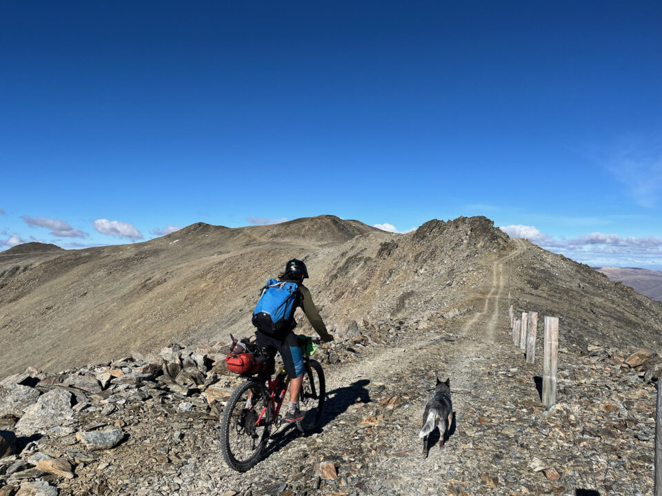
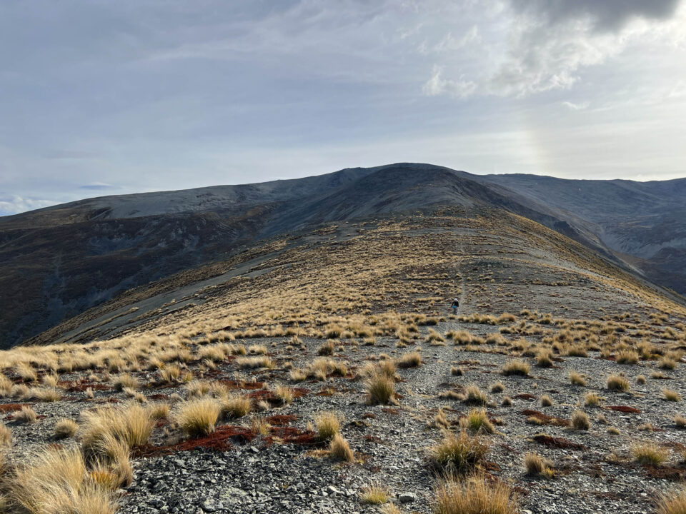
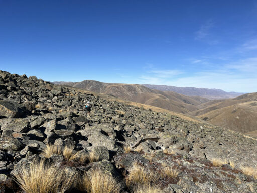
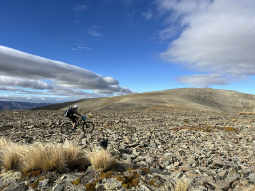
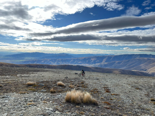
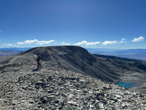
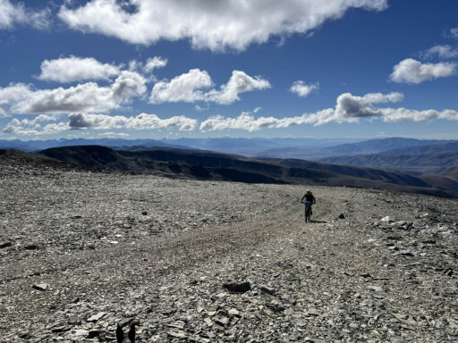
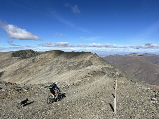
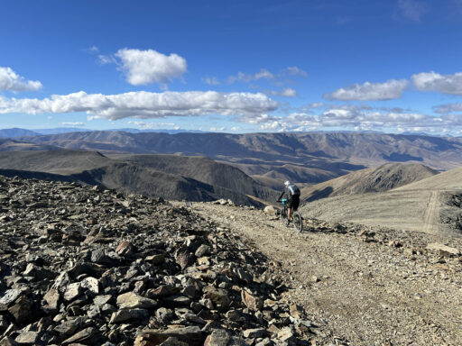
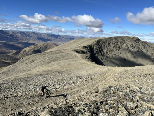
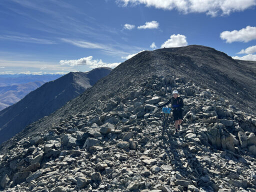
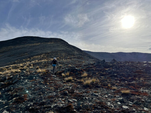
The ascent to the ridgeline is rewarded by spectacular views in all directions of iconic South Island mountains. The top of the range is covered in loose but rideable scree and consists of longer, flat sections separated by short climbs and descents. It’s time to choose your adventure after reaching the summit of Mt. St Bathans (2,088 metres), with two possible routes to finish. Option one goes off-track, with a breathtaking, scree ridgeline descent to the tussocky 4×4 trails below. It is steep and rough in places, with compulsory hike-a-bike sections. Best suited to keen mountain bikers with plenty of energy left. Option two descends another ridgeline, following a picturesque and straightforward route along a gravel track down to the valley floor. This will certainly be preferable for tired or less confident riders.
Route Difficulty
Overall, the route is rated 7 out of 10 for its overall difficulty. While the loop is relatively short, there is a significant amount of climbing. The loop travels rough and remote backcountry terrain, with no food available and no water after Hidden Lake, which accounts for most of day two. Weather conditions can change rapidly, and there is poor mobile service in the area, so it’s advised to bring a satellite emergency messenger. The second day follows tracks that are not shown on maps, and careful navigation is required, particularly if you intend to follow the off-track descent along the ridgeline.
The route is contained within public conservation land, allowing unrestricted access for cyclists and foot traffic. Note: the route passes through areas often covered in snow between June and November. It’s recommended to use NZ Topo50 maps (available on various popular GPS apps) for navigation. Although navigation along the top of the range is straightforward on day two, aerial photos might come in handy since a lot of the tracks aren’t shown on the map.
 This route is part of the Local Overnighter Project, which was created to expand our growing list of worldwide bikepacking routes—the first and largest of its kind—and create an independent map and catalog of great bikepacking overnighters, curated by you, from your own backyard. Our goal is to have accessible routes from every town and city in the world. Learn More
Submit Route Alert
As the leading creator and publisher of bikepacking routes, BIKEPACKING.com endeavors to maintain, improve, and advocate for our growing network of bikepacking routes all over the world. As such, our editorial team, route creators, and Route Stewards serve as mediators for route improvements and opportunities for connectivity, conservation, and community growth around these routes. To facilitate these efforts, we rely on our Bikepacking Collective and the greater bikepacking community to call attention to critical issues and opportunities that are discovered while riding these routes. If you have a vital issue or opportunity regarding this route that pertains to one of the subjects below, please let us know:
Highlights
Must Know
Camping
Food/H2O
Trail Notes
- Vast valleys and plateaus – classic Central Otago tussock terrain.
- Omarama Saddle – amazing views of the lakes beneath Aoraki (Mt. Cook).
- Camping at Hidden Lake – swim in the stunning water before watching the stars for the night.
- Traversing barren, stony scree ridges.
- Big mountain views of the Southern Alps.
- Loose, off-track ridgeline descent back to the valley floor.
- The Vulcan Hotel – in the historic gold mining town of St. Bathans, home to a fabled ghost and a great spot for a post-ride meal.
- The route is typically okay to ride from late October/early November through June. Late November to late May would be the safest bet to avoid snow.
- NZ Topo50 is the most accurate map to navigate with. This is available on popular GPS apps such as Gaia, or they can be purchased from outdoor stores.
- The day two route along the top of the range follows a track that’s not shown on any maps. I recommend studying/saving the route before starting.
- Upper elevations of the route are susceptible to snowfall, often as early as June and late as October. The Alexandra Department of Conservation office will be a good place to ask about current snow conditions.
- The route is in remote backcountry terrain. There are no shops or facilities along the way, mobile coverage is patchy, and weather conditions can change quickly.
- The start and finish location at Homestead Campsite is best accessed by car or bike. Most vehicles should be able to handle the gravel road in normal conditions.
- The Department of Conservation web page for the areais a useful source of information to read.
- Camping is allowed for free at Homestead Campsite, where the route starts and finishes. It is an unmanned, unpowered campsite, with no facilities aside from toilets and water.
- Backcountry camping at Hidden Lake is marked on the map.
- Fresh water is available at the start/finish area, Homestead Bay Campsite. The official Department of Conservation recommendation is to boil water before drinking.
- Fresh water is available at Hidden Lake, the suggested campsite location.
- There is no water available above Hidden Lake, which is most of day two. It can get very hot along the top of the range, so come prepared with enough water carrying capacity.
Day One
Starting at an elevation of 700 metres, the route follows a 4WD track, criss-crossing the west branch of the Manuherika River to reach the picturesque Top Hut (1,000 metres). From here, the track steepens, ascending over the Omarama Saddle (1,273 metres) to reveal postcard views of Aoraki Mount Cook and the Southern Alps. After crossing the saddle, the route leaves the main 4WD track to follow a lesser-travelled path (still shown on NZ topo maps) toward the top of the St. Bathans Range. Nestled beneath the range at 1,550 metres is a stunning alpine lake, which makes for a magnificent campsite. The lake is accessible via a 15-minute walk from the track. To avoid a hike-a-bike over large boulders, it is recommended to stash bikes in the tussock before walking the final 10 minutes to the lake.
Day Two
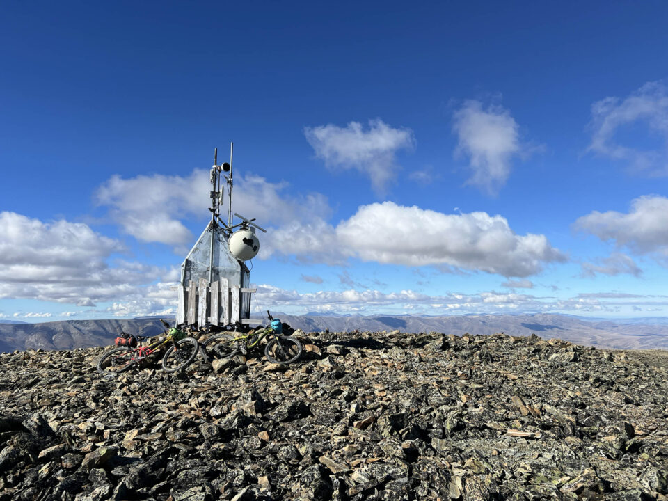
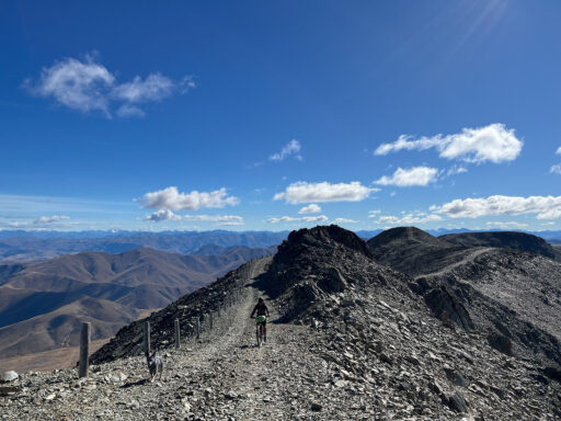
From the bikes, the route continues along the 4WD track, climbing toward the top of the St. Bathans Range. After around two kilometres, follow an obvious (but unmapped) 4WD track that forks left off the main mapped path. This track traverses along the tops of the range and is obvious to follow all the way to the summit. The views while riding along the top of the range are spectacular in all directions. Keep an eye out for the prominent peaks of Aoraki Mt Cook (to the northeast), Tititea Mount Aspiring (to the west), and the Remarkables (to the southwest). The tops are covered in loose but rideable scree and consist of longer, flat sections separated by short pinch climbs. After reaching the summit of Mt. St Bathans (2,088 metres), there are two possible routes back to the start:
- The first option (as shown on the RideWithGPS link) is well suited for keen mountain bikers with some energy left in their legs. From the summit, the route continues south along the range and is completely off-track for around five kilometres. The surface is loose scree, which is mostly fine-grained and rideable for confident riders. There are some short downhill sections where it will be necessary to hike-a-bike over large boulders. Around two kilometres south of the summit, turn left to follow the ridgeline heading east (directly north of Rocks Creek on the NZ Topo50 map). After a short hike-a-bike over a rise in the ridge, enjoy a spectacular scree descent from the high alpine into the beautiful tussocks below. From here, it is a lightning-fast descent to the finish along an old 4WD track.
- The second option will be preferable to less confident mountain bikers or those with tired legs. This route follows a spectacular but straightforward track along the ridge to the direct east of Mt. St Bathans. After descending via the track all the way to Boundary Creek Hut, continue south to finish the adventure at Homestead Campsite.
Terms of Use: As with each bikepacking route guide published on BIKEPACKING.com, should you choose to cycle this route, do so at your own risk. Prior to setting out check current local weather, conditions, and land/road closures. While riding, obey all public and private land use restrictions and rules, carry proper safety and navigational equipment, and of course, follow the #leavenotrace guidelines. The information found herein is simply a planning resource to be used as a point of inspiration in conjunction with your own due-diligence. In spite of the fact that this route, associated GPS track (GPX and maps), and all route guidelines were prepared under diligent research by the specified contributor and/or contributors, the accuracy of such and judgement of the author is not guaranteed. BIKEPACKING.com LLC, its partners, associates, and contributors are in no way liable for personal injury, damage to personal property, or any other such situation that might happen to individual riders cycling or following this route.
Further Riding and Reading
Here are some connected/nearby routes and related reports...
Please keep the conversation civil, constructive, and inclusive, or your comment will be removed.


