MinneIoWisco
Distance
273 Mi.
(439 KM)Days
5
% Unpaved
66%
% Singletrack
1%
% Rideable (time)
100%
Total Ascent
12,666'
(3,861 M)High Point
1,363'
(415 M)Difficulty (1-10)
3?
- 3Climbing Scale Fair46 FT/MI (9 M/KM)
- 2Technical Difficulty Easy
- 3Physical Demand Fair
- 2Resupply & Logistics Easy
Contributed By

Scott Haraldson
Guest Contributor
During his time at university in Winona, MN, Scott discovered his love for the Driftless, and as a lifelong cyclist, it was a natural fit to combine his passion for camping and photography to tell stories of his biking adventures. For the past 15 years, Scott has worked in the customer service department at Quality Bicycle Products. You might have even had your portrait taken by him if you have ever “chased the chaise.”
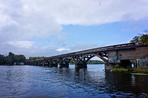
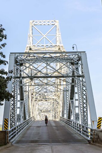
April 2024: The “old” Lansing Bridge crossing the Mississippi River is currently closed. Scroll down to the discussion area for Eric Weninger’s workaround.
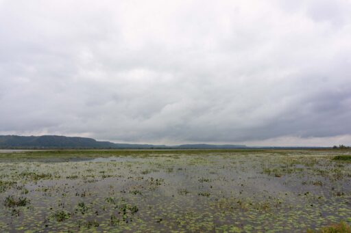
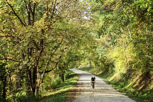
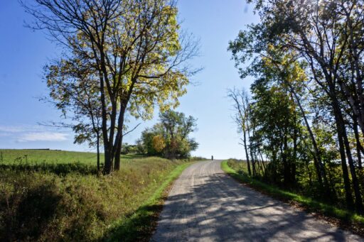
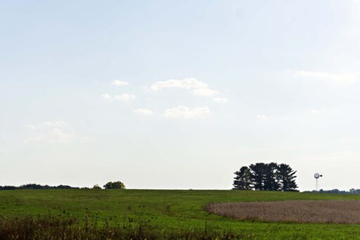
Named for the fact that the route navigates parts of Minnesota, Iowa, and Wisconsin, the 273-mile MinneIoWisco falls entirely within the beautiful Driftless Area. While no formal boundaries define the region, it encompasses much of western Wisconsin as well as the corners of southeastern Minnesota and northeastern Iowa. Described as the land of many hills, Driftless represents why this landscape looks so different from the rest of the Upper Midwest. In short, the land was spared from the flattening effect of the most recent passage of drifting glaciers. As a result, it has an unmistakable character and unique topography that creates opportunities for winding roads to lead you up hundreds of feet to the top of bluffs before sending you swooping and racing back down into the valleys and rivers below.
I fell in love with the Driftless Area while attending school in Winona, Minnesota, in the late 1990s. It was there I cemented my love affair with bicycles by riding off-road and doing sub-24-hour camping trips into the bluffs that line the Mississippi River. I expanded my knowledge of the region by taking my camera on day trips across the border into Wisconsin, visiting quaint river towns like Trempealeau and beyond.
Some time ago, I tackled the Wisconsin Adventure Bicycle Route, a 700-mile bikepacking route that begins on the Illinois/Wisconsin border and traverses the entire state of Wisconsin to Lake Superior, while riding the southern part of the route, I once again was reminded how much fun the Driftless Area can be. Upon completing that trip, I began laying the groundwork for a new route that attempted to highlight as much of the best gravel and scenery the area has to offer.
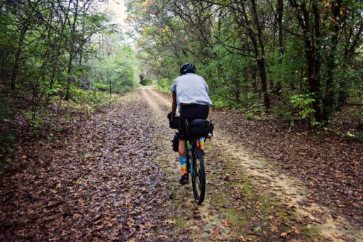
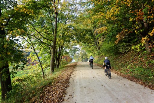
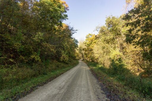
With my own connection to Winona, it seemed a natural starting point, though you could start anywhere along the route. It was an easy decision to head into Wisconsin and follow along the Mississippi River before venturing further east and picking up the Elroy-Sparta State Trail. This limestone trail highlights three tunnels, the longest being over a three-quarters of a mile long. Upon reaching Hillsboro, you exit the former railbeds and pick up gravel roads as you work your way into the Kickapoo Valley region, an 8,500-acre tract of land split by the Kickapoo River. By the fourth day, you’ll make your one-day visit to Iowa, a state that’s often overlooked but is known for some iconic gravel races, and you’ll be on gravel nearly the entire time. Some of the best climbs on the route take place in the final days as you ride up and down the bluffs on the Minnesota side of the river. Before long, the extended gravel sections begin to turn to pavement as you make your way back to Winona.
Taking into consideration our fitness level and allowing time to enjoy both morning and evenings, we settled on five days of riding. See the ride notes section for details on distance and elevation gain.
Route Difficulty
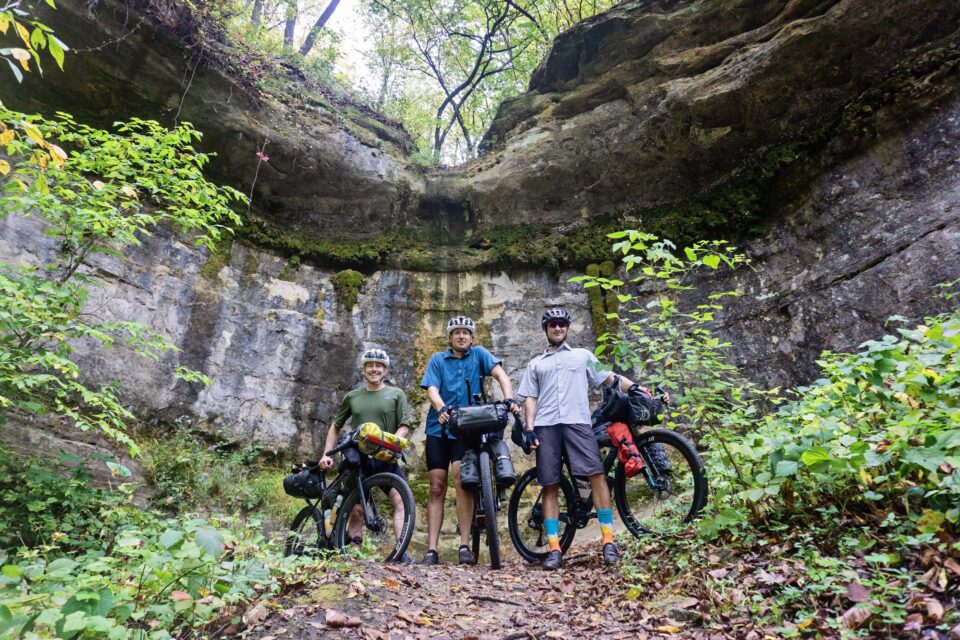
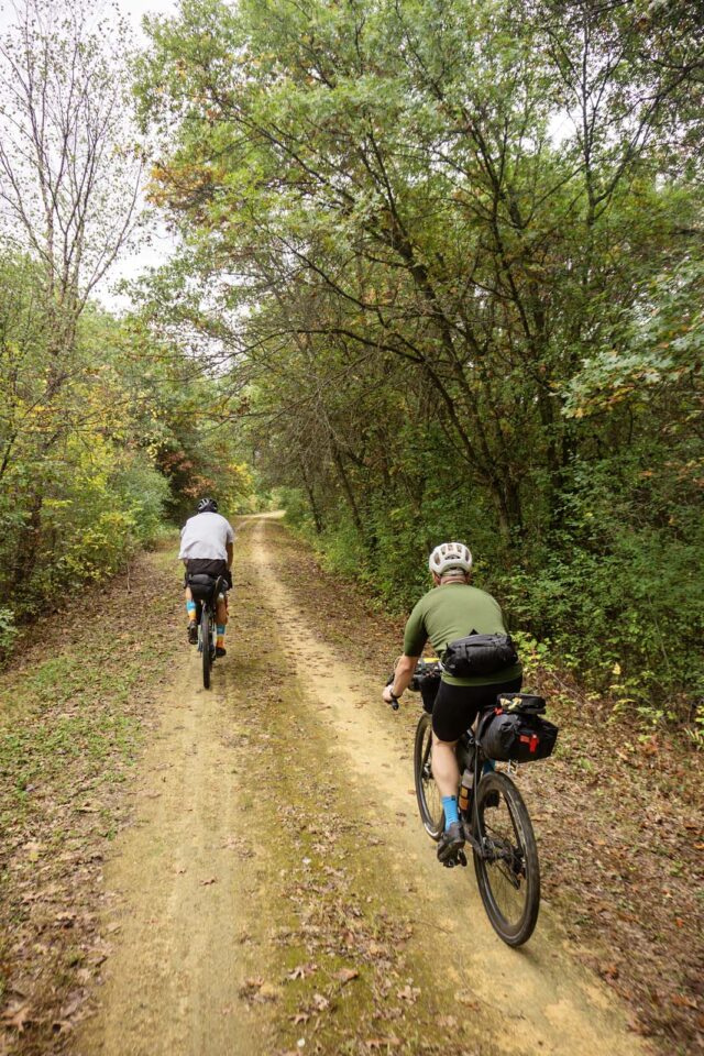
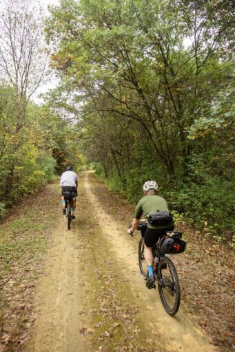
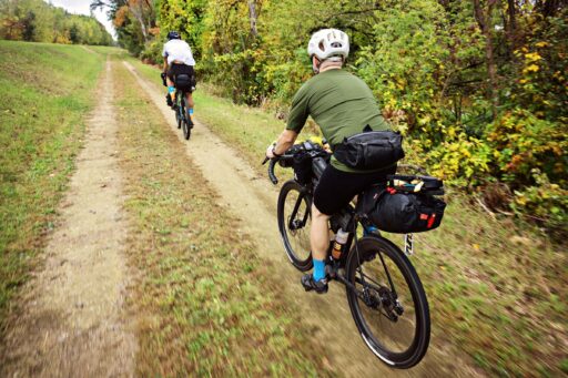
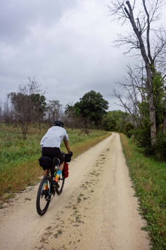
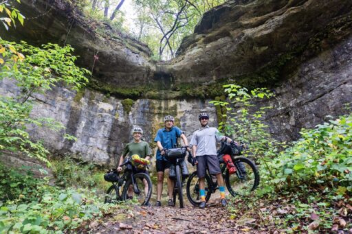
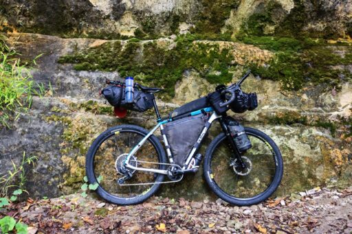
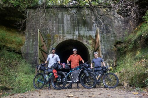
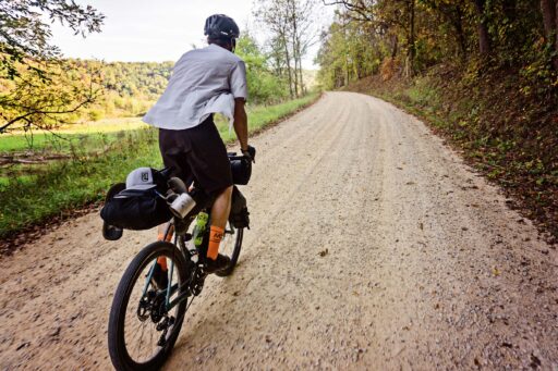
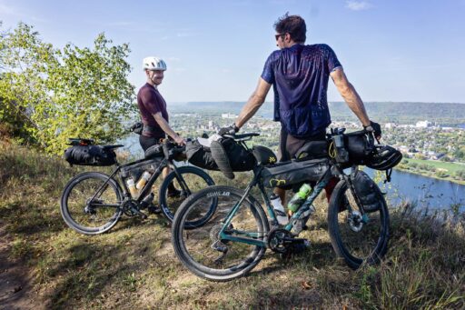
The first portion of the route has sections of relatively flat rails to trails with a crushed limestone trail or two-track. The ever-so-gradual grade can be deceivingly tiring, but it’s by no means overly taxing. The latter half of the route turns more hilly as it navigates down into the Mississippi River Valley. There are decent sustained climbs, but all are manageable, even under load. The route includes easy logistics for camping, water, and food re-supply, though take note of certain sections where water may be more sparse or need to be filtered. All of the route is passable by gravel touring bikes (we recommend 35mm tires at a minimum). Our group opted for tire widths of 650B x 38mm (Salsa Warroad), 700C x 50mm (Canyon Grizl) and 29 x 2.25″ (Salsa Cutthroat).
Physical Demand (3/10) will depend on the rider. The earlier parts of the route (2/10) are very flat. The second half of the course is more hilly with a handful of extended climbs (4/10). The Technical Difficulty was assigned 2/10 based on the fact that the route is comprised of mostly smooth or graded gravel with the occasional loose section. Additional singletrack options are marked and can be avoided all together. With proper planning, Logistics and Resupply (2/10) is pretty straightforward as there are plenty of options for resupply at the numerous convenience stores that dot the route. At times, you may be in between potable water sources, so it is advised to bring a filtration system.
Submit Route Alert
As the leading creator and publisher of bikepacking routes, BIKEPACKING.com endeavors to maintain, improve, and advocate for our growing network of bikepacking routes all over the world. As such, our editorial team, route creators, and Route Stewards serve as mediators for route improvements and opportunities for connectivity, conservation, and community growth around these routes. To facilitate these efforts, we rely on our Bikepacking Collective and the greater bikepacking community to call attention to critical issues and opportunities that are discovered while riding these routes. If you have a vital issue or opportunity regarding this route that pertains to one of the subjects below, please let us know:
Highlights
Must Know
Camping
Food/H2O
Trail Notes
- Downtown Trempealeau: Following a fire that destroyed all but five downtown businesses in 1888, legend has it “a team of 100 horses” moved the remaining buildings to their current location on Main Street. This downtown area, with the Mississippi River at its base, is representative of all the towns that flourished along the river freight route. Today, the entire two blocks of downtown are listed on the National Register of Historic Places including the historic Trempealeau Hotel. Make it a quick stop by grabbing a cup of coffee and a breakfast sandwich at The Station.
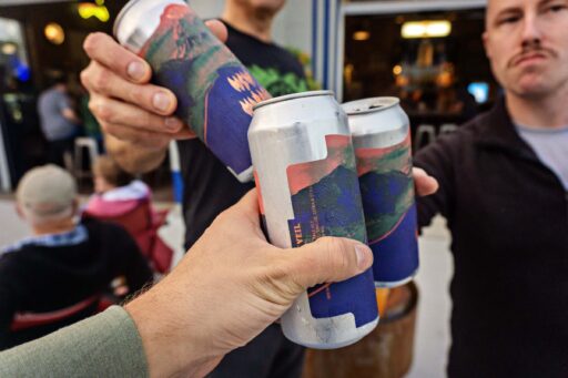
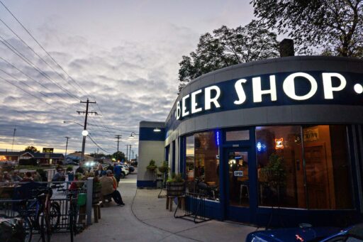
- Beer Shop Sparta is an oasis in the town of Sparta. This 1930s converted gas station and auto garage has been lovingly transformed into a place for the community to gather. With 22 beers on tap and dozens more available in cans, it’s the perfect place to stop for beers, ciders, sodas and more, all produced in the Midwest.
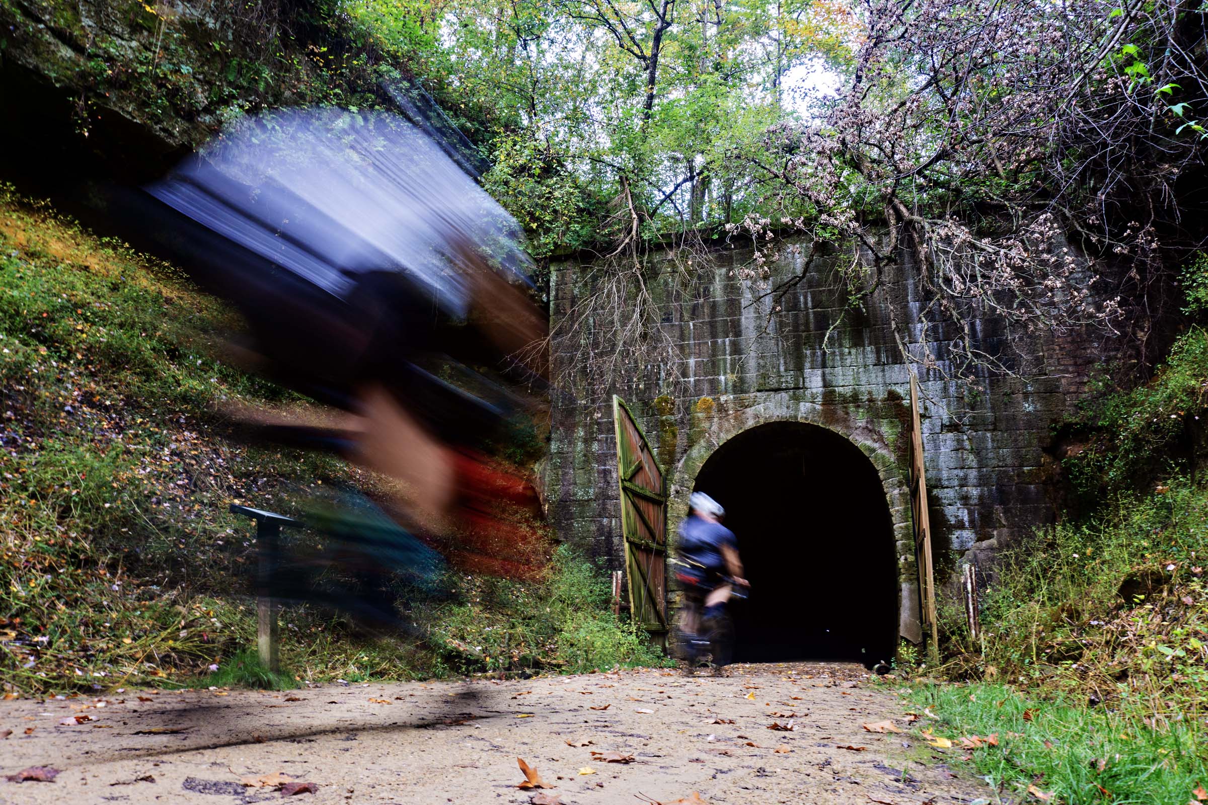
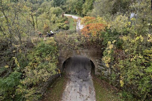
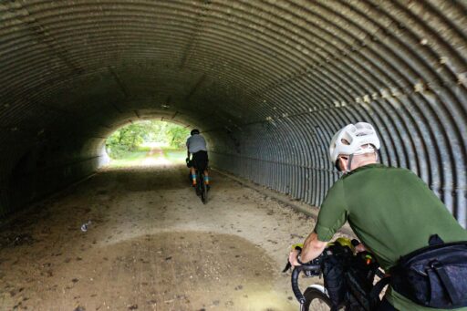
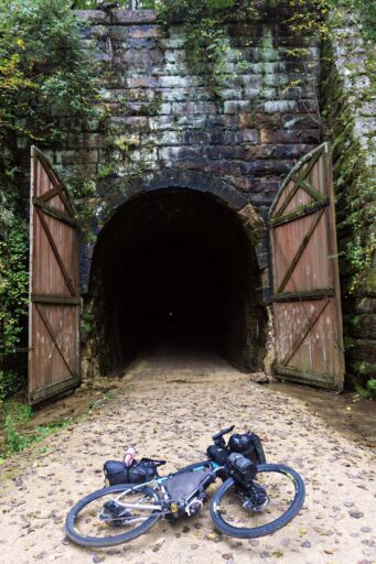
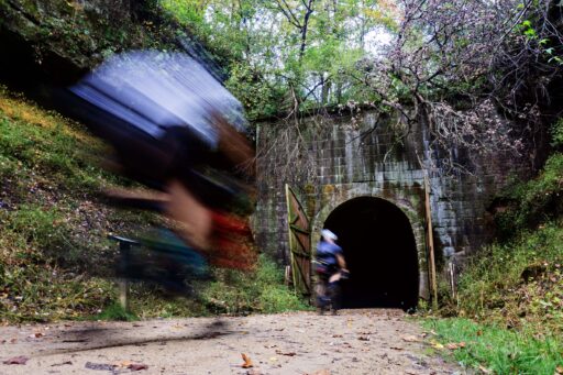
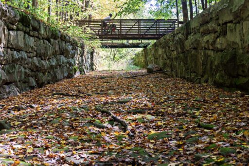
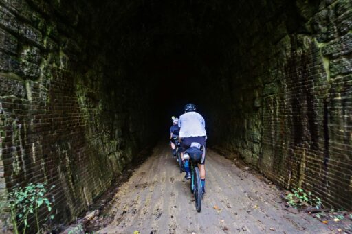
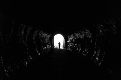
- The Elroy-Sparta State Trail remains one of the most popular trails in the country with three rock tunnels. When approaching the first tunnel (Tunnel #3) you’ll feel the temperature start to drop and you’ll then see the large doors that guard the tunnel itself. Built in 1873, the tunnel stretches nearly three-quarters of a mile in length. When you enter, the exit is just a dot of light in the distance. Turn on your headlight as it quickly becomes very dark, and there’s a constant sound of water falling from the ceiling and pooling in the two channels on either side of the pathway. After exiting the tunnel, stop to see the stone flume, designed to catch rain runoff from the steep valley walls and channel it away from the tunnel’s entrance.
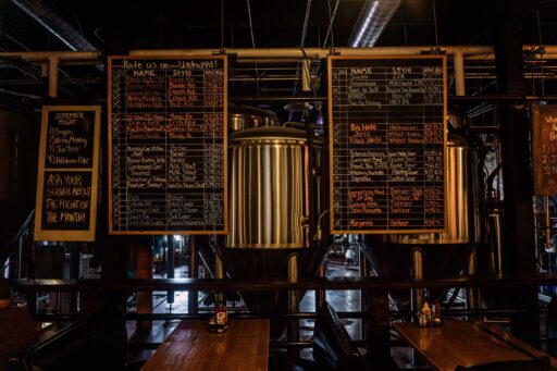
- Hillsboro Brewing is located in a massive 28,000-square-foot historic building is a 109-year-old former factory that for many years was used to produce condensed milk. With a solid lineup of over 40 craft brews, appetizers, specialty burgers, and pizzas it makes a great place to relax.
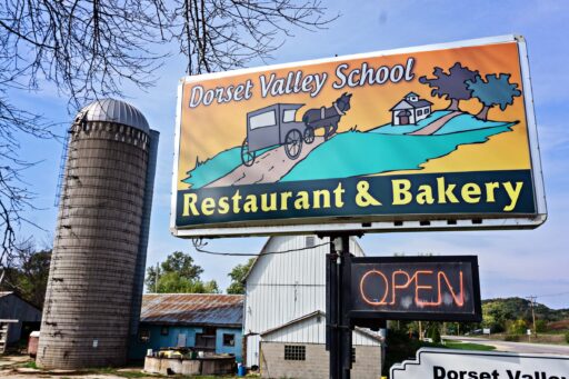
- The Dorset Valley Schoolhouse restaurant resides in the former Dorset School established in 1868 and maintained classes until 1963. The menu includes fresh fruits and vegetables sourced from the local area as often as possible. They also raise their own beef for their hamburgers.
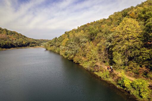
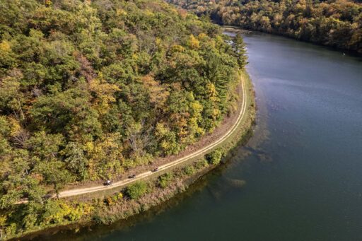
- Sidie Hollow is a beautiful park spread out over 521 acres in Vernon County. It has 76 campsites, potable water, and the jewel is a 38-acre lake that the route takes riders right alongside. For the truly adventurous, there are ample amounts of mountain bike trail that can be added into the route.
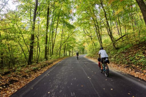
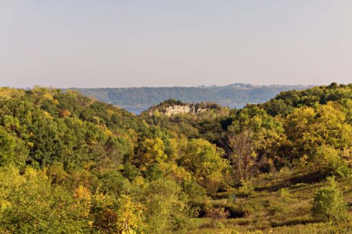
- Minnesota bluff country is unique in its combination of hardwood forests, farmland, streams, apple orchards, and underground caves. Plus, there are flocks of wild turkeys, bald eagles, and whitetail deer. A couple of miles of climbing take you to the top of bluffs before sending you back to the river valley below.
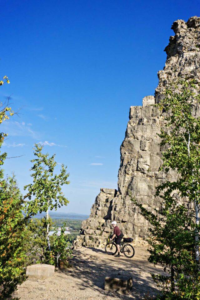
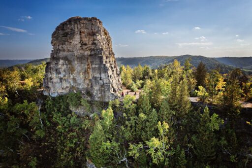
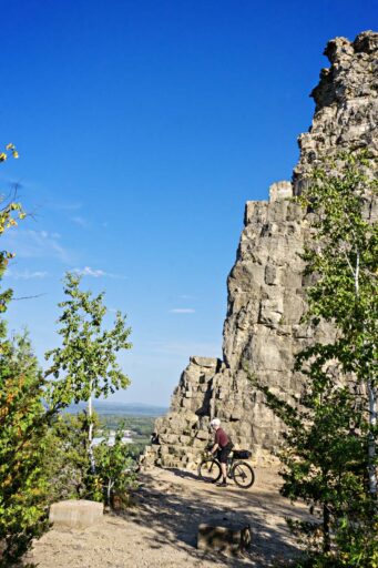
- Sugar Loaf is a bluff on the Mississippi River topped by an 85-foot-tall rock pinnacle overlooking the city of Winona. The name Sugar Loaf is based on its resemblance to a loaf of sugar that one could buy at the local general store. It was created from quarrying the bluff’s limestone cap layer through most of the 1880s, and the stone was used for Winona’s sidewalks and buildings. To reach the top, it’s a short but strenuous 20-minute hike and offers great views of the river valley.
- Best time to go: Early-to-mid October when the fall colors are in full effect and insects are at a minimum. We rode in late September into October, and while the color wasn’t at its peak, we had unusually warm weather in the 80s. During the summer months, ticks, flies, and mosquitoes are in abundance, so bring your spray and netting.
- A state trail pass is required for all people age 16 or older biking on the Great River State Trail, Elroy-Sparta, and the 400 State Trail. Passes can be purchased at self-registrations kiosks or from numerous participating local businesses along the trail.
- It is recommended to ride this route clockwise, but you can start in many places along the route. We opted to start in Winona but needed to find parking in advance as the city does not offer any overnight parking lots, and parking ordinances are enforced for street parking.
- Find a suggested itinerary for highlights, lodging, and food stop suggestions under the Trail Notes tab.
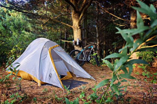
- Motel or Camp? While we opted to camp all but one night (Lansing), with enough advanced planning, you could arrange motels and Airbnbs for each night of the route.
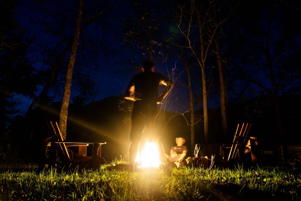
- Sparta DNR Campground is available mid-May through the end of October. All sites are reservation only. The campground offers sites with a fire ring and picnic table. Water faucet and pit toilets are available.
- Kickapoo Valley Reserve has primitive camping available at 26 sites in the area. Locations fill up quickly and can be reserved online in advance. All campers are required to register and obtain camping permits prior to setting up camp. We recommend a location closer to Rockton Bar for water and food availability.
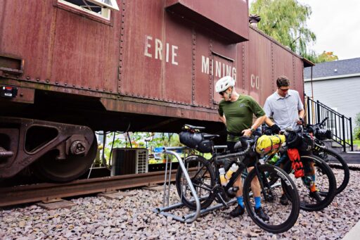
- Coulee Junction Caboose available via Airbnb is a 1954 Red Railroad Caboose located on the route 10 miles from Lansing. It features a conversation area, kitchen, bath, and gas fireplace. A double-size futon and set of bunk beds provide sleeping for up to four people. Relax on the outside deck or in the hot tub while surrounded by nature at its best. We didn’t book in advance, so we missed out on what looks like an awesome option.
- Red Barn Campground in Lansing offers a modern camping experience complete with shower house and laundry facilities. The campground also has a restaurant in a refurbished barn.
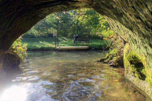
- Shady Rest Acres is a private campground that sits on the site of the historic V.J. Fetzner Brewery. Remnants of the brewery are still visible. Foundation walls outline the massive structure of the brewery, and nestled in the center of the foundation is the entrance to a 67-foot-deep cave that once held barrels of beer and can be accessed by flat-bottom boat. Two tent sites and a cabin that sleeps four are available.
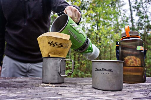
- I typically carry a couple of dehydrated meals, instant oatmeal, and coffee with me, but there are enough restaurants, convenience stores, and small grocery stores along the route that you wouldn’t need to pack any food. Of course, packing food would avoid the additional late night trips into town. For our five-day trip, I packed four breakfasts, a handful of energy bars/gels, and plenty of coffee.
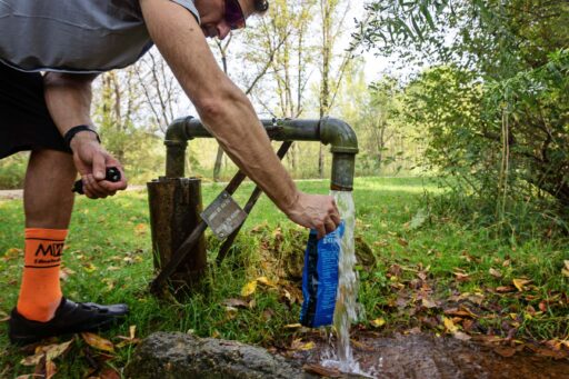
- There is water to be had, but always be filling up bottles. My recommendation is three bottles or two bottles and an additional small bladder for times when you know you’ll be without resupply, especially if you’re using water for cooking/breakfast. A water filter may not be necessary, but it is nice to know it’s there just in case.
- The Depot in Trempealeau makes for a great first stop on the route. Take a moment to make sure all your gear is packed while you have a coffee and eat a breakfast sandwich.
- Taco Paisa is a hidden gem of a Mexican restaurant in Sparta. Made-to-order tacos, quesadillas, and burritos can be picked up to eat back at camp or washed down with a cold beverage at the Beer Shop a block down the street.
- Coffee on the River is located right on the Mississippi River in Lansing. Situated in a converted 1868 grain elevator, this coffee shop boasts great views from their multi-tiered deck. Grab a cup of coffee and a breakfast sandwich.
- Saxon Hall is a pizza pub located in Brownsville, Minnesota, in a 150-year-old renovated stone building. The food is good, the beer selection is quite deep, and the waitstaff was the highlight of our stop there.
- Viroqua, Wisconsin, is home to the Driftless Cafe. With more than 200 certified organic farms in Vernon County alone, the Driftless Cafe utilizes the vast bounty and passion of the local farming community to allow their chefs to emphasize a seasonal focus and freshness in their ever-changing menu.
- Island City Brewing is a great way to celebrate the end of the trip. Located in downtown Winona, Minnesota, they offer a variety of beverages and bar-style pizza.
location Winona to Sparta
Day 1 (61 mi +1,200 ft)
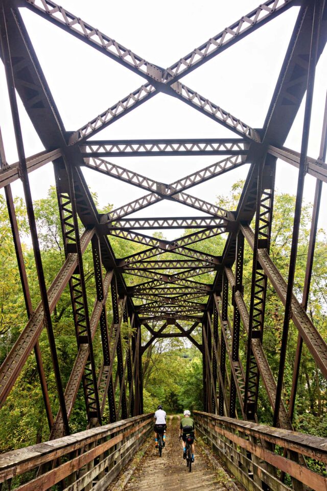
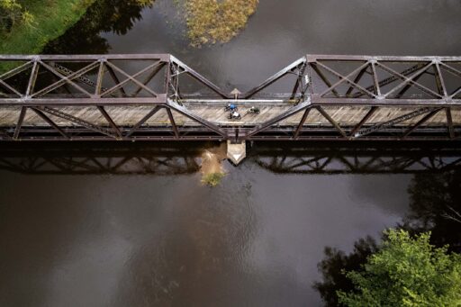
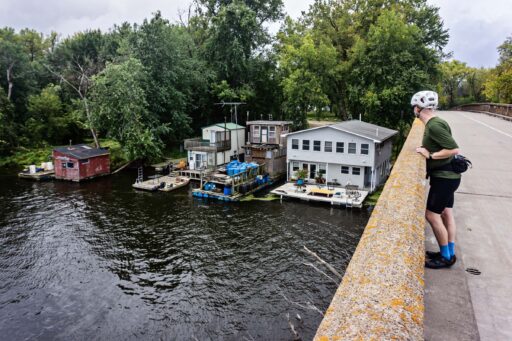
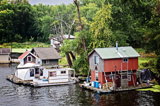
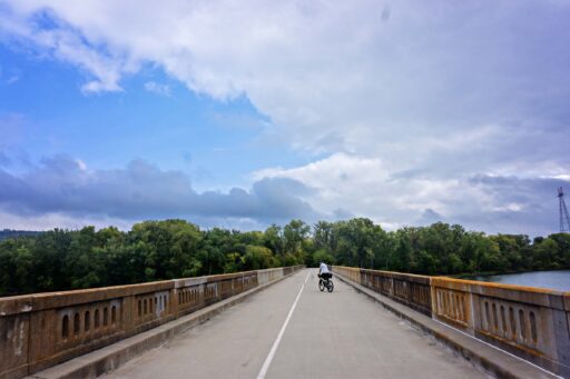
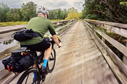
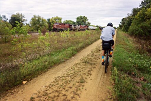
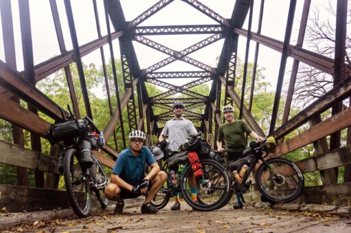
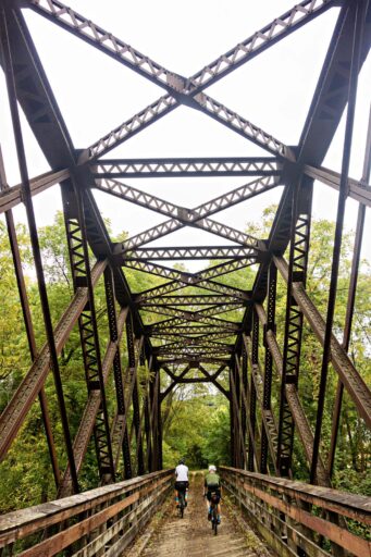
We started in Winona, but overnight parking can be challenging as the city enforces on-street parking. With no long-term lots, we contacted a local business owner, who offered to let us park in their lot. Grabbing coffee and a breakfast sandwich at a Kwik Trip (a staple of convenience along this route), we made our way to the river. Crossing on the protected lane of the highway bridge exit onto Latch Island, you’ll eventually cross the old wagon bridge. Make sure to stop and view the numerous floating houses that line the island. The day will be relatively flat but offers views of the Mississippi River and a couple of trestle bridge crossings. Grab lunch in Trempealeau or continue further to Midway Deli. Sites can be reserved for the Sparta DNR campground, and we recommend dinner from Taco Paisa with drinks at The Beer Store.
location Sparta to Rockton
Day 2 (64 mi +2,400 ft)
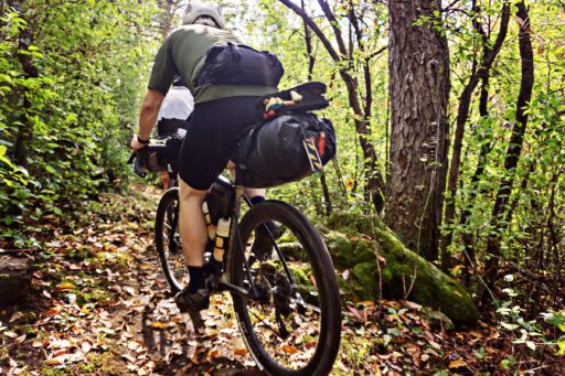
If you are like us, a late night in Sparta might leave you groggy in the morning, but day two starts with plenty of rail to trails to ease into the day. The gentle 1% grades make for a mind game as you don’t see the elevation adding up, yet you’ll feel it in your legs. The three tunnels on the Elroy-Sparta Trail are the highlight of the day; getting pitch black, you’ll want to have at least a small flashlight to guide your way. Grab lunch at the Dorset Valley Schoolhouse Restaurant, just a short detour from the trail. A late-day snack of pretzels and beer was a hit at Hillsboro Brewing. Finish the day by having dinner at Rockton Bar. Make sure to book a camping spot in advance at one of the numerous KVR campsites, as they are popular on the weekends.
location Rockton to Lansing
Day 3 (59 mi +3,760 ft)
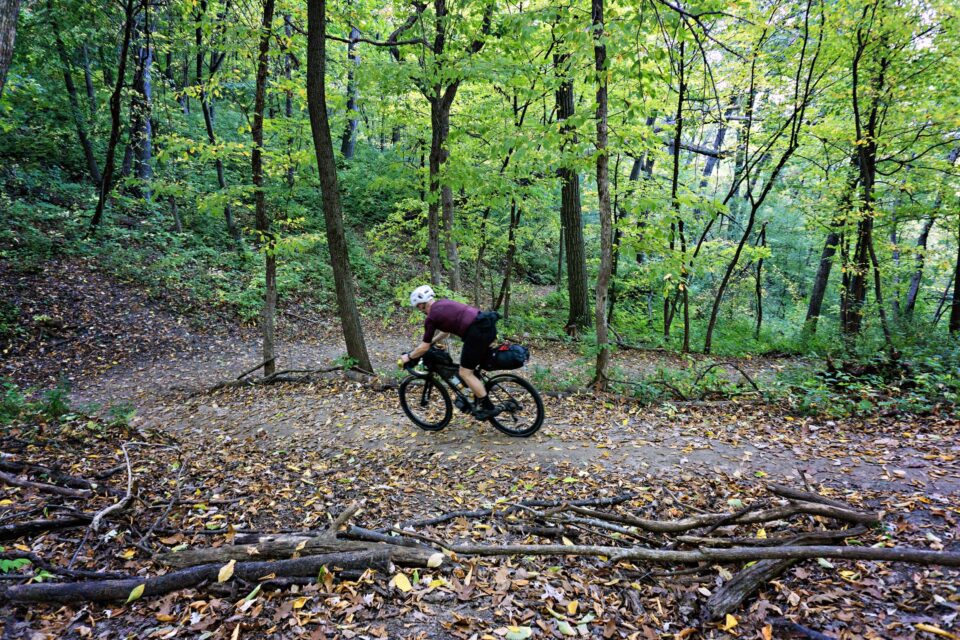
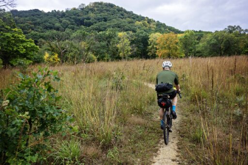
Riding through the Kickapoo Valley Reserve, you can opt for a handful of singletrack sections or bypass them altogether. There is singletrack before and after leaving Rockton and additional options as you enter Sidie Hollow. Much of the day is spent riding in and around an active Amish community. Most live without electricity or other modern conveniences and navigate the gravel by bicycle or horse and buggy. The Amish I have encountered have been very friendly and quick to wave, but they value their privacy, so be courteous and don’t take photos without asking. Grab lunch in Viroqua at the Driftless Cafe and refill your on-bike snacks at the Co-Op. There are limited tent camping options in Lansing, so we opted for a room at the Scenic Valley Motel. The price was right, and the water pressure was legit.
location Lansing to Brownsville
Day 4 (42 mi +3,195 ft)
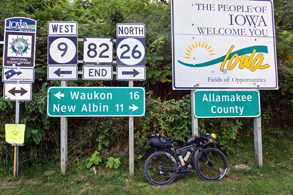
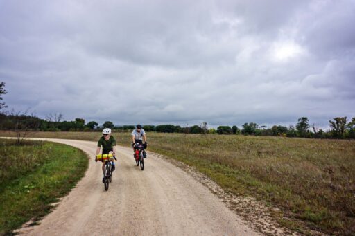
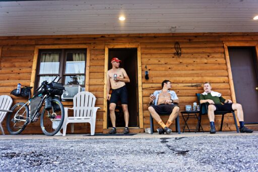
With a shorter day on the schedule, we opted to ride into town to get breakfast at Coffee on the River before starting. The first part of the day highlights some entertaining and enjoyable gravel roads in Iowa. Stopping for lunch in New Albin, we were challenged to find businesses open on a Sunday but did find bar food and drinks at Buzzards. There’s a public campground in Brownsville, but it caters to RVs. We opted to use the privately owned HipCamp called Shady Acres, just on the edge of town. We had dinner at Saxon Hall, where we appreciated the friendly staff just as much as the pizza.
location Brownsville to Winona
Day 5 (50 mi +3,120 ft)
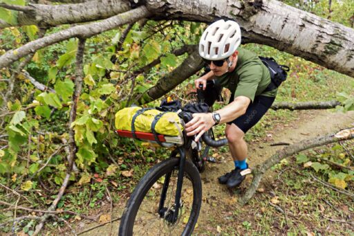
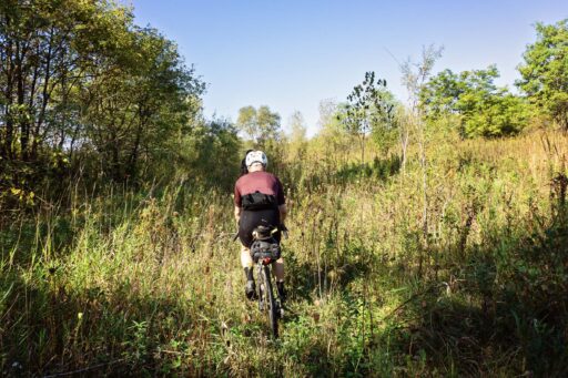
Our fifth and final day had us pushing out of Brownsville with our sites set on returning to Winona. Start the day by grabbing coffee and a breakfast sandwich at the Free Range Exchange in Hokah. Soon after, you’ll enter the Root River Wildlife Management Area and may begin to question if the route still exists. Place trust in the map and look for the faint trail as it pushes along the edge of a field and the Root River. The day includes a handful of nice climbs but also a fair amount of pavement. Getting back into Winona, you may still have the power in your legs to do the hike to the top of Sugarloaf for an impressive view of the river valley. We capped our ride by stopping at Island City Brewing before piling back into our vehicle to make our drive home.
Terms of Use: As with each bikepacking route guide published on BIKEPACKING.com, should you choose to cycle this route, do so at your own risk. Prior to setting out check current local weather, conditions, and land/road closures. While riding, obey all public and private land use restrictions and rules, carry proper safety and navigational equipment, and of course, follow the #leavenotrace guidelines. The information found herein is simply a planning resource to be used as a point of inspiration in conjunction with your own due-diligence. In spite of the fact that this route, associated GPS track (GPX and maps), and all route guidelines were prepared under diligent research by the specified contributor and/or contributors, the accuracy of such and judgement of the author is not guaranteed. BIKEPACKING.com LLC, its partners, associates, and contributors are in no way liable for personal injury, damage to personal property, or any other such situation that might happen to individual riders cycling or following this route.
Please keep the conversation civil, constructive, and inclusive, or your comment will be removed.


