Iberica Norte
Distance
343 Mi.
(552 KM)Days
7
% Unpaved
65%
% Singletrack
1%
% Rideable (time)
99%
Total Ascent
33,998'
(10,363 M)High Point
6,565'
(2,001 M)Difficulty (1-10)
6?
- 6Climbing Scale Moderate99 FT/MI (19 M/KM)
- 5Technical Difficulty Moderate
- 7Physical Demand Difficult
- 6Resupply & Logistics Moderate
Contributed By

Carlos Cuezva
Guest Contributor
Carlos Cuezva is a professional mountain and bike guide based in Ezcaray. He’s also a mountain bike trail builder and an enthusiast about nature and the outdoors. Follow Carlos on Instagram @lademandacycling and learn more lademandacycling.com.
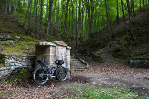
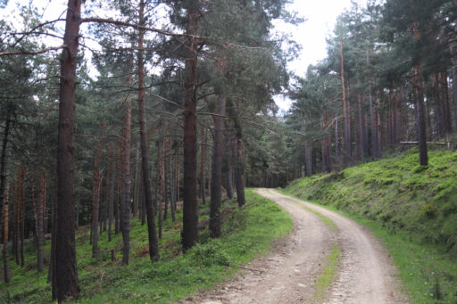
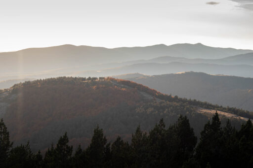
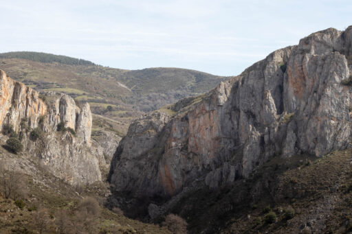
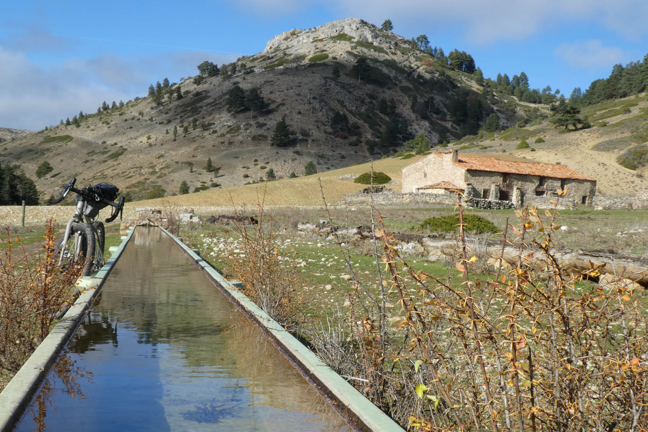
The Sistema Ibérico is the dominant mountain range that stretches over 500 kilometers across the northeast of Spain. It’s a natural border that separates the Spanish central plateau and the Ebro depression. The Ibérica Norte route runs through the northern part, mostly in La Rioja but also stretching into Soria in the south and Navarre and the Basque Country in the north along the Ebro river. It’s a route of grand contrasts, from the expansive and impossibly green forests of Sierra de la Demanda and Cameros to the arid Sierra de Alcarama and the lush vineyards on the banks of the Ebro River.
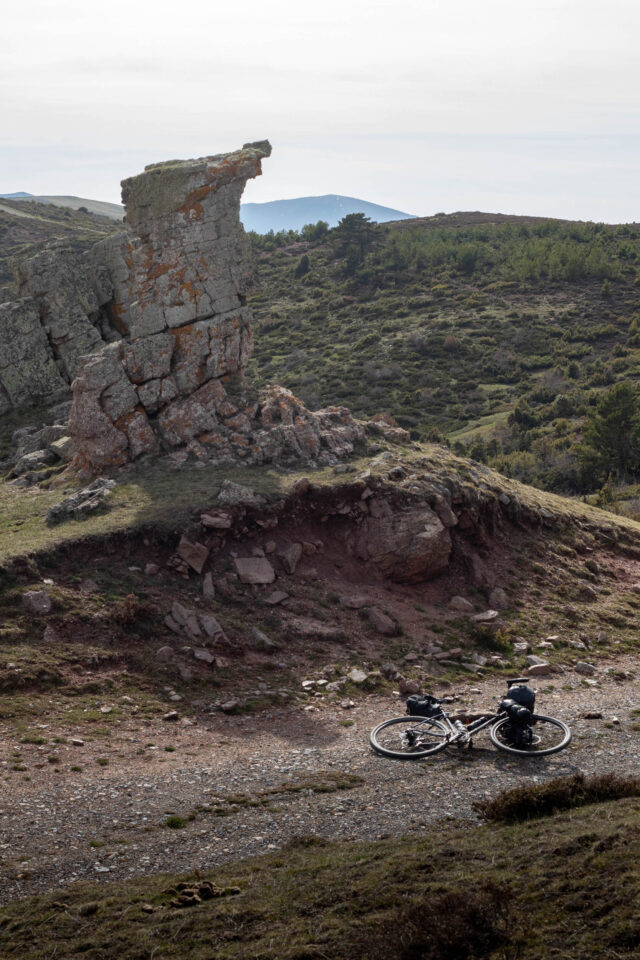
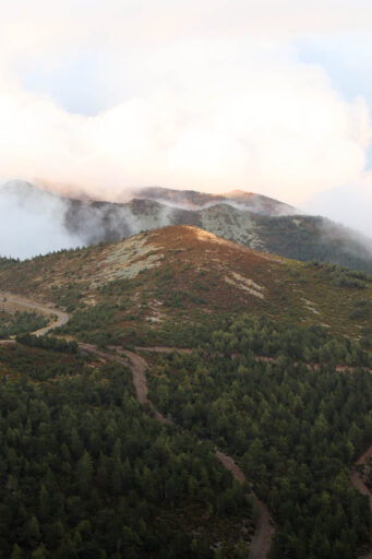
Within the Sistema Ibérico lies the Sierra de la Demanda, with Monte San Lorenzo as its highest peak. The last ice age heavily shaped the range, which is home to broad alpine peaks, green highland pastures, and expansive valleys cut by fierce rivers. Wildlife abounds. In La Rioja, and especially this mountainous part of it, you ride in the footsteps of dinosaurs whose fossilized prints are scattered along the route.
In medieval times, La Rioja was a borderland between the warring kingdoms of Navarre and Castile, giving rise to many castles and fortifications in the area. Some of them are perched on hills, and others grew into villages. The lifeblood of the region is the Ebro River. Its waters spring seas of vineyards, possibly the most iconic feature of the region. Wine from La Rioja is world-famous and is the region’s main industry and export. Its cultivation is intertwined with the inhabitants’ geography and way of life.
Moving up from the lowlands, the small villages in the harsh Tierra de Cameros and Sierra de Alcarama range sustained themselves by transhumance animal husbandry since time immemorial. Not long ago, this region was home to more than 200,000 sheep and their shepherds and families. They spent the summers in the cool highlands, and as winter approached, they herded their flocks all across the Iberian Peninsula to Extremadura in the warm southwest of Spain. Cameros also relied heavily on its lumber industry. Like in the lowlands, human operations heavily shaped the land. Only now, with declining agriculture, are the forests once again creeping down the slopes and gaining ground on the former pastures.
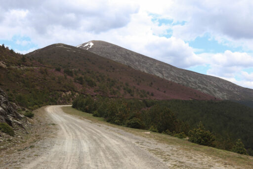
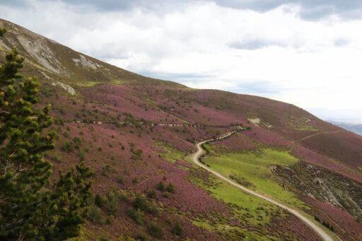
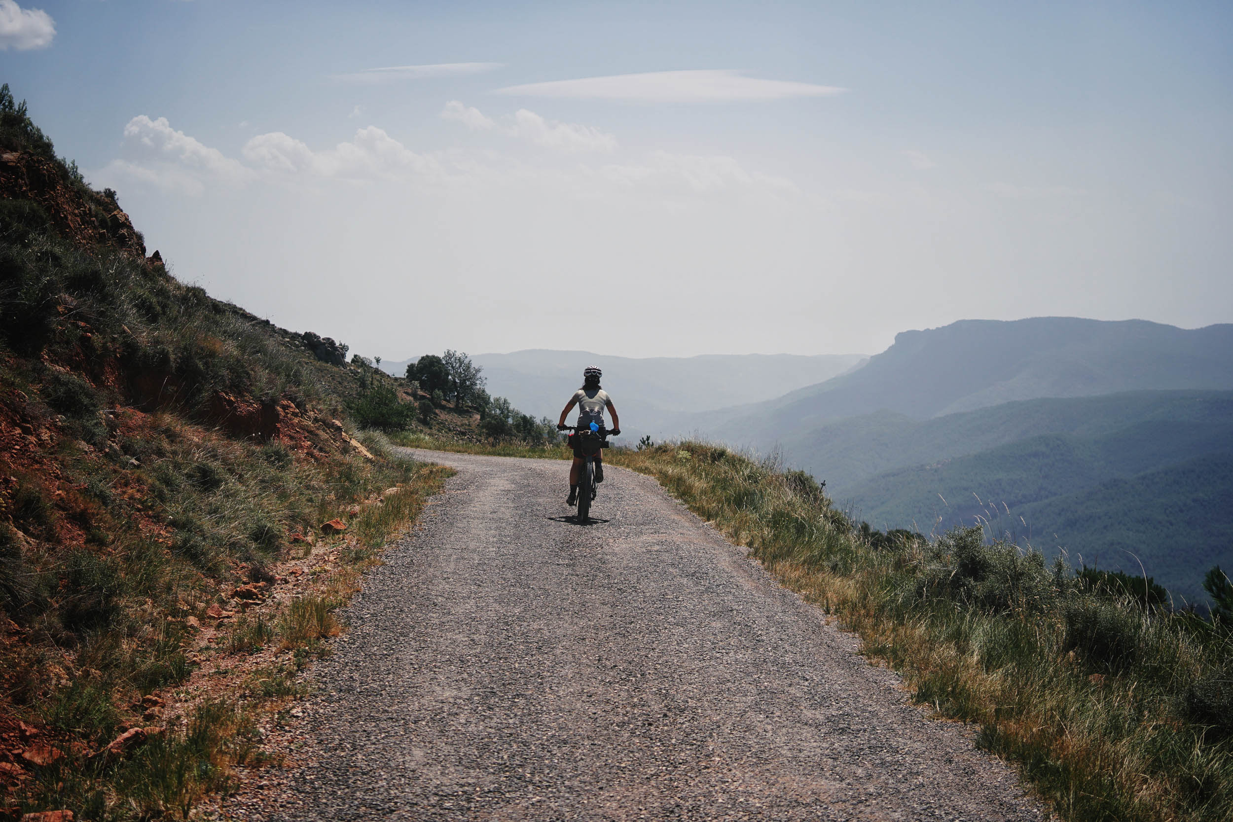
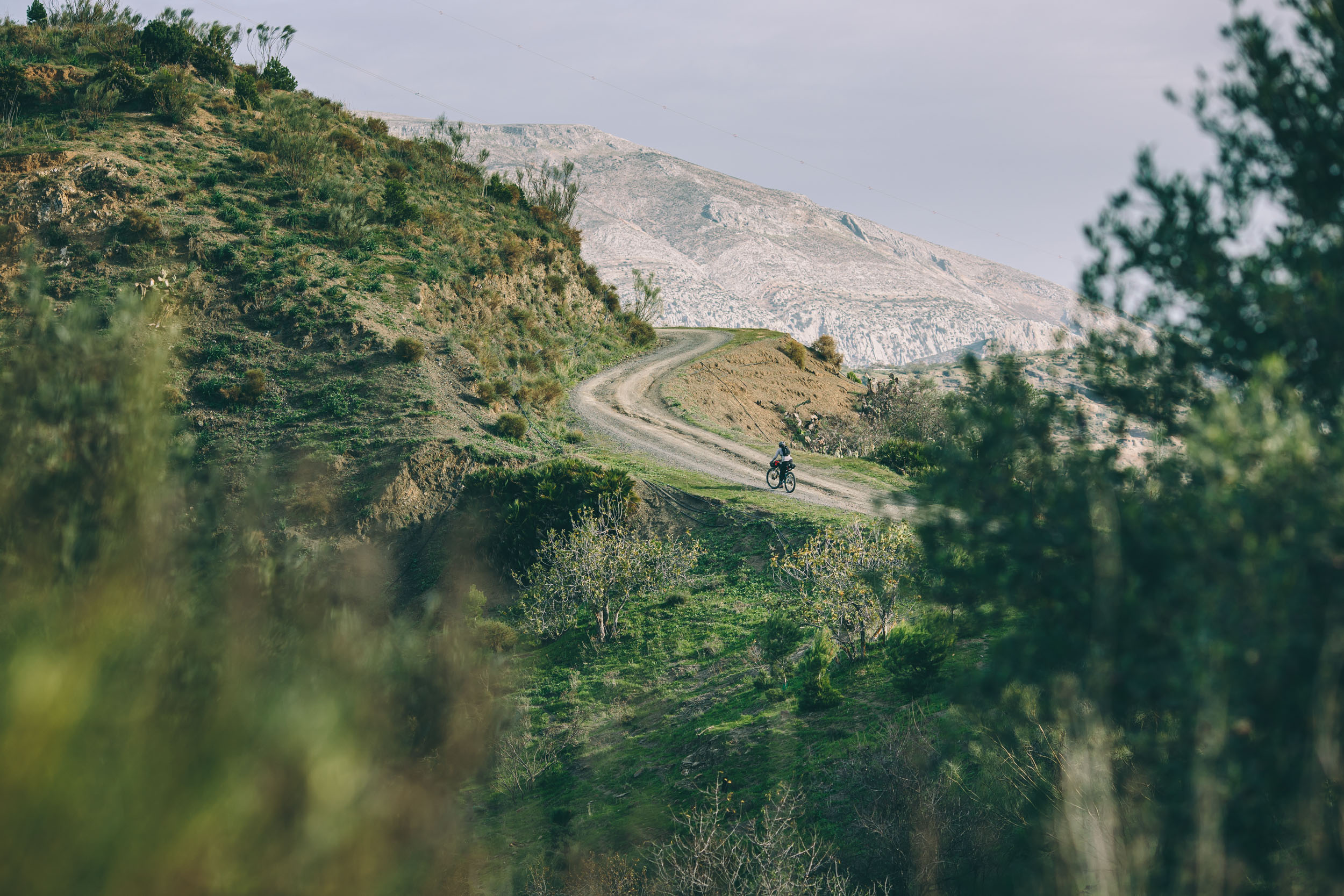
The Ibérica Norte route has two distinct faces. The southern part crosses the empty Spain, an area nearly devoid of humans but rich in vast, rugged landscapes. The north is flatter and mellower with bigger villages and cities dotting the mighty Ebro. The route uses mostly gravel roads, which are of excellent quality, quiet paved backroads, and also a little singletrack, offering a comprehensive tour of La Rioja’s diverse ecologies in just a few days. With a maritime climate moderated by the nearby Atlantic Ocean, the northern part of the route can be ridden all year round.
Route Difficulty
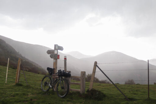
Ibérica Norte runs mostly along gravel roads, backroads, and long-distance hiking trails. I rate it 6/10 in overall terms of difficulty. The sections crossing the high sierras are quite remote. Resupplies are sparse. There are two almost mandatory extended hike-a-bike sections to connect gravel roads. The areas along the Ebro River have more population, and it’s no problem to find services. Expect long, steep grades in the mountains, and even the supposedly flat areas feature plenty of climbing.
Route development: Without a doubt, the Montañas Vacías route was the seed in Spain for many of us. I am forever grateful to Ernesto for such a nice idea and everything involved in it. The idea of Ibérica Norte started with my friend Eugenio Gonzalez, who introduced me to the bikepacking movement and changed my vision about bikes and cycling forever. He is a key part of this route.
Submit Route Alert
As the leading creator and publisher of bikepacking routes, BIKEPACKING.com endeavors to maintain, improve, and advocate for our growing network of bikepacking routes all over the world. As such, our editorial team, route creators, and Route Stewards serve as mediators for route improvements and opportunities for connectivity, conservation, and community growth around these routes. To facilitate these efforts, we rely on our Bikepacking Collective and the greater bikepacking community to call attention to critical issues and opportunities that are discovered while riding these routes. If you have a vital issue or opportunity regarding this route that pertains to one of the subjects below, please let us know:
Highlights
Must Know
Camping
Food/H2O
Trail Notes
- Logroño City, the capital of La Rioja, and, for many visitors, the starting point of the route. Great gastronomy and a lot of services there. It’s nice to have a walk around.
- Haro and the “Sonsierra” area. Known as the wine capital, Haro and the villages around the Ebro River are great. In San Vicente, you will find a nice viewpoint of La Rioja from the castle.
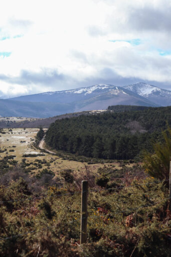
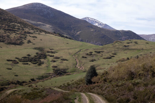
- Dehesa de Valgañon, one of the most spectacular places to ride on perfect gravel roads with a great view of Sierra de La Demanda. Nice huts or refugios in the area.
- Ezcaray and Sierra De La Demanda. It’s one of the iconic villages on the route, located in the heart of Sierra De La Demanda. From there, crossing the huge valleys of the Sierra is challenging and, at the same time, one of the most beautiful parts of the ride. Get immersed. Enjoy.
- The hike and bike on the GR-190. Short section where you will have to walk a bit with your bike, but for sure one of the things you will remember on this adventure.
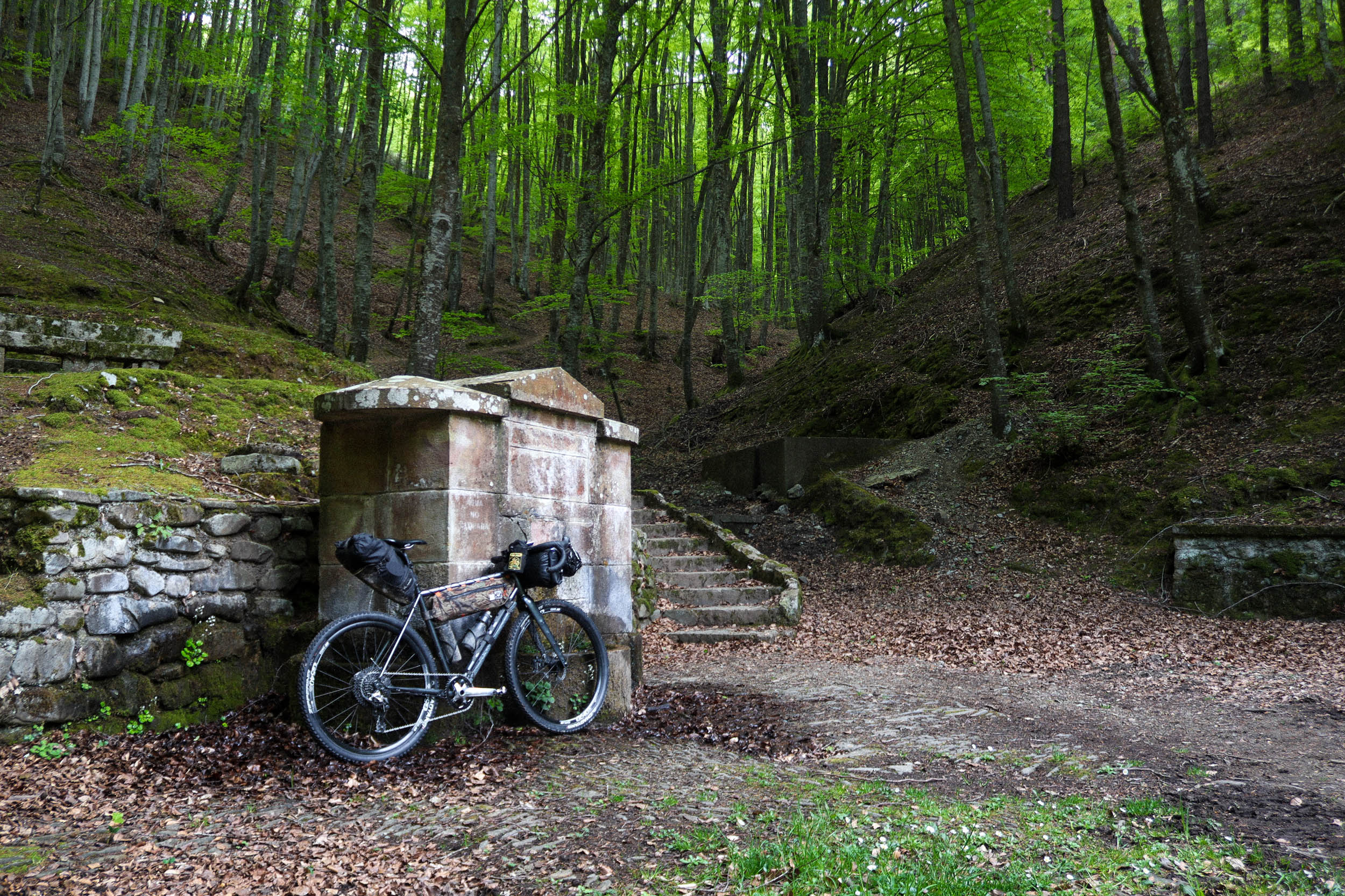
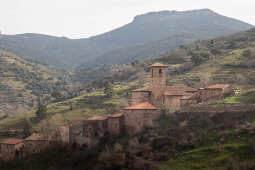
- Valvanera Monastery, and iconic place surrounded by forests, mountains, and history.
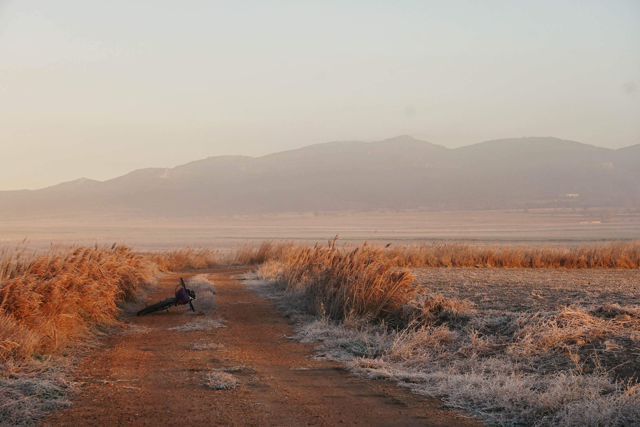
- Land of Cameros, a huge stretch of land, forests, and mountains famous in the past for the cattle tradition, which crosses the Cebollera Natural Park. Riding at sunset or dawn on the Montenegro Pass area is a highlight.
- Hayedo de Monterreal. A big beech forest with two huts around. It’s amazing if you can cross it during late October when everything turns orange.
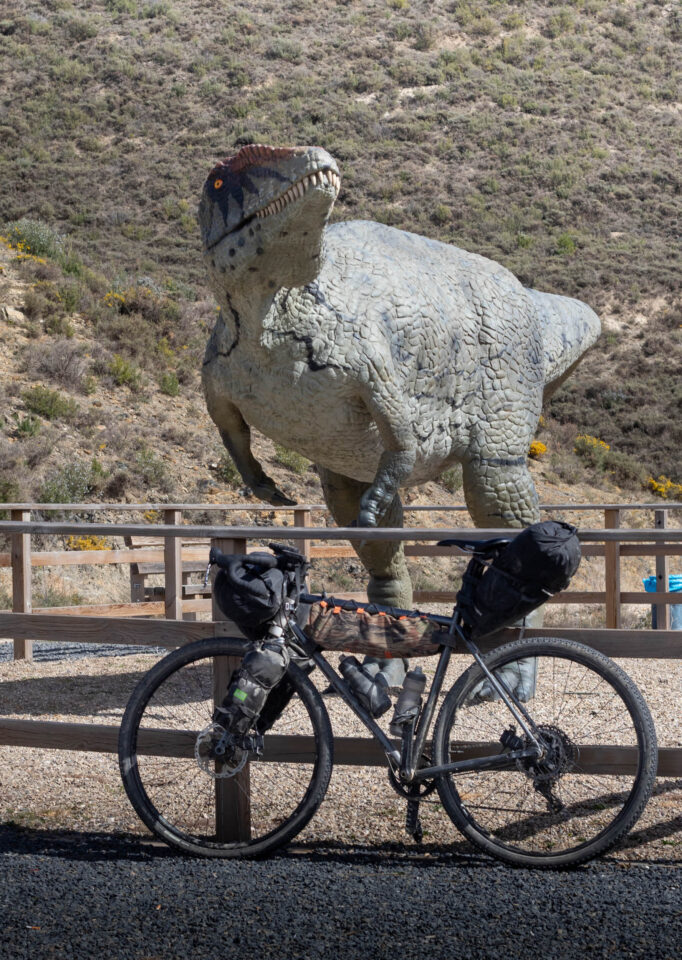
- The dinosaur’s footprints. It seems like they liked walking around here, and you will follow their paths.
- Sierra de Alcarama and Alhama Valley. In Arabic, “Alcarama” means pride. This region has a significant history of and influence from Arabic culture. Here, the landscape changes, and riding here looks completely different.
- Sierra de Yerga. Great gravel roads with nice panoramic views of La Rioja and the Moncayo.
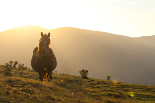
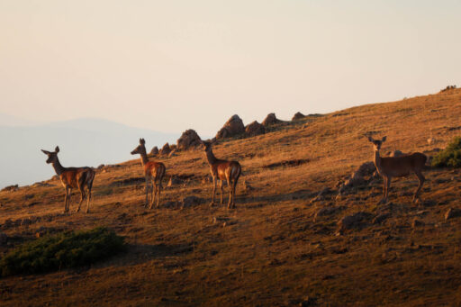
- Enjoy the nature around the route. The area is full of wildlife, and it’s easy to see some deer, wild boars, etc. Respect it. Leave everything as you found it before.
- Enjoy the silence and the clear skies at night crossing the mountain areas.
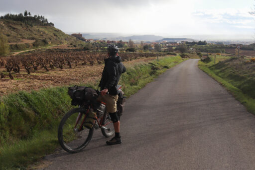
- Vineyards, wineries, and castles. La Rioja is famous for its wine culture, and we are one of the biggest producers worldwide. You will ride through vineyards and castles set amid stunning landscapes.
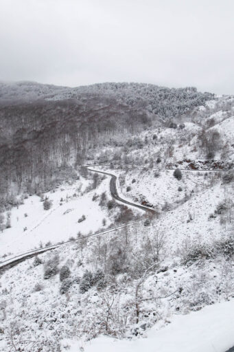
- The best season to come is spring or autumn. Summer is very good, with longer days, but it’s also warmer. The winter will be challenging, and the high areas of the sSerras surely will be covered in deep snow.
- The starting point is Logroño. To get there, the nearest airport is Bilbao and then Madrid. There’s also a train from Zaragoza and many bus connections from different cities around.
- If you need a bike shop, there are some options in Logroño and also in Santo Domingo (close to the route).
- If you plan to ride during winter, some paths could be closed because of snow, and some rivers could be bigger, but usually, there are no problems or dangers on the route.
- During the summer, some areas are at extreme risk of fire, so take care. Try to minimize the use of camping gas, and don’t make a fire if it’s unnecessary, even if you are in a hut or refugio.
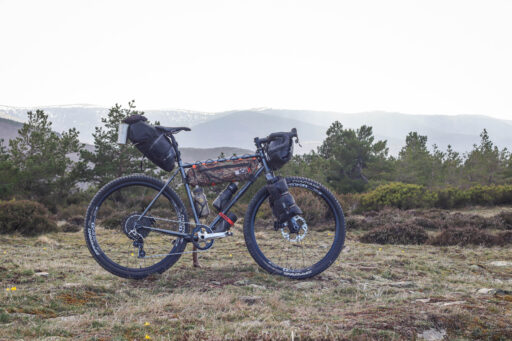
- Gravel bikes or mountain bikes are the best option. If you ride a gravel bike, I recommend using at least a 45mm wide tire.
- You can find more info available and a downloadable PDF guide on LaDemandaCycling.com
-
If you want to visit some other routes in Spain, you can ride Montañas Vacías, Camí dels Assagadors in Valencia, Cabañas & Estacas in Cantabria, and EVA Extraordinaria vuelta a Asturias.
- There is a camping in Villoslada de Cameros open during the summer season.
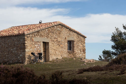
- The route includes many huts of refugios (some of them better than others). It’s a nice experience to spend the night in them. Respect them and try to leave it better for the next visitor.
- Bivying is allowed on the route but camping is forbidden in Cebollera Natural Park and Sierra de la Demanda.
- You will find easy options for water and food along most of the route.
- There are also bars, small shops, and supermarkets in the biggest villages or cities.
- From Ezcaray to Valvanera, it could be difficult to find water depending on the season, so be sure to fill your bottles in Ezcaray and carry extra.
- From Grañón to Valgañón, note that there are no fountains.
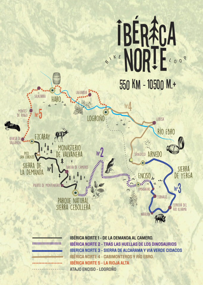
This is not the recommended day-by-day itinerary, but instead, the route broken down into five sections:
location Rioja Alta
134 km +2,150 m
From Logroño to Ezcaray. Starting in the capital, you will ride across vineyards, castles, and the dehesa de Valgañón. Take your time to enjoy and know the city and appreciate the view from San Vicente castle and the peace in the Dehesa.
location From la Demanda to Cameros
96 km +2,630 m
Enjoy crossing Sierra de la Demanda in one of the most spectacular environments of the route. Visit the Valvanera Monastery and enjoy crossing from Peña Hincada Pass to the Montenegro Pass.
location Chasing the dinosaurs footprints
114 km +2,685 m
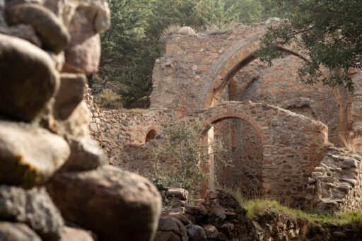
Climb the path from Ajamil to the hayedo of Montereal immersed in a huge forest. Take time in Enciso to know a bit more about the dinosaurs’ legacy. Visit the abandoned villages of Garranzo and Ambasaguas.
location Sierra de Alcarama and Cidacos greenway
106 km +2,090 m
Take a visit of the Cornago castle and the fountain of Muro de Aguas before crossing the sierra. The village of Navajun and the road from there to Aguilar is wonderful.
location Cabimonteros and Ebro river
96 km +1,000 m
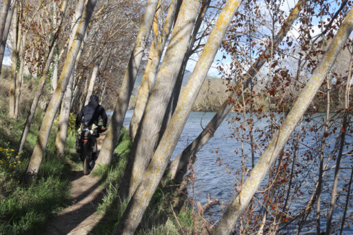
There are some thermal waters in the river in Arnedillo, but depending on the season, it could be full of visitors. Enjoy the village of Villa de Ocón and the windmill. Follow the Ebro from Lodosa to Logroño to close the circle on a chill ride.
La Rioja Alta Loop
If you’re looking for a shorter option, La Rioja Alta Loop was born with the idea of making a version of the Ibérica Norte for travelers who have less time on their hands. The route groups together segments 5, 1, and 2 (partially), from Ibérica Norte and adds a new section, which acts as a shortcut, to form a 320-kilometer route with 5,750 meters of climbing. La Rioja Alta is shorter but no less spectacular, entering into some of the most diverse landscapes of La Rioja and parts of the neighboring communities of Soria and Álava. Although different, the end of the route back to Logroño takes riders into some of the most impressive landscapes and geological areas of La Rioja.
Terms of Use: As with each bikepacking route guide published on BIKEPACKING.com, should you choose to cycle this route, do so at your own risk. Prior to setting out check current local weather, conditions, and land/road closures. While riding, obey all public and private land use restrictions and rules, carry proper safety and navigational equipment, and of course, follow the #leavenotrace guidelines. The information found herein is simply a planning resource to be used as a point of inspiration in conjunction with your own due-diligence. In spite of the fact that this route, associated GPS track (GPX and maps), and all route guidelines were prepared under diligent research by the specified contributor and/or contributors, the accuracy of such and judgement of the author is not guaranteed. BIKEPACKING.com LLC, its partners, associates, and contributors are in no way liable for personal injury, damage to personal property, or any other such situation that might happen to individual riders cycling or following this route.
Further Riding and Reading
Here are some connected/nearby routes and related reports...
Please keep the conversation civil, constructive, and inclusive, or your comment will be removed.


