Jutland Backroad Overnighter
Distance
95 Mi.
(153 KM)Days
2
% Unpaved
70%
% Singletrack
10%
% Rideable (time)
98%
Total Ascent
4,558'
(1,389 M)High Point
515'
(157 M)Difficulty (1-10)
5?
- 3Climbing Scale Fair48 FT/MI (9 M/KM)
- 5Technical Difficulty Moderate
- 5Physical Demand Moderate
- 2Resupply & Logistics Easy
Contributed By

Esben Mølsted Christensen
Guest Contributor
Esben started riding mountain bikes in Denmark before dedicated trails existed in the country. The riding back then was about exploring paths and backroads to make enjoyable routes. Today, he still loves this kind of riding, and bikepacking provides the opportunity to make these routes even longer. Esben often takes his kids out bikepacking, and they really enjoy exploring trails by bike, campfires, and nights out in the tent like their dad, and the dream is longer trips as they grow older.
Esben Mølsted Christensen and Sebastien Lebowski
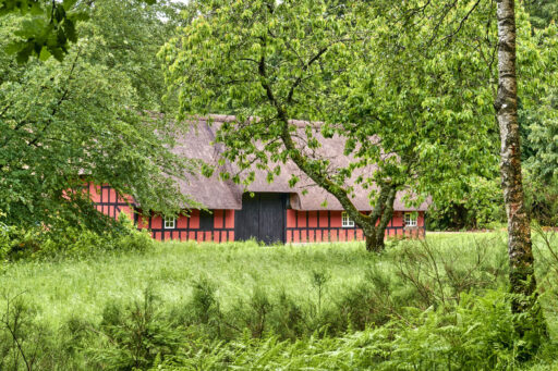
Starting and ending in the city of Horsens—easily accessible by train or car—the Jutland Backroad Overnighter has been scouted over the last five years, connecting backroads, farm tracks, forest roads, and rail trails throughout the region, with minimum pavement. The unavoidable sections on pavement follow smaller country roads with little traffic, or a paved car-free rail trail for the last section of the route back into Horsens. For a long stretch, the route follows one of the oldest roads in Denmark “Hærvejen” (The Army Road), today a well known hiking route for pilgrims, and a route which the European Divide Trail also follows through Denmark.
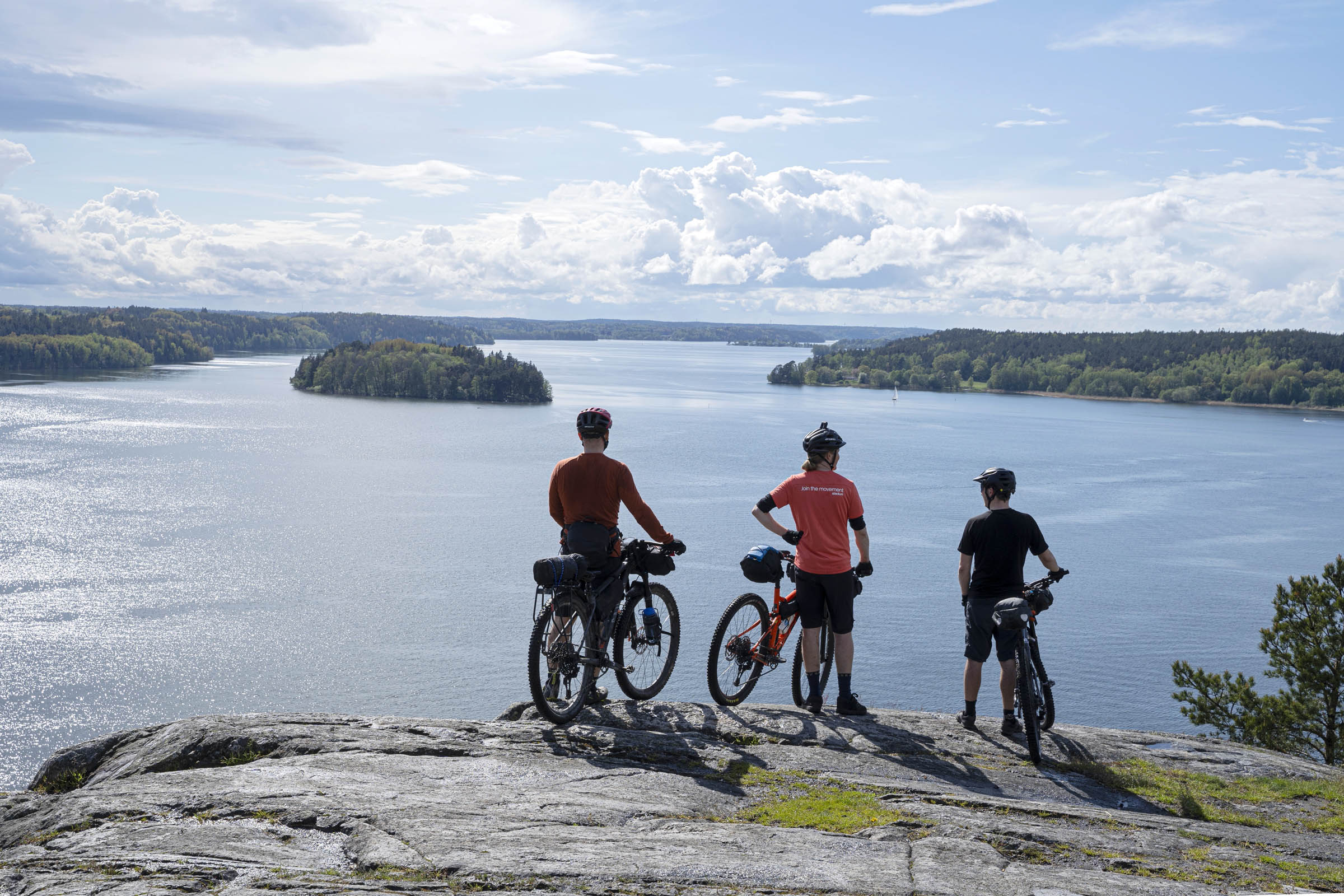
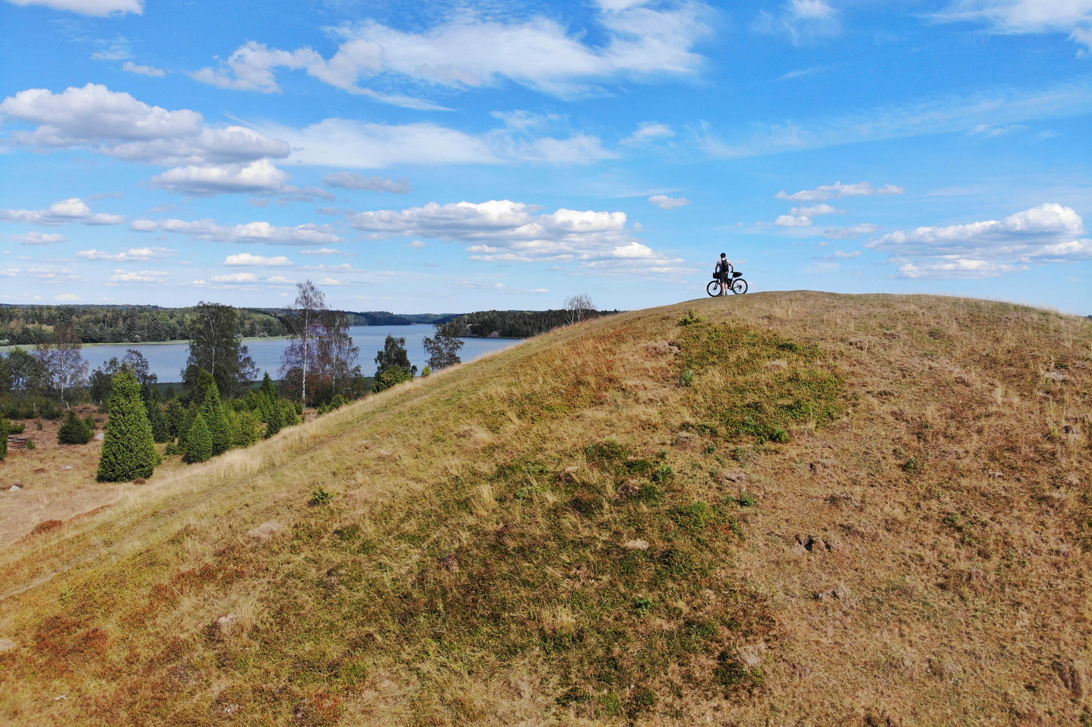
The route passes the source of Gudenåen, the longest “river” in the country, ancient stone age burials, countless forest-lakes, Himmelbjerget (The Sky Mountain or The Mountain of Heaven), which is not the highest point in Denmark, but the best known and most visited.
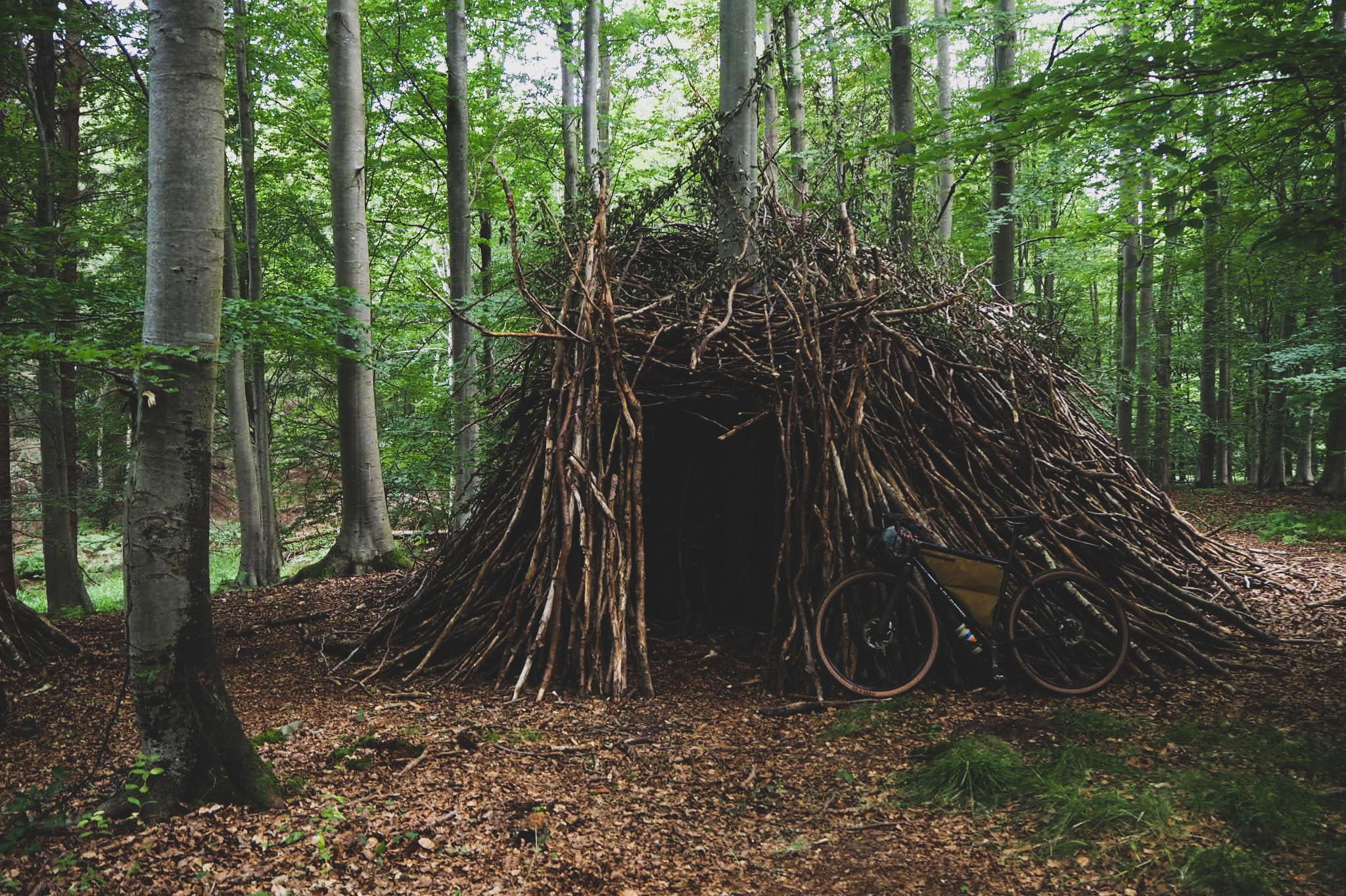
In Denmark, we have numerous free campsites and shelters for sleeping in nature, and this route utilizes a handful, making it easy to convert the route to a three days adventure if that’s more your speed. The route passes small towns now and then, and resupply in Denmark is fairly easy. A coffee-roaster, Tinnetgård Organic Farm Shop, a fish smokehouse, and an old railway-station now converted to a café are just some of the best spots marked on the map.
Route Difficulty
The route is rated 5 out of 10. Most of the riding is pretty straightforward on gravel roads and forest tracks. Shorter stretches follow a bit more technical singletrack trails, and a couple of times you need to pay extra attention when descending (marked on the map). Water and resupply is easy as you pass small towns every now and then on the route, and you can find water and toilets at most churches in Denmark (note that water can be shut off in winter season).
Route Development: The route has been developed over the last five years, and started off as an attempt to connect my favorite forests and natural areas within a radius of 50 km from my home, to always have a route for an overnighter ready. I have ridden the route a couple of times a year in all different seasons and weather, and every time I have found new tracks and sections to add to the route and perfect it.
 This route is part of the Local Overnighter Project, which was created to expand our growing list of worldwide bikepacking routes—the first and largest of its kind—and create an independent map and catalog of great bikepacking overnighters, curated by you, from your own backyard. Our goal is to have accessible routes from every town and city in the world. Learn More
Submit Route Alert
As the leading creator and publisher of bikepacking routes, BIKEPACKING.com endeavors to maintain, improve, and advocate for our growing network of bikepacking routes all over the world. As such, our editorial team, route creators, and Route Stewards serve as mediators for route improvements and opportunities for connectivity, conservation, and community growth around these routes. To facilitate these efforts, we rely on our Bikepacking Collective and the greater bikepacking community to call attention to critical issues and opportunities that are discovered while riding these routes. If you have a vital issue or opportunity regarding this route that pertains to one of the subjects below, please let us know:
Highlights
Must Know
Camping
Food/H2O
Trail Notes
- Riding the singletracks and wooden bridges through Uldum Kær (Uldum Marsh). The area is completely flat and, in the wintertime, often flooded with water. There’s a special atmosphere riding the tracks in this wetland surrounded by water, birds, and wind blowing through the reeds, passing the place called Verdens Ende (The End of the World).
- The ancient road Hærvejen (The Army Road). Old ancient trading route for cattle farmers and used to transport the army to the southern borders. Today, the route lives a peaceful life as a popular hike and bicycle route.
- The Farm Shop at Tinnetgård. The farm Tinnetgård placed directly at Hærvejen is a school for young people, and in the farm shop, they sell organic products (meat, vegetables, fruit, eggs, etc.) and other locally crafted goods.
- The Jutland Watershed and the source of the “great rivers.” With the sources of the two greatest rivers in Denmark situated only 200 meters apart, the gravel road on the Jutland Watershed is the only place to cross from south to north, without bridges and manmade structures.
- The Coffee Roaster in Nørre Snede. A nice place to grab a cup of coffee in the town of Nørre Snede and maybe buy a bag of freshly roasted beans for brewing later on.
- The campsite at Vrads Station. A free public campsite with shelters next to the old railway station. Today, the tracks are used as a vintage railway in the daytime, and you can admire the old steam locomotives while grabbing a drink and some cake in the café in the old station building.
- Snabe Igelsø. Just a few hundred meters from the camp at Vrads Station, one of the cleanest lakes in Denmark is situated beautifully in the forest, perfect for an evening dip in the summertime.
- Himmelbjerget (Sky Mountain or the Mountain of Heaven). Not the highest point in Denmark, but certainly the most famous and visited. The views are amazing but it can be crowded in the summertime.
- The campsite just below Himmelbjerget right down at the lake Julsø. It is a lovely campsite with two brand new shelters for sleeping in and space for tents or trees for hanging your hammock. There’s no drinking water at the camp, so remember to bring some from the church in Gammel Ry or one of the small shops at Himmelbjerget.
- The rail trail Bryrupbanestien. Old railway track is now converted into a bicycle path and is a nice, easy ride to end the route riding the last stretch back to Horsens.
- The route is best ridden from April to October. As we get more and more rain in the winter in Denmark, some parts of the route through Uldum Kær can be flooded from November to April. With a small detour around the wetlands at Uldum Kær, the rest of the route is more or less rideable all year round.
- Easy logistics. The route starts and ends in a park near the railway station in Horsens, and a large free parking area here makes it easy to get here by car, too.
- No permits needed. Some of the route runs through private forests, and it is legal to ride bikes on forest roads and manmade trails in private areas from 6 a.m. to sunset. In public forests, you can ride your bike on forest roads and manmade trails around the clock.
- Traveling in Denmark by bike is fairly easy. Most public transport offers spots for your bike. Infrastructure is generally bike-friendly and often on secluded bike paths.
- Only a short stretch of hike-a-bike. North of the lake Salten Langsø is a short stretch of trail where cycling is prohibited. Please respect the signs and push the bike for 200 meters until you pass the small bridge and the house.
- Ticks in the summertime. Generally, we don’t have many dangerous animals in Denmark, but we check for ticks after spending a day outside. They are small and easy to overlook but can carry diseases on rare occasions.
- Free public campsites are along the route. They range from a place to pitch a tent to campsites with shelters for sleeping in, drinking water, toilets, and firepits. The shelters are very popular in the summertime and weekends, so be ready to share the place with others.
- The Shelter App. The danish app Shelter can be used to find shelters and basic campsites.
- Camping in the woods. Pitching a tent for one night in many public forests in Denmark is now allowed. Find a map here.
- Wild camping is not officially allowed in Denmark (except the ones above), and if you do wild camp, please leave no trace and stay out of private forest areas when doing so.
- It is very easy to find water in Denmark. The route passes through towns every now and then, and you can find water at most churches. Some of the campsites also have drinking water (in the summertime).
- Food and resupply is possible several times as you pass towns with supermarkets and bakeries.
- Note that the highway is under construction west of Horsens, and that can affect the crossing points in the first and last part of the route (4.5km and 148.5km). A detour can be the case for shorter periods!
- Please dismount the bike on the short stretch of trail (about 200 meters) on the northern shore of Salten Langsø. Biking is prohibited, and a sign will tell you to not ride through; it is allowed to push the bike, though.
- Please respect that it is not allowed to ride bikes at the top of Himmelbjerget (Sky Mountain). Dismount and walk to the top to enjoy the view. In the summer a lot of people visit this place, and it can be a little crowded in peak season.
Terms of Use: As with each bikepacking route guide published on BIKEPACKING.com, should you choose to cycle this route, do so at your own risk. Prior to setting out check current local weather, conditions, and land/road closures. While riding, obey all public and private land use restrictions and rules, carry proper safety and navigational equipment, and of course, follow the #leavenotrace guidelines. The information found herein is simply a planning resource to be used as a point of inspiration in conjunction with your own due-diligence. In spite of the fact that this route, associated GPS track (GPX and maps), and all route guidelines were prepared under diligent research by the specified contributor and/or contributors, the accuracy of such and judgement of the author is not guaranteed. BIKEPACKING.com LLC, its partners, associates, and contributors are in no way liable for personal injury, damage to personal property, or any other such situation that might happen to individual riders cycling or following this route.
Further Riding and Reading
Here are some connected/nearby routes and related reports...
Please keep the conversation civil, constructive, and inclusive, or your comment will be removed.


