Meandros de Montebello, Chiapas
Distance
113 Mi.
(182 KM)Days
3
% Unpaved
65%
% Singletrack
1%
% Rideable (time)
100%
Total Ascent
7,332'
(2,235 M)High Point
5,528'
(1,685 M)Difficulty (1-10)
6?
- 4Climbing Scale Fair65 FT/MI (12 M/KM)
- -Technical Difficulty
- -Physical Demand
- -Resupply & Logistics
Contributed By

Cass Gilbert
Contributing Editor
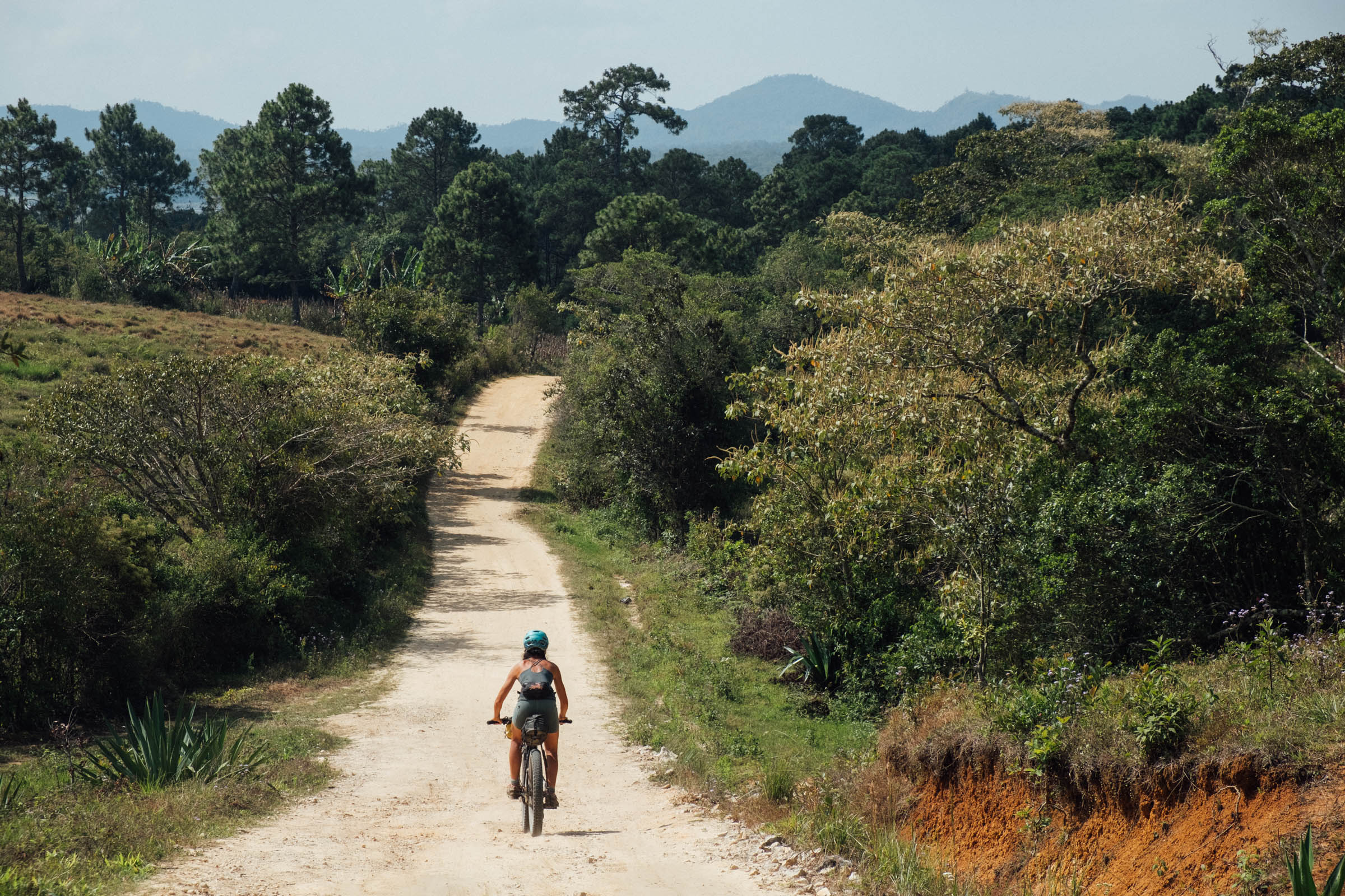
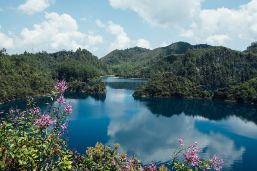
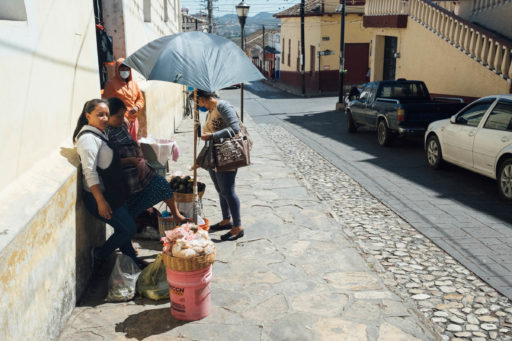
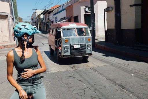
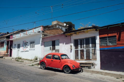
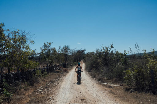
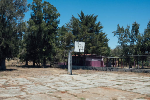
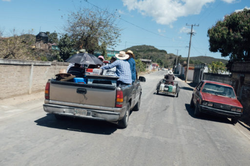
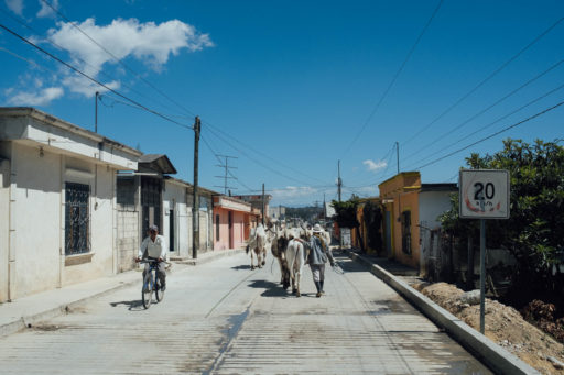
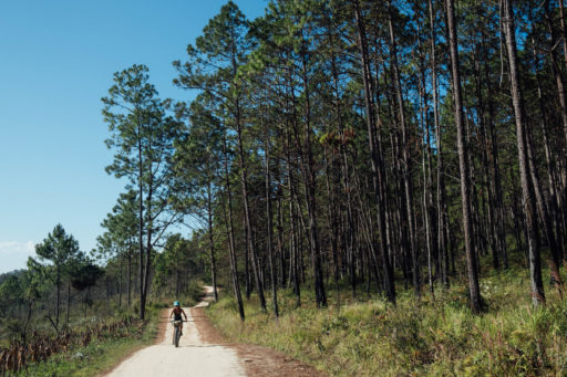
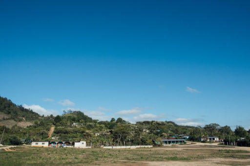
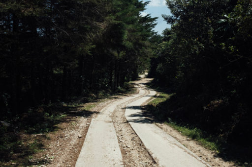
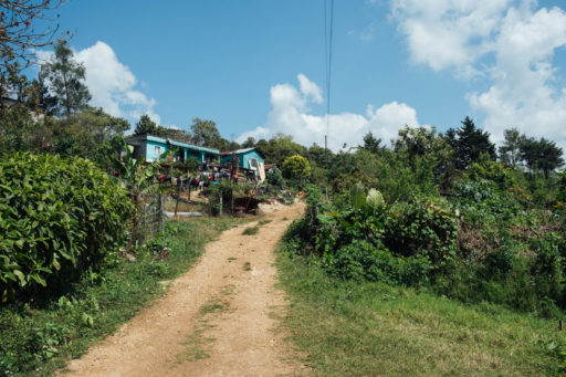
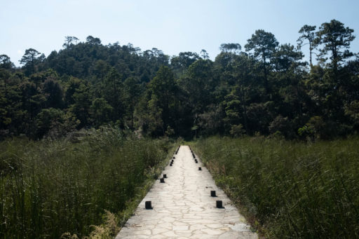
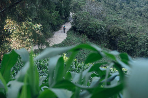
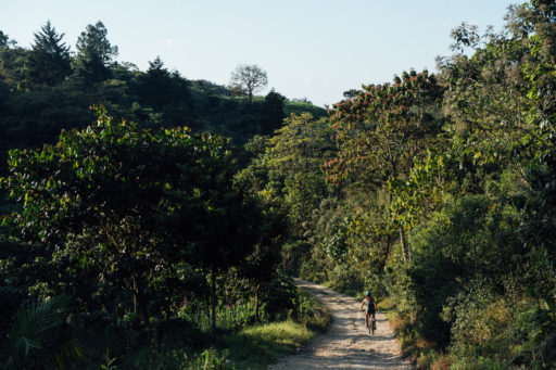
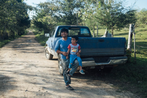
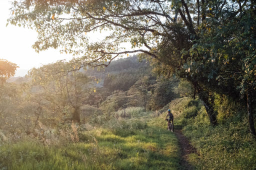
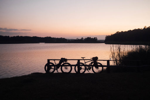
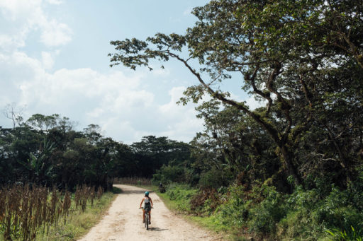
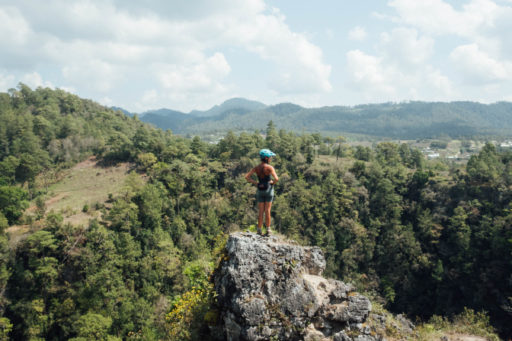
It’s hard to imagine a better beginner’s trip – or family ride – than this gentle loop around Mexico’s Lagunas de Montebello National Park. Meandros de Montebello is so named on account of its rambly and inquisitive nature. It’s packed with little out and backs in search of cenotes, viewpoints, and bathing spots. Compared to much of Chiapas – a rugged state by nature – this southernmost swathe is mostly kind in its grades. Whilst there’s a thriving, albeit low key, national tourism scene, roads – be they paved, dirt, or gravel – are invariably quiet. As for the scenery, it’s a heady mix of lush pine forest and expansive lakes, interspersed with compact settlements where coffee, limes, avocados, and bananas grow in every backyard.
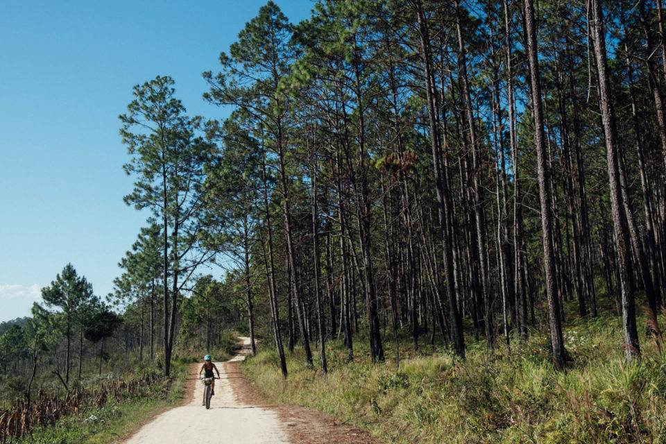
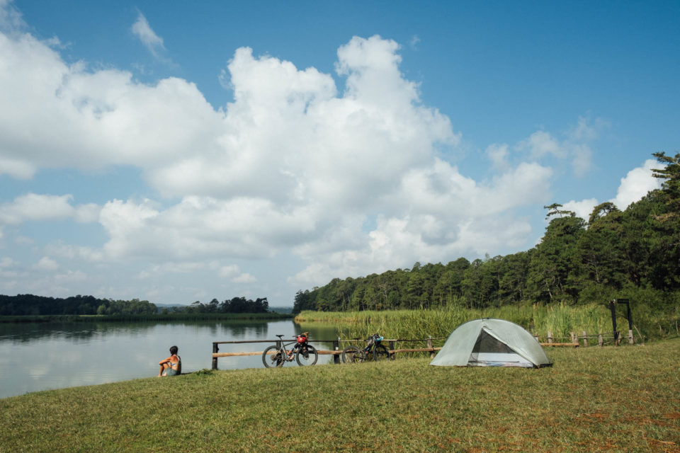
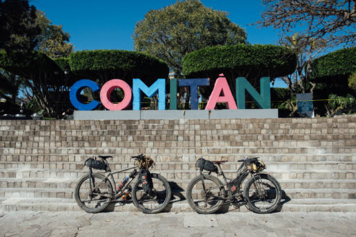
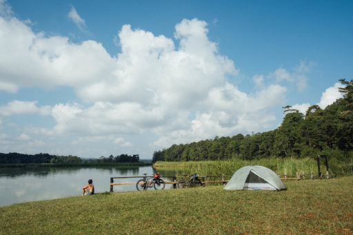
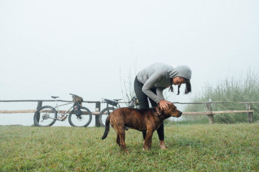
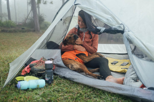
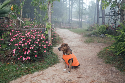
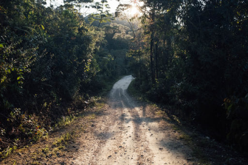
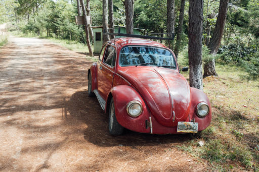
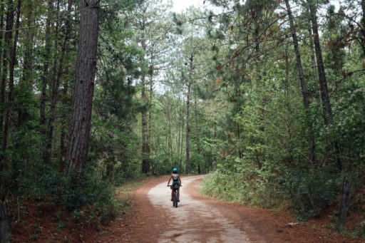
The loop heads north out of Comitán, Chiapas’ fourth-largest city, turning quickly onto a series of dirt roads, faint trails, quiet pavement, and glorious pine forests to Laguna Bosque Azul, via las Grutas de Arcoton. Bosque Azul is an idyllic spot to spend your first night, especially given the company of canine Tigre, who adores attention (see photos). For those unable to tear them away from his presence, consider basing yourself at Bosque Azul for two nights – as we did – and take advantage of some unladen riding the following day. Or, break the route into smaller portions by continuing onwards to Lago International the next day, right on the border with Guatemala, a distance that allows lots of time to swim and explore.
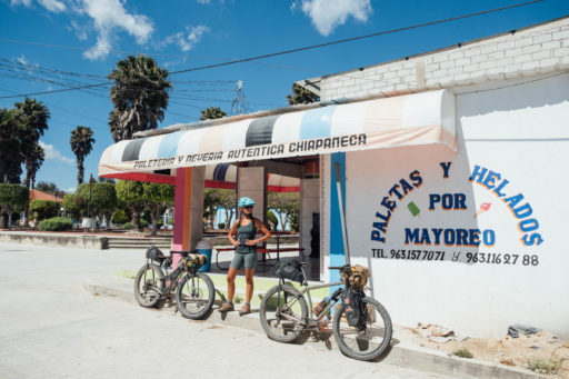
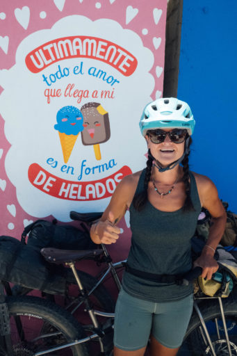
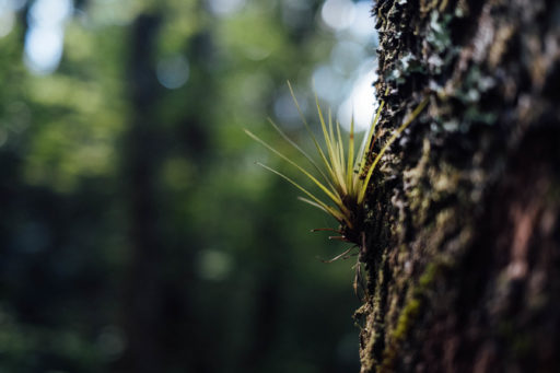
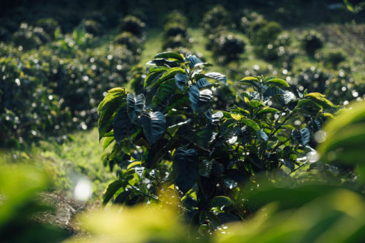
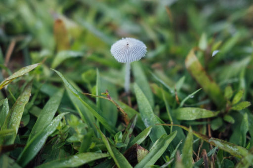
Flora-wise, it’s pine forests, oaks, banana plantations, cornfields, coffee groves, bromeliads, orchids, and jungle vegetation, with eagles, vultures, egrettes, and various waterfowl representing the region’s fauna. Unrelated but no less enjoyable, there are numerous ice cream parlours strung out along the route, promising icy cold horchatas and locally made paletas to help temper the often hot and balmy temperatures.
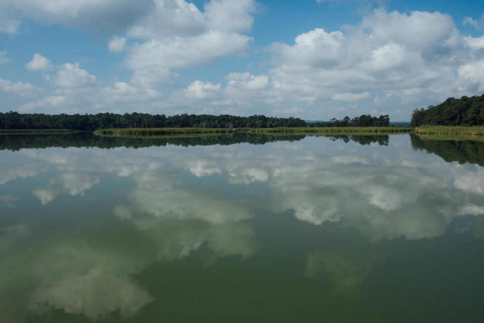
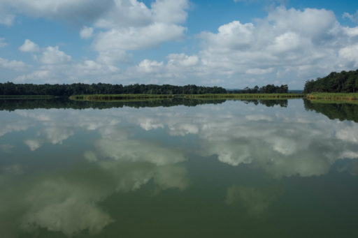
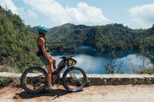
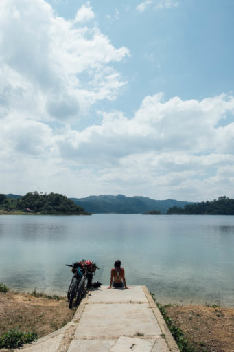
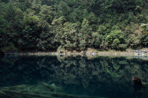
And then are the lakes themselves, of course, each a varying shade of jade green, azure, turquoise, and marine blue, depending on the light and their depths. Being a National Park, some are off-limits to swimming to keep them clean – we’ve marked the ones where it’s permitted to dive in and cool off. Lakes aside, there are caves to visit and short hikes to cenotes to enjoy too, as marked on the map. These dramatic sinkholes are formed by collapsed limestone bedrock and invariably setting to a backdrop of forest greens and birdsong.
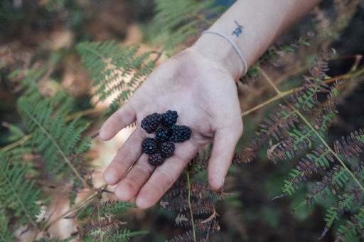
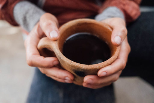
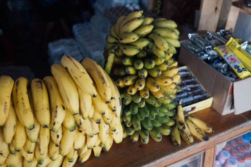
Another appealing aspect about this ride, for beginners especially, is the straightforward logistics. For anyone visiting from within Mexico, Comitán is easily easy reached by bike-friendly public transport from San Cristóbal de las Casas – and even the Yucatán and Oaxaca. There’s a prevalence of tasty food, so there’s never any need to carry much with you. This includes locally grown, almost caramelly tasting, finger-sized bananas – called morados and manzanos – and excellent regional coffee too, often served in rough earthware cups. Keep your eyes peeled for black raspberries in the pine forests, which are native to the area. It would be remiss of me not to mention the homemade coconut and melon ice cream too, scooped out of hand-pushed carts by vendors in sombreros who patrol the lakes’ car parks.
Route Development
I first spent time riding in this area in 2010, so this loop attempts to trace some of the roads I followed back then. But this updated version draws its inspiration from many additional sources. Comitán has a thriving mountain bike scene, so RWGPS is rife with heat maps. Wikiloc was also consulted, as it’s often an excellent resource for putting multi-day rides together in Mexico. Parts of the outward leg trace a route that Scott Paulker posted, gleaned from local riders he raced with. If you have suggestions for route improvements or updates, please let us know. Similarly, if there are bike-friendly, local businesses you can recommend, tell us about them.
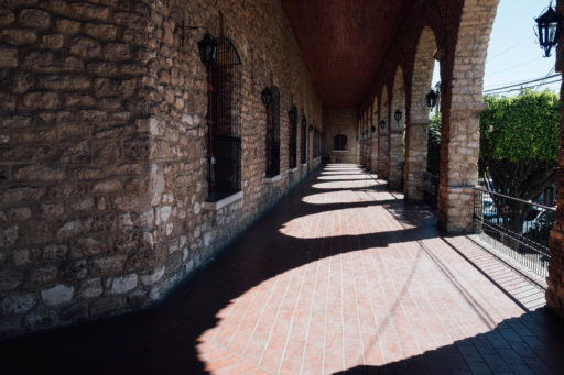
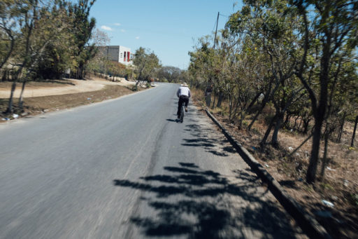
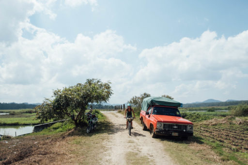
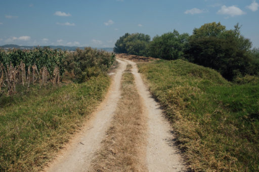
To avoid repeating itself as the route heads back to Comitán, the last 30 kilometres follow dirt and gravel roads through flat commercial farmland. Expect to share these rural connectors with other cyclists – both local mountain bikers at the weekend and farm workers during the week – the latter is likely to be seen riding a hoe balanced over the shoulder or a machete slung off a belt. Back in Comitán, there’s the promise of good food and a relaxed vibe around the city’s colonial-era plaza, Templo Santo Domingo de Guzmán, and a grid of narrow and colourful streets.
Family friendly… or bonus dirt adventures!
Bikepacking with your family? With a short shuttle bus from Comitán to El Triumfo, this route would also make a fantastic family ride, as there are camping spots, or cabañas, every 20km or so – a perfect range for little legs, with lots of off-the-bike activities along the way. Alternatively, if you’re looking for a little extra adventure, consider linking the Grutas de Arcoton to San Antonio Buenavista, via Tres Pinos – see POI on the map – via dirt and quiet backroads. This will add some extra miles to the loop, too.
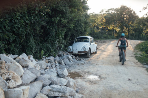
Rating: This route has been awarded a 6 because whilst the terrain is easy-going, there’s still some climbs to be tackled. Most of the surfaces are without incident, but this is Mexico, so expect potholes on pavement and a few rough stretches too. At the weekend, the area is likely to be busier – both with visiting tourists and local cyclists – and in the height of summer, the dirt roads can be dusty. Sunglasses are recommended.
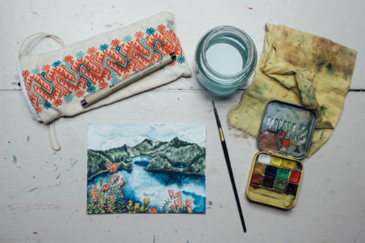
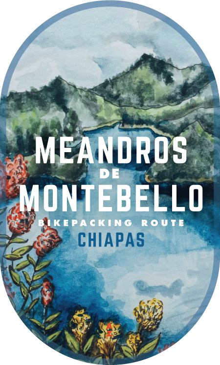
With many thanks to Emma Bucke for her watercolour of the ‘Cinco Lagos – one of the collection of lakes along the way – used in the route badge artwork.
Submit Route Alert
As the leading creator and publisher of bikepacking routes, BIKEPACKING.com endeavors to maintain, improve, and advocate for our growing network of bikepacking routes all over the world. As such, our editorial team, route creators, and Route Stewards serve as mediators for route improvements and opportunities for connectivity, conservation, and community growth around these routes. To facilitate these efforts, we rely on our Bikepacking Collective and the greater bikepacking community to call attention to critical issues and opportunities that are discovered while riding these routes. If you have a vital issue or opportunity regarding this route that pertains to one of the subjects below, please let us know:
Highlights
Must Know
Camping
Food/H2O
- Admiring a number of Parque Nacional Lagunas de Montebello’s 59 lakes.
- Taking a refreshing dip in the lakes where swimming is permitted.
- Following quiet, pine forest roads that see little traffic.
- The welcoming vibe; people in this part of Chiapas are especially friendly and happy to see tourists enjoying the area.
- Ice creams treats; both Michoacana-style paletas and homemade coconut cones provide the perfect respite from the jungle humidity and heat.
- Hanging out with Tigre; bonus highlight if you camp at Lago Bosque Azul.
- Best bike: this route can be completed on almost any bike, although a front suspension mountain bike is likely the most comfortable, due to some mixed surfaces. Alternatively, a gravel bike with 40mm tyres will work perfectly well too – and offer an extra turn of speed on paved stints. Don’t feel you need to invest in any specialist gear – panniers will be just fine – as this is a great area to try dirt road touring for the first time.
- Best time: In terms of road conditions, the height of the dry season – March and April – can be hot and dusty. In the middle of the rainy season – late August to early October – the region is prone to very muddy roads. The weather in this part of Chiapas can also be very humid throughout the year, especially near the lakes.
- Expect condensation in your tent and mosquitos lurking in the vicinity when pitched near the lakes. A summer sleeping bag is all you’ll need, though it can be cool in the evenings.
- There’s a small charge – 25 pesos per person – to visit all of the main lakes in the national park. Pay at one of the ticket booths that are located at the various entrances.
- Note that you can only swim in Lago Tziscao and Lago Montebello. The other lakes can be enjoyed with kayaks or balsas – boats that use native balsa wood. Pojoj lake has a small orchid garden on its island and you can swim off the island, too.
- To enjoy the cenotes on this route, expect to pay a fee of 25 pesos per person – if the fee station is open. Otherwise, it’s fine to enter. There’s a nice shady picnic area there too.
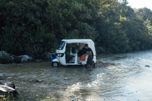
- ADO/OCC runs buses between San Cristóbal de las Casas – a popular tourist town in the central highlands of Chiapas – throughout the day. It takes two hours, costs 60 pesos, and there is generally plenty of room for bikes with wheels removed. There are also a number of minibus shuttling between the two cities, but you’ll need to find one with a roof rack and negotiate the price.
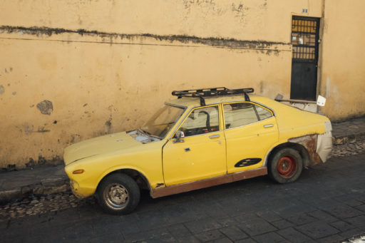
- Although San Cristóbal de las Casas is the main tourist hub in Chiapas and very cosmoplitan in vibe, Comitán is very appealing too. Situated at 1500m, it’s a lower-lying city and sees a greater proportion of Mexican tourists.
- As the poorest state in Mexico and one that has seen much exploitation over the centuries, Chiapas is no stranger to political unrest. However, this border region with Guatemala has been safe to travel for a number of years. It’s always worth checking up in the news for local updates or regional demonstrations, which are common in Chiapas.
- To gain an understanding of the recent political history of Chiapas, read up on the Zapatista movement – and its fight for Indigenous rights. Watch A Place Called Chiapas, El Fuego y La Palabra, and more recently, Vice’s The Zapatista Movement – 20 Years later.
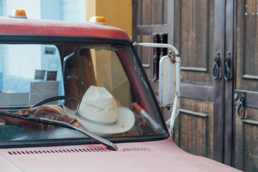
- Comitán has something of a cowboy vibe, thanks to a number of ranches nearby. If you want to buy locally sourced and crafted leather work – bags, machete sheaths, and the like – this is the place. The sombrero selection is especially good too.
- The city has at least a couple of good bike shops. We found ‘Extreme Riders’ very friendly and well-stocked. There’s a Giant shop in town too.
- To extend this ride, you can push through to the Mayan ruins of Palenque, via Bomampak and its impressive murals. Although the roads are largely paved, there is very little traffic to worry about.
- We’ve marked two good camping options on the map, one at Lago Bosque Azul and one at the far end of Lago Tziscao, depending on how you want to break up this ride.
- There are also a number of cabañas throughout this route, as can be seen on Google Maps. This area is a popular destination for Mexican families.
- In Comitán, there’s plenty of nice accommodation in the 300-500 peso range – roughly $15-25 – within a few blocks of the main square.
- Food and water are never an issue – you’ll find small tiendas with basic supplies and fresh fruit in every community, as well as ice cream shops, taco stands, and comedors in larger settlements. Hours can be erratic, so it’s always best to have some snacks with you.
- Many people and businesses source their water from garrafones, 20-litre reusable bottles, so offer some pesos if you ask for water or be sure to leave a tip.
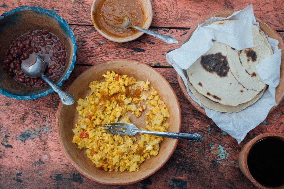
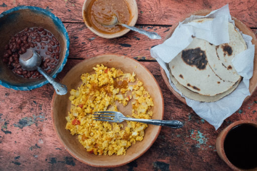
- The desayuno típico is especially good in these parts – think eggs, refried beans, handmade tortillas, salsa, and fried plantains. It’s great cycling food and rarely costs more than 50 pesos, with a cup of coffee too.
- We’ve also marked a couple of great coffee shops in Comitán that we came across.
- Back in town, a visit to the square in the evening is sure to provide opportunities to fill your belly. Stands pop up selling elotes, garnachas, and tacos, as well as warm drinks, like arroz con leche, atole, and hot chocolate.
Terms of Use: As with each bikepacking route guide published on BIKEPACKING.com, should you choose to cycle this route, do so at your own risk. Prior to setting out check current local weather, conditions, and land/road closures. While riding, obey all public and private land use restrictions and rules, carry proper safety and navigational equipment, and of course, follow the #leavenotrace guidelines. The information found herein is simply a planning resource to be used as a point of inspiration in conjunction with your own due-diligence. In spite of the fact that this route, associated GPS track (GPX and maps), and all route guidelines were prepared under diligent research by the specified contributor and/or contributors, the accuracy of such and judgement of the author is not guaranteed. BIKEPACKING.com LLC, its partners, associates, and contributors are in no way liable for personal injury, damage to personal property, or any other such situation that might happen to individual riders cycling or following this route.
Please keep the conversation civil, constructive, and inclusive, or your comment will be removed.


