Heart of the Greens Loop
Distance
38 Mi.
(61 KM)Days
2
% Unpaved
81%
% Singletrack
54%
% Rideable (time)
95%
Total Ascent
5,909'
(1,801 M)High Point
2,850'
(869 M)Difficulty (1-10)
8?
- 10Climbing Scale Very Strenuous156 FT/MI (29 M/KM)
- 6Technical Difficulty Moderate
- 9Physical Demand Very Difficult
- 5Resupply & Logistics Moderate
Contributed By

Jordan Rowell
Guest Contributor
Jordan was born and raised in the beautiful Green Mountain State of Vermont. In 2022, he landed his dream job with the Velomont Trail and Vermont Huts Association. In his role as Project Manager, Jordan had the privilege of working with dozens of stewardship organizations and local trail champions across the state to make the vision of the Velomont Trail a reality. Learn more at VelomontTrail.org and VermontHuts.org.
Heart of the Greens traverses public and private lands and relies on us as trail users to ensure long-term access and sustainability. Learn more about our set of shared values for trail stewardship at BikeBorderlands.com.
The jumping-off point for the Heart of the Greens Loop, Rochester, is a small New England town with an adventure streak. Incorporated in 1781, the compact village features historic homes and a classic town green (with a gazebo) where you can catch weekly farmer’s markets and town concerts. The White River flows alongside the village and through farmland, winding its way to the Connecticut. Farms surround the village throughout the narrow valley, and the northern forest is close at hand as the Green Mountains rise sharply all around. Local lore suggests that Rochester lies either in the center of Vermont or close to it.
Access to public land is a rare gift in New England. Many Vermont towns are dominated by private land, but nearly a third of Rochester township is owned by the United States Forest Service—the Green Mountain National Forest. A decade ago, local residents formed a non-profit called Ridgeline Outdoor Collective (ROC) and have been working closely with the Forest Service to develop public recreational resources in the forest. ROC provides a direct connection to the community and also drives stewardship efforts. Enjoy (and respect) the fruits of this hard work as you make your way along this route.
Even if you’ve ridden in Vermont before, Heart of the Greens offers something new: machine-built singletrack climbs and descents of more than 1,500 feet. The new Velomont singletrack sections send you high up the local peaks to drop you into the next town.
Route Difficulty
This route only covers 38 miles but features almost 6,000 feet of climbing and is more than half singletrack. The singletrack is not particularly technical, and the climbs are nicely graded. There are resupply options halfway along the route and plentiful (filterable) water sources, making your load somewhat lighter. Based on those characteristics, this route is an 8 as an overnighter.
Route Development: Imagine a continuous trail and conservation corridor that links mountain ridges to Vermont villages, all supported by a backcountry hut network. This ambitious project has the potential to conserve landscapes, connect communities, build economies, and create an incredible recreational resource. This is the Velomont. The Velomont invites people on bikes, skis, and foot to one day explore 485 miles of trail that will connect 30-45 backcountry huts and downtown hostels and 27 communities, potentially conserving over 200,000 acres of crucial wildlife corridor. When complete, the Velomont will represent the largest hut-supported trail network in the United States. Follow the Velomont Trail on Instagram @velomonttrail and learn more about future plans here.
 This route is part of the Local Overnighter Project, which was created to expand our growing list of worldwide bikepacking routes—the first and largest of its kind—and create an independent map and catalog of great bikepacking overnighters, curated by you, from your own backyard. Our goal is to have accessible routes from every town and city in the world. Learn More
Submit Route Alert
As the leading creator and publisher of bikepacking routes, BIKEPACKING.com endeavors to maintain, improve, and advocate for our growing network of bikepacking routes all over the world. As such, our editorial team, route creators, and Route Stewards serve as mediators for route improvements and opportunities for connectivity, conservation, and community growth around these routes. To facilitate these efforts, we rely on our Bikepacking Collective and the greater bikepacking community to call attention to critical issues and opportunities that are discovered while riding these routes. If you have a vital issue or opportunity regarding this route that pertains to one of the subjects below, please let us know:
Highlights
Must Know
Camping
Food/H2O
Trail Notes
The Heart of the Greens Loop has all the pieces of a perfect Vermont trail adventure:
- Two creemee (soft serve ice cream) stands
- Lon-range views of the Green Mountains and White River Valley
- An abundance of tacky singletrack flow trails
- Linking the Rochester Valley Trails with the Green Mountain Trail network, accessing more than 60+ total miles of singletrack
- A thrilling, gravity-induced ride down the legendary “100 turns” and 1,500 feet of the Tunnel Ridge trail
- Miles of modern backcountry adaptive mountain-bike friendly flow trail
- Classic New England woods roads and gravel grinds to connect the singletrack with minimal time on pavement
- Connectivity to expansive trail networks for modified route options, side trips, and those looking to add extra miles
- A backcountry hut resting high in the VT hills with ADA accessibility, solar-powered lights, heat, and comfy bunks
- A second backcountry yurt-style hut with solar power, pump sink, bunks, and a deck for sprawling out in the sun
- Backcountry camping options in the National Forest
- Swimming holes, scenic vistas, and ridgeline rambles
- A downtown hostel with shared and private rooms
- Fully stocked VT country stores with delicious local brews, hot coffee, signature maple creemees, and even a “bookery” where you can enjoy your fresh-baked croissant during a mid-ride peruse of maps and books
- Bike shop, inns, gas stations, and other small town amenities
- The loop is good from June through early October. Check the Ridgeline Outdoor Collective website for spring trail conditions, as sometimes mud season lingers into June in the Green Mountains.
- Bike Selection: A hardtail or full-suspension mountain bike is recommended. Due to the smooth nature of much of the machine-built singletrack, rigid mountain bikes may be suitable for experienced riders.
- Parking: Please park only in the locations mentioned below. Parking in incorrect locations can stress our community and put trail access at risk!
- Trail etiquette: The Velomont Trail is a bi-directional long distance trail. This means that at any given time other mountain bikers, hikers, or trail runners may be traveling in the opposite direction. Also be courteous and yield to the user traveling uphill to show respect and generosity.
- Wet Trails: Much of this route is on natural surfaced singletrack trails. If you’re consistently leaving ruts in the trails, look for alternate gravel/paved routes to finish your itinerary. Trail conditions are occasionally updated on Trailforks, and you can also ask the staff at Green Mountain Bikes if it’s rained much recently. Use your best judgment and respect this gift!
Developed Campgrounds
- Chittenden Brook Campground, Green Mountain National Forest. Reserve Online.
- Bingo Brook Primitive Camping, Green Mountain National Forest – 10 first come-first served primitive campsites.
Dispersed Camping
- Dispersed camping is allowed in most locations in the Green Mountain National Forest portion of this route. Refer to the Green Mountain National Forest dispersed camping guidelines or visit the Ranger Station in Rochester for more information.
- Much of this trail crosses private lands, where camping is not allowed without landowner permission. Please help us maintain good relationships with our neighbors and plan to camp or stay at the options listed above.
Lodging
- The Spikehorn Yurt sleeps six and is located 2.5 trail miles from downtown Rochester. Reserve Online.
- The Chittenden Brook Hut is ADA-accessible and sleeps 10. Reserve Online.
- The Stable Inn features hostel-like accommodations located in downtown Rochester. Reserve Online.
- Shrek’s Cabin (Operated by Riverside Farm) is located at the top of the Green Mountain Trails network accessible via a spur from the Velomont-Contest Loop. Three trail miles from Pittsfield.
- Resupply options in Rochester include a grocery store and two cafes
- Pittsfield features a country store and gas station
- The route crosses numerous year-round streams for filtering
The following narrative is based on a clockwise trip starting in Rochester, but the information is relevant no matter how you choose to enjoy the loop!
Rochester to Pittsfield
This route starts in downtown Rochester, a quintessential Vermont village that has become a local trail hub in recent years thanks to the efforts of local residents and the Ridgeline Outdoor Collective. Grab a muffin and coffee from Sandy’s Books and Bakery, or pop over to Green Mountain Bikes to check trail conditions before heading south on Route 100 to start your journey through the Heart of the Greens!
After only a mile on Route 100, take a right onto State Garage Road and immediately cross a bridge over the White River. Follow this paved road past the town garage and a smattering of homes before the forest begins to close in, the road turns to dirt, and your first climb begins.
Shortly after you begin climbing, you’ll approach the area of the Spikehorn Yurt. This privately owned yurt managed by the Vermont Huts Association is open for reservations year-round on their website. At 2.5 miles from town, this is a good place to stay if you want to start your journey on a Friday night and spend your first night in the woods.
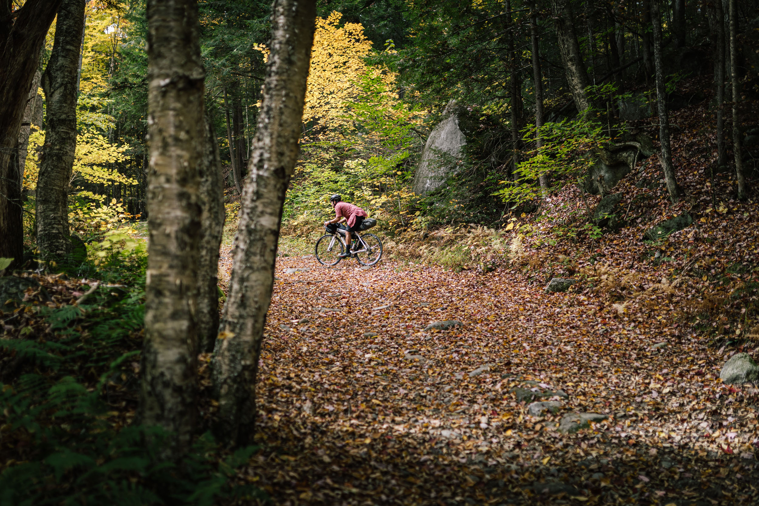
At the five-mile mark from town, you’ll encounter your first singletrack of the journey: the recently repaired Contest Trail. The contest trail is the first trail designated for mountain bikes in the Green Mountain National Forest. A contest was held to name the trail, however, nobody entered the contest and therefore the name “Contest Trail” was given. The Contest Trail will spit you back out onto the gravel-surfaced Liberty Hill Road, which brings you south and downhill back onto Route 100 to coast into downtown Pittsfield. Use caution when merging onto Route 100 here.
Spend another half-mile pedaling on blacktop to arrive in downtown Pittsfield, home of the Green Mountain Trails network. The Green Mountain Trails are a multi-use network of 25 miles of singletrack over varied terrain, including rooty, rocky old-school tech and plenty of smooth switchbacks down the 1,000 feet of elevation. If you’ve got extra time in your itinerary (and energy left in your legs), it’s worth a trip. Access can be tricky when there’s a wedding underway, so check TrailForks for the latest info on trail status. In addition to the trails, Shrek’s Cabin is a small but popular stone hut perched at the top of the network, available for bookings via HipCamp.
Also in Pittsfield are the Pitt-Stop/Swiss Farm Market and the Original General Store. Have your pick of deli sandwiches, ice cream, and other delectable treats. This will be the last time to stock up on supplies until the end of the ride. When you’re ready, head west out of town on Upper Michigan Road and back into the woods.
Pittsfield to Chittenden Brook Hut
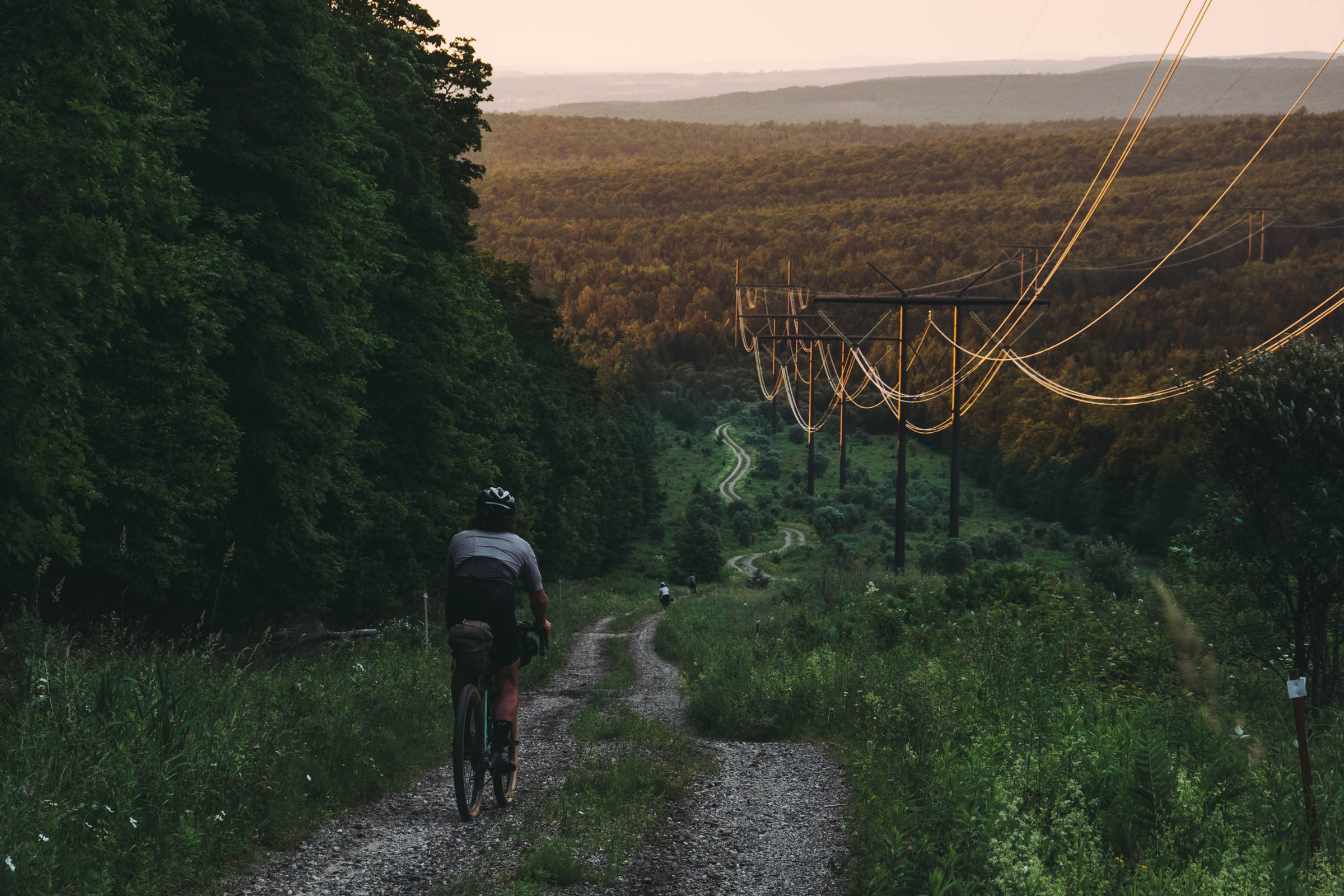
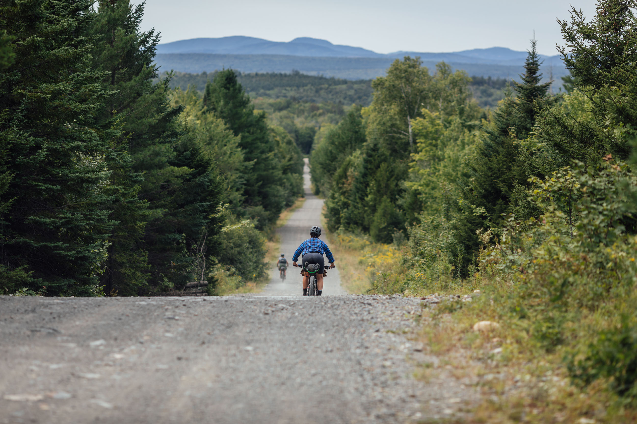
For the next four miles, you’ll be gently climbing up the Upper Michigan road, a pleasant dirt road that first winds between beautiful old farmhouses with occasional views to the south. After passing an obvious trailhead parking area signifying your entrance into the Green Mountain National Forest, the road gets a bit more rugged, and while generally considered passable by passenger vehicles, expect lots of ruts and mud if traveling after a rainstorm or in the early summer. Enjoy the sounds of the rushing waters of the West Branch of the Tweed River and your first glimpse of solitude that exists in the Heart of the Greens.
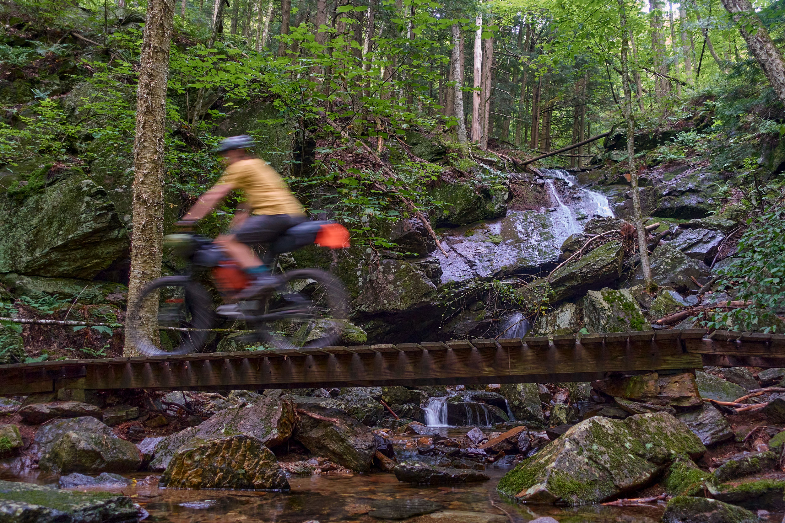
At roughly mile 14, you’ll encounter the next significant stretch of singletrack and perhaps the biggest cardio challenge of the whole trip! After all, the trail is called Perspiration for a reason (at 3.2 miles and over 1,000 feet of climbing). After soaking in the views from the vista just north of the trail’s high point, begin your fast descent down to Chittenden Brook, enjoying the rolls and rollicks as you hoot and holler your way through the lush Green Mountain National Forest. After crossing the stone-lined stream, climb briefly to the intersection with the Chitty Bang-Bang Trail. The Velomont route continues to the right. If you’re staying at the Chittenden Brook Hut or Campground, stay straight here to finish the descent. You’ll retrace your steps to this point to continue your journey the following day.
After staying straight at the trail intersection, continue a mile down the Campground Connector to arrive at your home for the night: the Chittenden Brook Hut and Campground. The ADA-accessible hut is owned and operated year-round by the Vermont Huts Association under a Special-Use Permit with the U.S. Forest Service. While the hut is accessible by car in the summer, the road closes in the winter, requiring a two-mile approach via ski or snowshoe. Enjoy the peace and quiet of one of the most remote developed campgrounds in Vermont.
Chittenden Brook Hut to Rochester
For the final leg of your journey, we’ve saved the best for last. The singletrack trails in the following section showcase some of the most impressive trail craftsmanship and stunning landscape vistas anywhere in Vermont. But like many great things, you’ve got to earn it. Buckle up for plenty of climbing as you navigate the northern section of the Heart of the Greens Loop.
After retracing your route back to the Perspiration/Chitty Bang-Bang intersection, take a left on Chitty Bang-Bang. Descend joyfully down two miles and 650 feet of elevation before connecting back to the Chittenden Brook access road. Shortly, another singletrack trail appears on the left: Ferns and Turns. This trail avoids a longer road ride and includes a gorgeous open river-valley view before descending to Route 73.
Turn right on Route 73 and cruise the wide paved shoulder until the T intersection with Bingo Brook Road on the left. Bingo Brook Road is a pleasant gravel road, bringing you past a pond alongside a babbling brook and providing your legs a brief rest, preparing for what lies ahead. For those looking to camp, a primitive dispersed camping area exists at the end of Bingo Brook Road and offers free sites along the picturesque Bingo Brook.
After about a mile on Bingo Brook Road, take a right on Flanders Hill and look for the Ridgeline Outdoor Collective Blaze pointing the way to Swan Dive, a 2.3-mile segment of glorious singletrack. Though your legs may begin to burn, the trail is well-built and provides ample opportunities to rest and admire the intricate stonework.
Swan Dive links you to the Swans Mill Trail, a backcountry doubletrack used as a Forest Service access road and snowmobiling trail in the winter. The steeper sections of this road are bypassed by singletrack trails that incorporate switchbacks to break up the grades a bit. A highlight of this section is the view looking south on Tundra Swan as you gain the apex of the ridge. Enjoy the long descent as you alternate between singletrack and well-worn logging road for the next several miles as you work your way into the Tunnel Brook drainage.
After the last segment of singletrack, you’ll join Swans Mill for the final time and cross two feeder streams of Tunnel Brook. Soon, you’ll encounter a four-way intersection and the beginning of the infamous Tunnel Ridge Trail.
This 5.5-mile trail climbs nearly 1,000 feet to the summit of Tunnel Mountain before dropping you 1,500 feet into the “100 Switchbacks” and one of the greatest descents in the Northeast. As you slowly pick your way up the backside of the ridge, through towering forest stands and over rock-cobbled stream crossings, don’t forget to stop to enjoy the view and appreciate these amazing public lands! On the ridgeline proper, this trail boasts five distinct viewpoints that were crafted to provide a unique mountain experience not often felt in the “Green Tunnel.”
After soaking in the vistas, saddle up for the fun part and enjoy an adrenaline-fueled descent back to the valley floor. Remember to keep your eyes peeled for uphill riders, as this is a multi-directional trail, and they have the right of way. At the bottom of Tunnel Ridge (once you pinch yourself to ensure that, yes, this singletrack paradise is real life), turn right at the VCR Connector to make your way through Chantrea Field with beautiful views of the village. Finish your trip pedaling up the backside of town and passing the Stable Inn. And that’s a wrap! You’ve just completed the Heart of the Greens Loop!
Looking to extend your journey and have more time to explore the miles of other trails in Rochester you have not explored yet? Consider a stay at the Stable Inn, a modern lodging option with private rooms and hostel-like accommodations and a partner of the Vermont Huts Association.
Terms of Use: As with each bikepacking route guide published on BIKEPACKING.com, should you choose to cycle this route, do so at your own risk. Prior to setting out check current local weather, conditions, and land/road closures. While riding, obey all public and private land use restrictions and rules, carry proper safety and navigational equipment, and of course, follow the #leavenotrace guidelines. The information found herein is simply a planning resource to be used as a point of inspiration in conjunction with your own due-diligence. In spite of the fact that this route, associated GPS track (GPX and maps), and all route guidelines were prepared under diligent research by the specified contributor and/or contributors, the accuracy of such and judgement of the author is not guaranteed. BIKEPACKING.com LLC, its partners, associates, and contributors are in no way liable for personal injury, damage to personal property, or any other such situation that might happen to individual riders cycling or following this route.
Further Riding and Reading
Here are some connected/nearby routes and related reports...
Please keep the conversation civil, constructive, and inclusive, or your comment will be removed.


