Ouachita Vistas Overnighter
Distance
78 Mi.
(126 KM)Days
2
% Unpaved
94%
% Singletrack
16%
% Rideable (time)
90%
Total Ascent
6,828'
(2,081 M)High Point
1,947'
(593 M)Difficulty (1-10)
6?
- 6Climbing Scale Moderate88 FT/MI (17 M/KM)
- 5Technical Difficulty Moderate
- 7Physical Demand Difficult
- 4Resupply & Logistics Fair
Contributed By
Philip Zabel
Guest Contributor
Philip grew up hiking and backpacking in the backwoods of Arkansas. His love of the outdoors led him to get a degree in geology and become an environmental consultant. Find him on Instagram @philipzabel.
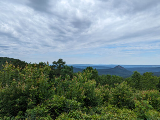
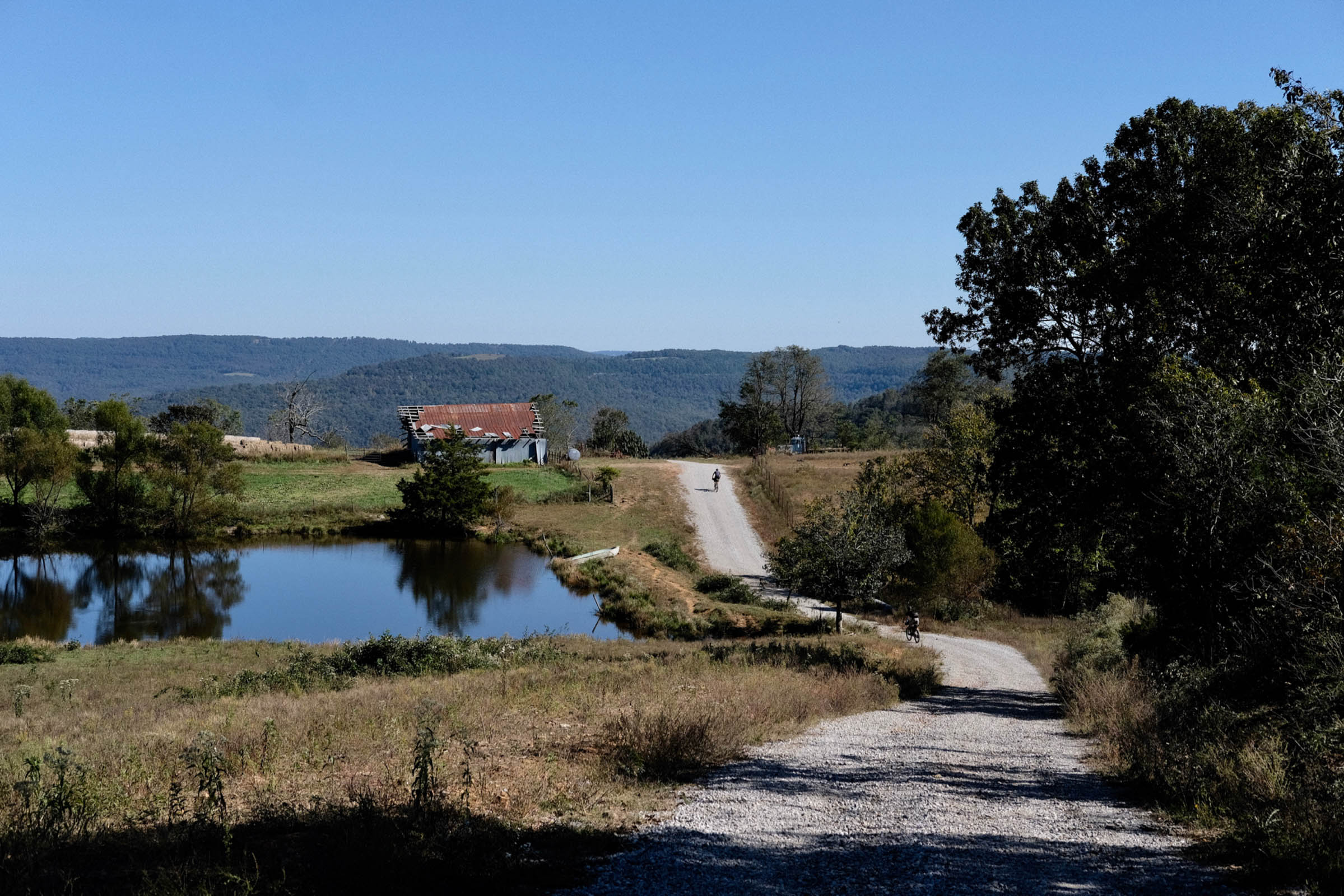
The Ouachita Vistas Overnighter showcases numerous scenic overlooks over the beautiful and rugged Ouachita Mountains. The route begins and ends at Lake Sylvia State Park, which has a small parking lot for hikers, runners, and cyclists. The forest roads west of Lake Sylvia are a popular destination for local off-road cyclists. The only resupply on the route is the Hollis Country Store, located about 1.5 miles off route on Highway 7. The store was established in the 1930s and serves a limited selection of fried sandwiches and snack food (a local favorite is the fried bologna sandwich!). After climbing up Ouachita Pinnacle, the route turns onto the singletrack of the Ouachita Trail (OT). Ouachita Pinnacle is the highest point on the route at 1,952 feet.
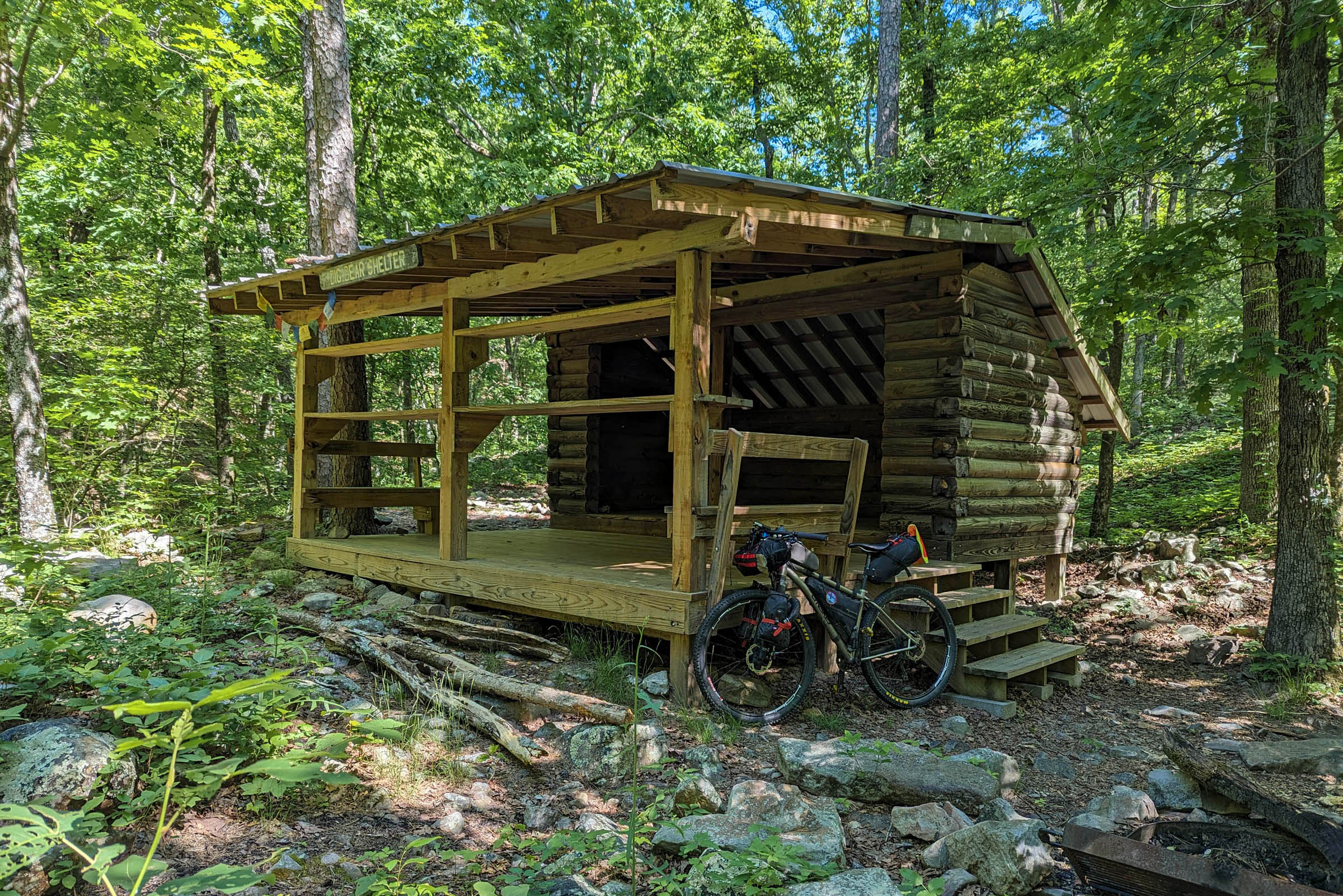
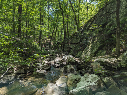
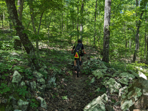
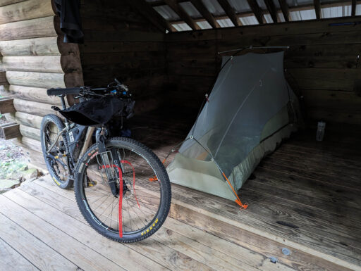
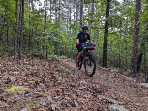
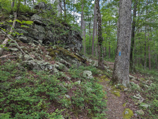
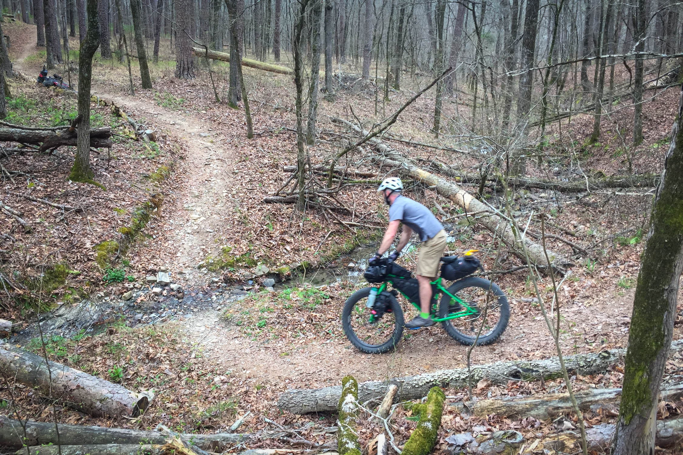
The route includes 13 miles of rugged singletrack and doubletrack along the OT, which was constructed as a backpacking trail and then later opened to cyclists with no modifications. Portions of the trail will require hike-a-bike, but you will be rewarded with sweet, flowy singletrack and the unique opportunity to overnight at one of the famed trail shelters. At about the halfway point of the route is Big Bear Shelter. This three-sided shelter is nestled in a beautiful little “holler” next to a spring-fed creek.
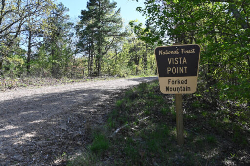
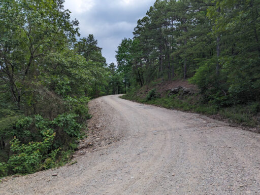
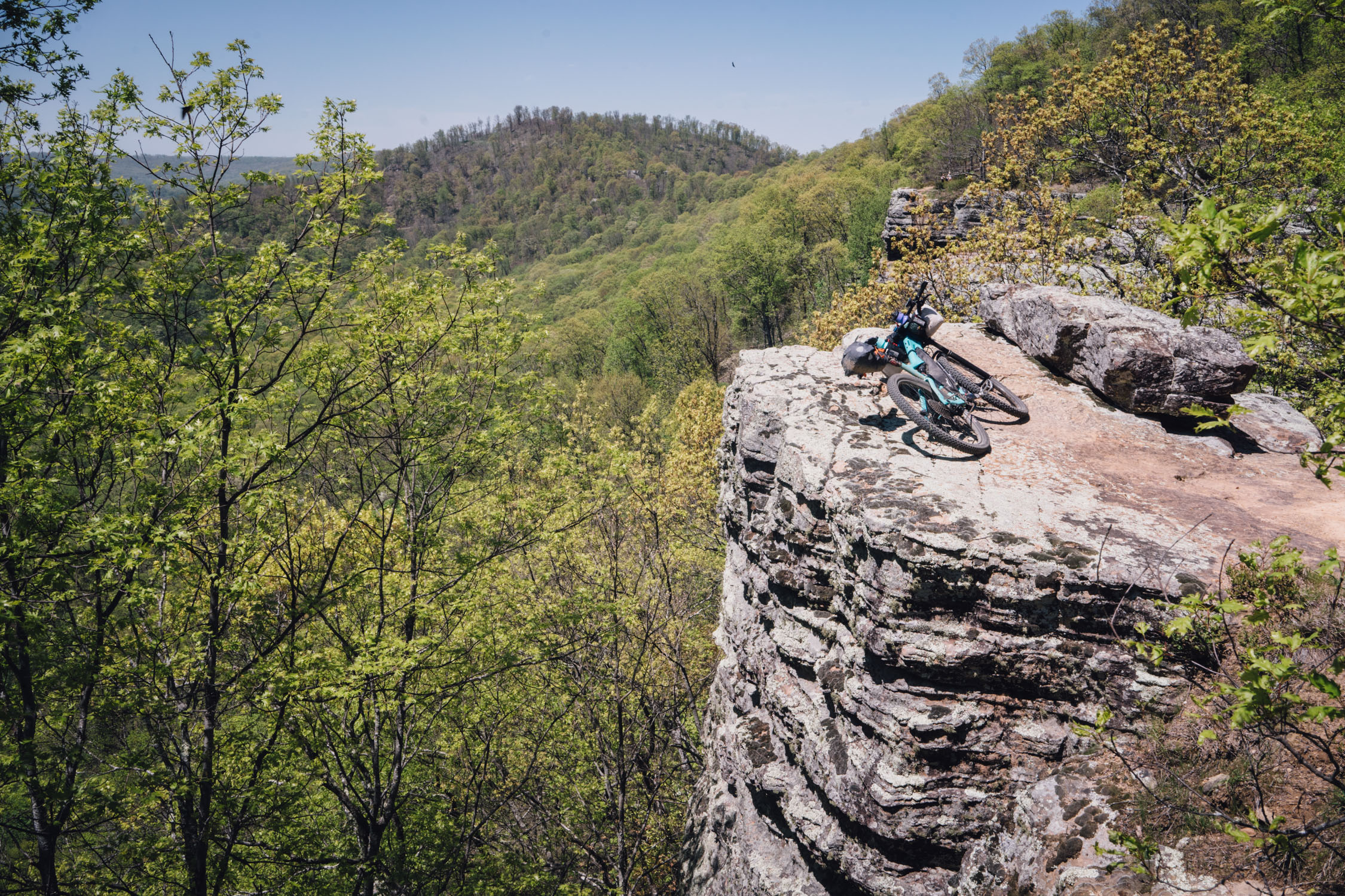
The return trip to Lake Sylvia includes four vista overlooks and follows a portion of the Lake Winona Gravel Bike Loop. The signed gravel loop was developed by the National Forest Service to showcase the variety of mountain landscapes and scenic vistas along the eastern edge of the Ouachita National Forest. After all the climbing, you’ll be rewarded at the end with 3.5 miles of mostly downhill back to Lake Sylvia, a satisfying end to a challenging journey.
Route Difficulty
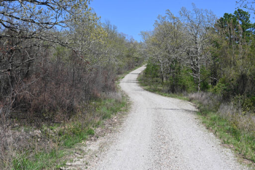
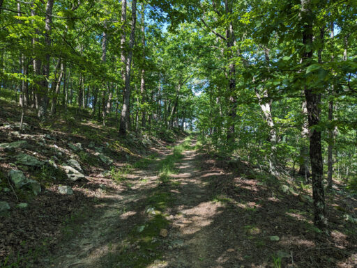
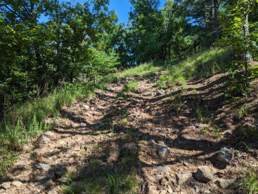
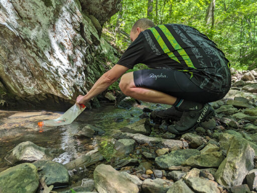
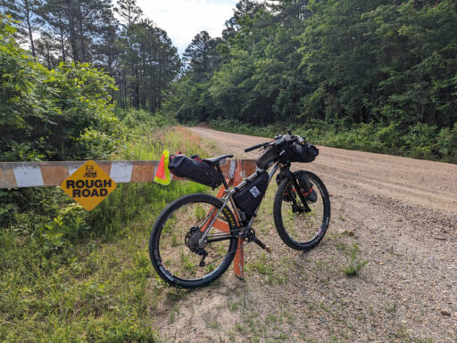
The route is a mix of smooth dirt roads, chunky gravel, super chunky double track, and rugged singletrack. It has been said that riding in Arkansas is “death by a thousand hills.” The hills aren’t long, but there are a lot of them, and some are steep! Overall, the difficulty is rated at 6 of 10 due to elevation gain and hike-a-bike sections on the OT. This route is ideal for a hardtail mountain bike and can be done on a gravel bike, but the OT section will require more hike-a-bike. If you study the map, there are ways to bypass some of the OT to make the route more gravel-bike-friendly. The gravel sections are not very technical. However, the OT was constructed for backpacking and you will encounter many steep hike-a-bike sections, stairs, narrow spaced trees and boulder-filled creek crossings. The gravel sections are physically demanding due to the elevation gain. Pushing up the steep terrain of the OT is difficult, so wear cycling shoes you can walk in. The Hollis Country Store is the only resupply near the route. However, most of the route has filterable water from creeks and rivers. Cell phone service is very spotty on the route.
Route Development: This route was developed to combine the scenic dirt roads of the Ouachita Mountains with a little dose of singletrack and a stay in one of the OT’s famed trail shelters.
 This route is part of the Local Overnighter Project, which was created to expand our growing list of worldwide bikepacking routes—the first and largest of its kind—and create an independent map and catalog of great bikepacking overnighters, curated by you, from your own backyard. Our goal is to have accessible routes from every town and city in the world. Learn More
Submit Route Alert
As the leading creator and publisher of bikepacking routes, BIKEPACKING.com endeavors to maintain, improve, and advocate for our growing network of bikepacking routes all over the world. As such, our editorial team, route creators, and Route Stewards serve as mediators for route improvements and opportunities for connectivity, conservation, and community growth around these routes. To facilitate these efforts, we rely on our Bikepacking Collective and the greater bikepacking community to call attention to critical issues and opportunities that are discovered while riding these routes. If you have a vital issue or opportunity regarding this route that pertains to one of the subjects below, please let us know:
Highlights
Must Know
Camping
Food/H2O
Trail Notes
Resources
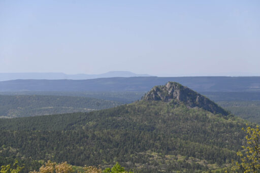
- The route showcases vistas of Forked Mountain, Lake Ouachita, Oak Mountain, and Lake Winona.
- Hollis Country Store. Established in the 1930s, this quaint country store is the only resupply on the route. Fried bologna sandwich, anyone!?
- Enjoy a ride on the secluded and rugged OT.
- The opportunity to stay in one of the free OT shelters. The Big Bear Shelter is in a beautiful holler at the halfway point of the route.
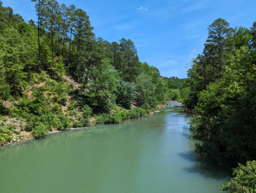
- Cool off in one the many clear mountain creeks.
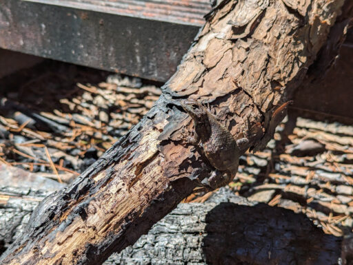
- Be on the lookout for area wildlife including deer, turkey, black bear, and bobcat.
- Phone service is very spotty, so just turn it off and enjoy the Arkansas backcountry.
- This route adjoins the Ouachita Triple Crown bikepacking route.
- The best times to ride this route are in fall, winter, and early spring (October to May). Summer in Arkansas is very hot and humid. Snakes, ticks, mosquitos, and spiders are plentiful in the summer months.
- The Ouachitas are home to black bear, wild hogs, and racoons. Wildlife is rarely a problem. However, it’s best to do your cooking and eating away from camp and hang food at night.
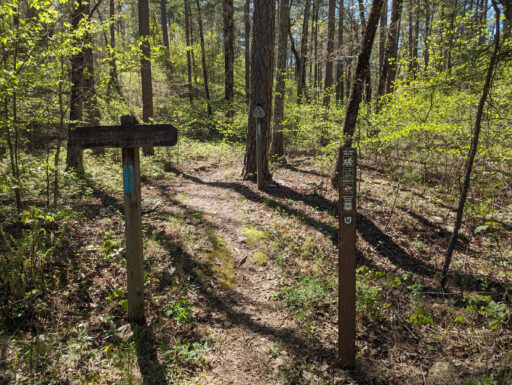
- The OT was built as a backpacking trail. You will encounter stairs, rock dams, and boulder filled creek crossings. Trees may not be spaced wide enough for mountain bike handlebars in a few locations. The trail is marked with blue paint.
- No bikes are allowed on the OT east of Highway 7.
- Phone service is very limited.
- The Ouachita National Forest is a popular hunting destination. Check hunting seasons with the Arkansas Game and Fish Commission. Some seasons may require hunter orange for anyone in the woods.
- Use caution on the two miles of the route that are on Highway 7.
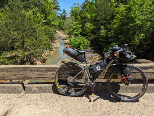
- Spring can be very wet in Arkansas. Use caution when crossing creeks with low water bridges.
- Dispersed camping is allowed in the Ouachita National Forest. Established campgrounds are marked. Portions of the route traverse private land. The private land is usually marked by signs or purple paint. Camping is not allowed on private land.
- The free OT Shelters are first come, first served. You may be sharing the shelter. Tents are allowed near the shelters.
- Camping at the Bear Creek Horse Camp (free) and South Fourche Campground ($5) are first come, first served. The campgrounds have pit toilets and fire rings.
- Hollis Country Store is the only resupply. However, the store has limited hours.
- Green Thumb Spring is the only dependable water source east of Highway 7 on the southern portion of the route. The spring is on the Ouachita Trial, so leave your bike by the road.
- Late summer and fall in Arkansas can be very dry. The marked water locations generally have water year-round. During wet times of the year, filterable water is plentiful.
Day 1 (44 miles)
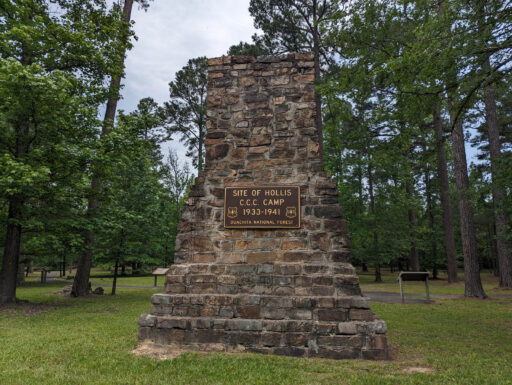
We recommend riding the route counterclockwise to minimize climbing on the OT. The route starts at Lake Sylvia State Park, which has a small free parking lot. After a short paved section, the route turns onto Brown Creek Road. You will see and hear Brown Creek for the next few miles before climbing up to the foot of Flatside Pinnacle. If you feel like more climbing, you can take a short detour up to Flatside Pinnacle where there is a hiking trail up to the top. At about mile 13, you will glimpse Forked Mountain peeking through the pines. After some closer views of Forked Mountain, you come to Highway 7. The Hollis Country Store and South Fourche Campground are located about 1.5 miles off-route to the north on Highway 7. From Highway 7, the route proceeds south and passes by the Hollis Civilian Conservation Corp Camp historic site. After passing the Bear Creek Horse Camp and crossing North Creek, you begin a long climb up to Ouachita Pinnacle, where the route turns onto the OT. Be sure to check out the view of Lake Ouachita from the top. The Big Bear Shelter is about 4 miles down the OT on the left. Watch for the wood “Shelter” sign.
Day 2 (34 miles)
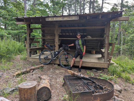
The next 9 miles of the route will be on the OT, passing Scooters Point Overlook and the Moonshine Shelter. The Highway 7 trailhead and parking lot is at mile 55. The next 23 miles follow the northern half of the signed Lake Winona Gravel Bike Loop. There are four vista overlooks between Highway 7 and Lake Sylvia. After all the climbing, you will be rewarded at the end with 3.5 miles of mostly downhill back to Lake Sylvia.
Additional Resources
Terms of Use: As with each bikepacking route guide published on BIKEPACKING.com, should you choose to cycle this route, do so at your own risk. Prior to setting out check current local weather, conditions, and land/road closures. While riding, obey all public and private land use restrictions and rules, carry proper safety and navigational equipment, and of course, follow the #leavenotrace guidelines. The information found herein is simply a planning resource to be used as a point of inspiration in conjunction with your own due-diligence. In spite of the fact that this route, associated GPS track (GPX and maps), and all route guidelines were prepared under diligent research by the specified contributor and/or contributors, the accuracy of such and judgement of the author is not guaranteed. BIKEPACKING.com LLC, its partners, associates, and contributors are in no way liable for personal injury, damage to personal property, or any other such situation that might happen to individual riders cycling or following this route.
Further Riding and Reading
Here are some connected/nearby routes and related reports...
Please keep the conversation civil, constructive, and inclusive, or your comment will be removed.


