Ring Around The Ritas (RATR)
Distance
92 Mi.
(148 KM)Days
3
% Unpaved
90%
% Singletrack
19%
% Rideable (time)
85%
Total Ascent
11,127'
(3,392 M)High Point
7,064'
(2,153 M)Difficulty (1-10)
7?
- 8Climbing Scale Strenuous121 FT/MI (23 M/KM)
- 8Technical Difficulty Difficult
- 8Physical Demand Difficult
- 5Resupply & Logistics Moderate
Contributed By
Eszter Horanyi
EZ Gone Coddiwompling
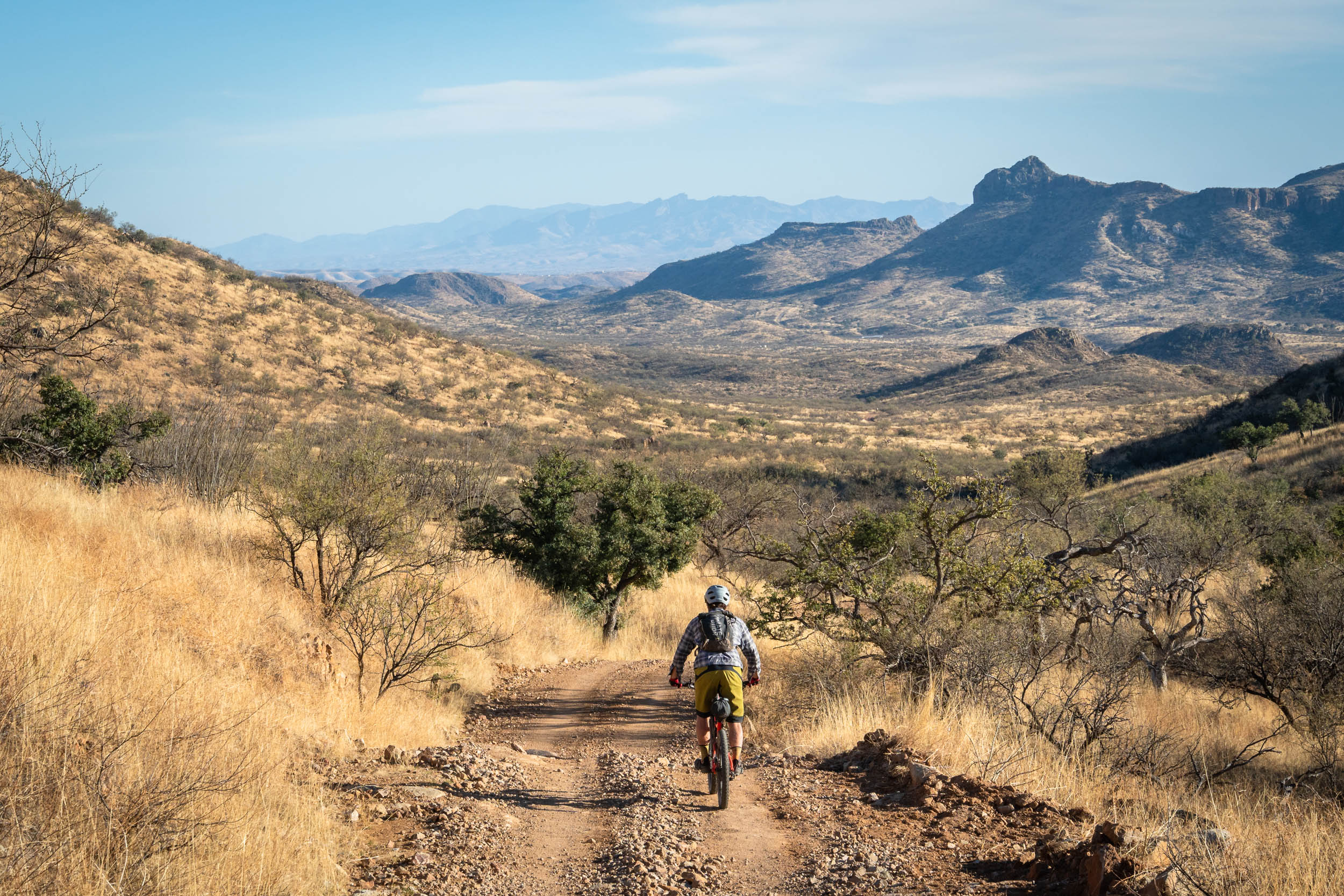
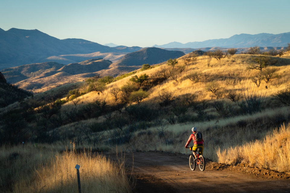
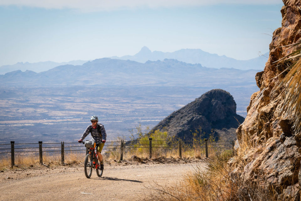
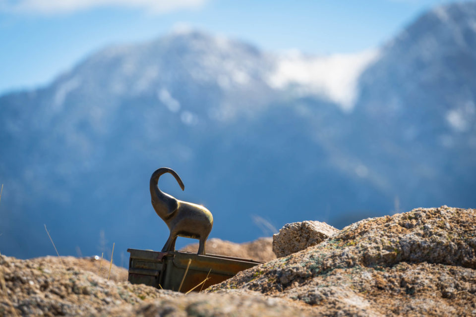
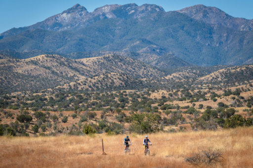
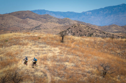
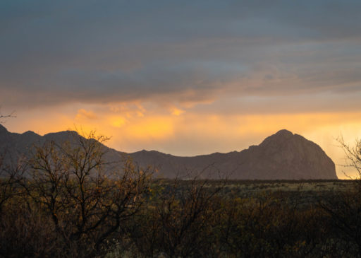
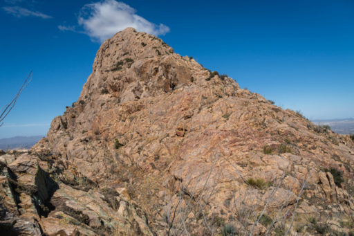
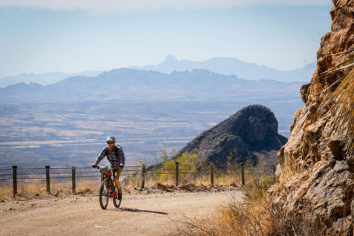
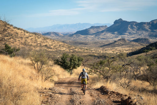
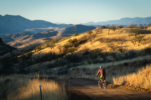
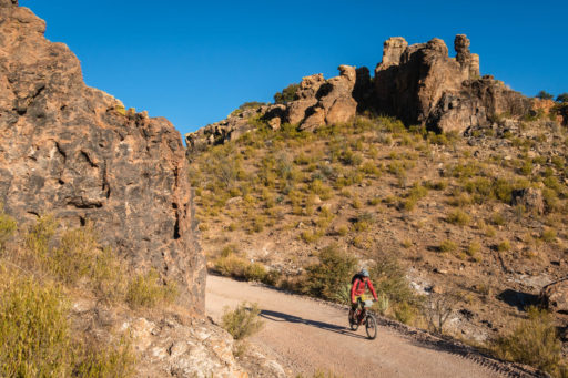
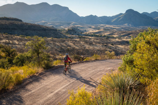
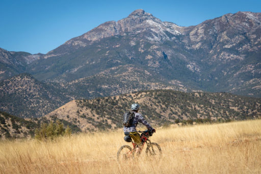
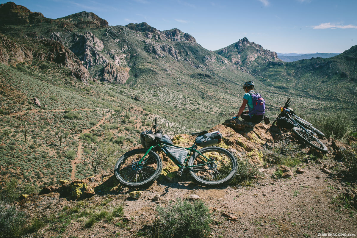
The Ring Around The Ritas is a trail-heavy loop around the Santa Rita Mountain sky island that showcases an array of landscapes using a variety of surface types and provides an off-the-beaten-path option for those looking for an ATB challenge. Much of this loop is based off of the old Ring Around Ritas ride which used the old Arizona Trail Race route from the time before the Gila Canyons section of the trail was built. It has been expanded to the north with a descent down the stunning Sycamore Canyon and is linked together with some of the most fun Arizona Trail in the southern part of the state. Also included is a climb up towards the Hopkins Observatory and a descent down Tia Juana ridge. The views from the top will make the downhill hike-a-bike worth it. While there are many miles of nice gravel roads on this route, sturdy tires and suspension will make the trail sections much more enjoyable. A side hike up to the stunning Elephant Head peak is a worthy endeavor with entertaining scrambling and expansive views (see map in Trail Notes).
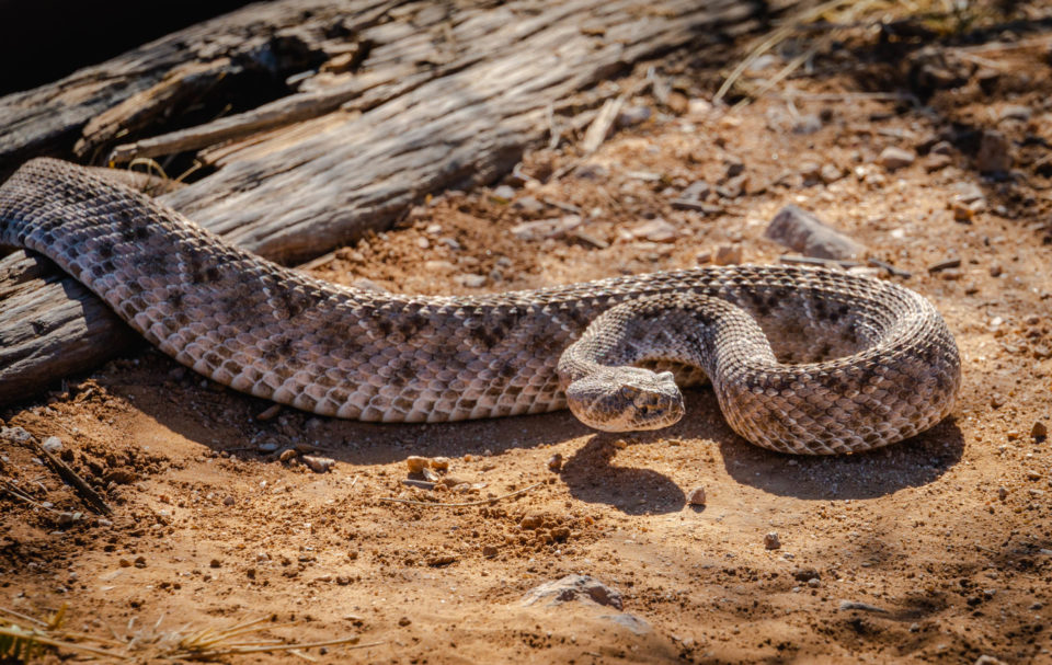
The Santa Ritas are home to many bird rarities, and birding enthusiasts flock to both Madera Canyon and Patagonia to see many species that are otherwise only found outside of the US. While riding, keep an eye out for golden eagles, red tailed hawks, turkey vultures, and other raptors. The Paton Center for Hummingbirds is on route in Patagonia and is worth a stop to see unique rarities such as the violet crowned hummingbird. Along the route, keep an eye out for larger desert wildlife, such as coatis, javelinas, and snakes.
If starting the route at the Proctor trailhead at the base of Madera Canyon, the town of Patagonia provides a convenient resupply mid-way through. This small town has become a hub for gravel cycling in recent years and has several good food options.
Route Difficulty
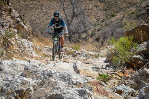
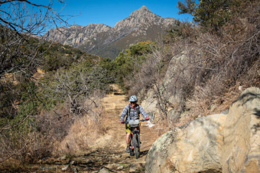
The route is not for the faint of heart. The trails are rocky and difficult, and many of the road climbs and descents are rough and loose. This is not a gravel bike-friendly route. The 30 miles from the Proctor Trailhead to the bottom of Tia Juana ridge will most likely be slower than expected, with a lot of climbing, a fair bit of hike-a-bike. Long sleeves are recommended for a few sections overgrown with catclaw.
This route has a lot of difficult climbing and not many easy miles. Getting to either Patagonia or the Proctor trailhead is an easy drive from Tucson. There is convenient camping off of Proctor Road that can be accessed with cars with reasonable clearance. Considering the route is in southern Arizona, there are a good number of water sources, both wild water and spigots.
Route Development: The western part of this route was made “popular” when it was included in the first years of the Arizona Trail Race organized by Scott Morris. Racers would ride up Salero Canyon from Patagonia, over Bull Run road to the Elephant Head trail, and then climb up Box Canyon to rejoin the AZT. The northern part of this route down Sycamore Canyon was brought to my attention by Andrew and Katie Strempke who described it as “cool”. The Arizona Trail in the area is constantly being built and improved by the Arizona Trail Association. The Patagonia Rail Trail is lovingly maintained by Patagonia locals and provides a great alternative to riding the highway north of town.
Submit Route Alert
As the leading creator and publisher of bikepacking routes, BIKEPACKING.com endeavors to maintain, improve, and advocate for our growing network of bikepacking routes all over the world. As such, our editorial team, route creators, and Route Stewards serve as mediators for route improvements and opportunities for connectivity, conservation, and community growth around these routes. To facilitate these efforts, we rely on our Bikepacking Collective and the greater bikepacking community to call attention to critical issues and opportunities that are discovered while riding these routes. If you have a vital issue or opportunity regarding this route that pertains to one of the subjects below, please let us know:
Highlights
Must Know
Camping
Food/H2O
Trail Notes
- Elephant Head Trail and Peak
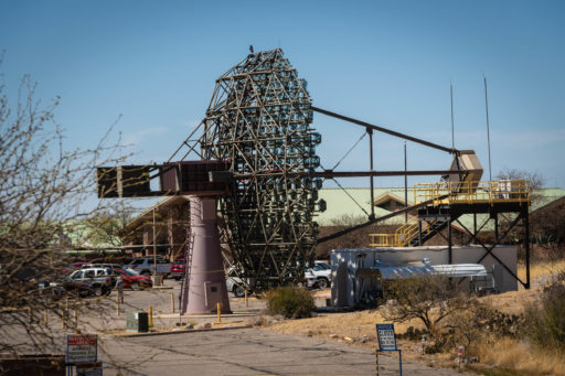
- Whipple Observatory
- Paton Center for Hummingbirds
- Tia Juana Ridge
- Patagonia food options, including the Patagona Lumber Company and Gathering Grounds
- Sycamore Canyon
- For best conditions, spring is the best time to ride this loop. March and April can strike a good balance between heat and daylight. Snow can persist on Tia Juana ridge throughout the winter. Expect warm days and chilly nights during this period of the year. Fall can also provide good weather, but the trails are often overgrown after the summer monsoon season.
- Logistics: The loop is best started either at the Proctor trailhead at the base of Madera Canyon if you want a resupply, or in the town of Patagonia. The Proctor trailhead is easily reached from the town of Green Valley and is a reasonably safe place to leave a vehicle.
- Some of this route is on State Trust Land. You’ll need to purchase a permit online and have a copy of it with you.Get that here.
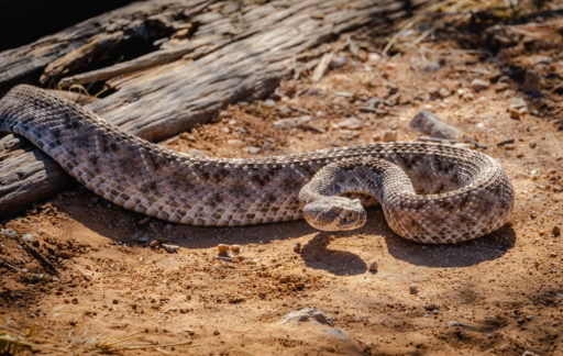
- Dangers: Rattlesnakes make their home in the area and start to become active in early March. It’s a good idea to always watch where you’re riding. More than half of all rattlesnake bites are due to humans harassing the snake. Be smart and aware and you’ll (most likely) be fine.
- The area is littered with signs warning of illegal human and traffic smuggling in the area, and you’re likely to run into a border patrol agent at some point of time. My personal experience is that this is at the bottom of my list of worries when bikepacking in the area.
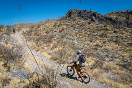
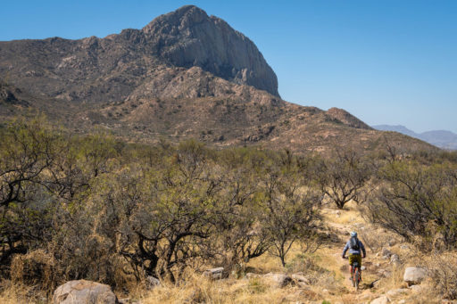
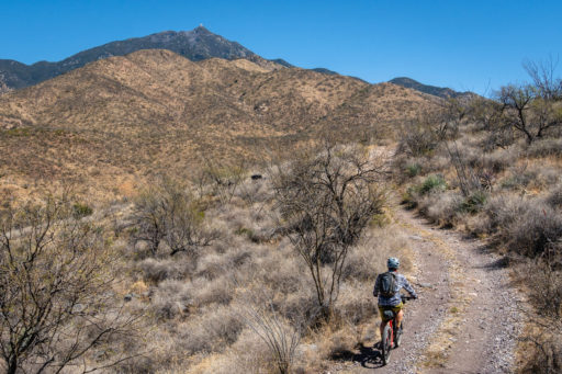
- Rideability. The west side of this route, namely Elephant Head Trail and Tia Juana Ridge, consists of a lot of chunky riding on backcountry roads and trails. Most riders will be on and off their bikes frequently through this stretch. Once in Josephine Canyon, the rest of the loop is much more rideable, but still on challenging terrain. This is not a gravel bike friendly route.
- There are several great options for camping along the route.
- The whole of the Arizona Trail provides ample opportunities to camp.
- You’ll pass through the private Rosemont Ranch on the way to Sycamore Canyon where camping is not allowed. It’s best to get down to the base of Sycamore before starting to look for camping options again.
- Camping on the Hopkins Road and Tia Juana ridge is not recommended.
- Once in Josephine Canyon or Salero Road, there are several nice campsites along the road.
- Salero Road passes in and out of private land, and the last camping option is about 6 miles outside of Patagonia
Water Sources
- Proctor Trailhead – A spigot is available behind the entrance station/information center.
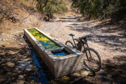
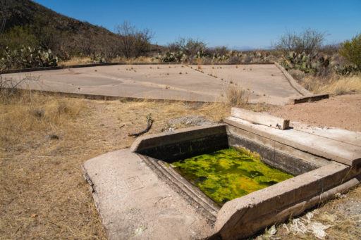
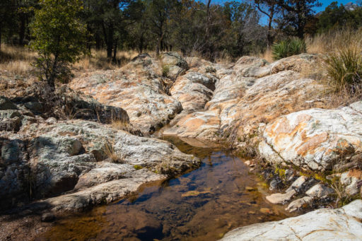
- Wildlife guzzler – Very green water available at the end of the Elephant Head singletrack. May be dry after long dry spells.
- Whipple Observatory picnic area – Water available in bathrooms if the outside water fountain is turned off.
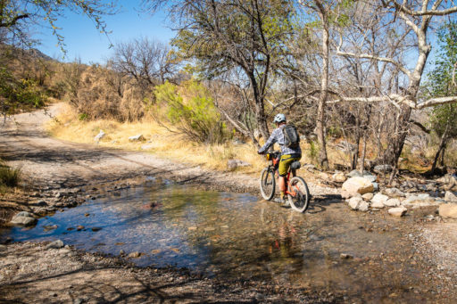
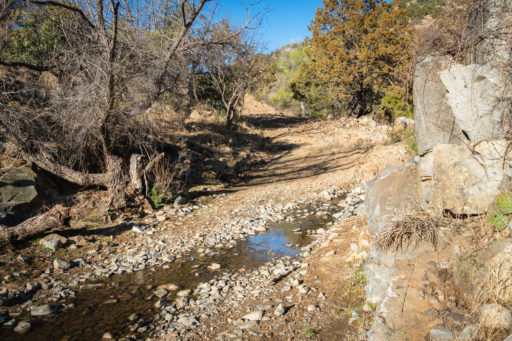
- Josephine Canyon – Running water available just below the road at the base of Tia Juana Ridge. The road also crosses the creek lower down.
- Gardner Canyon – Reliable water both at road crossing and AZT crossing.
- Kentucky Camp – Two spigots on property
- Rosemont Junction Cow Tank – Green cow water in a tank on the side of the road.
- Heurfano Butte Cow Tank – Fenced off tank
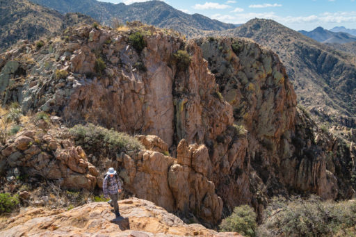
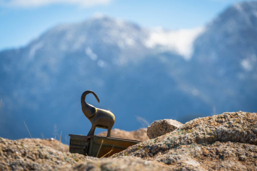
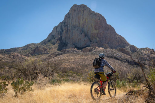
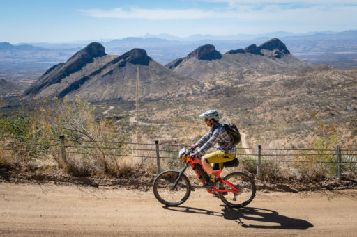
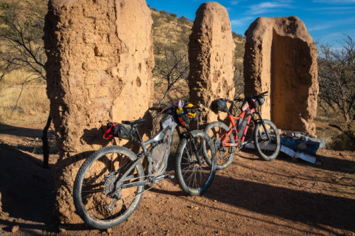
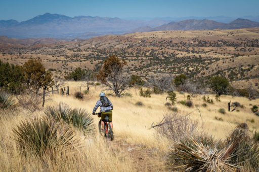
- Proctor Road and Elephant Head Trail. Before the modern era of mountain biking, the Elephant Head Trail was considered a bike-specific trail. It is now moderately overgrown and has several challenging sections as it circumnavigates the stunning Elephant Head Peak. Expect some hike-a-bike throughout this trail. The side scramble up the peak is well worth the time. Slippery bike shoes may not be the best option, but something equipped for normal hike-a-bike should be enough. You’ll be able to ride to the Wilderness Boundary before having to revert to foot travel.
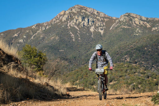
- Hopkins Observatory to Tia Juana Ridge. The road up towards the Hopkins Observatory is smooth, firm, and completely rideable. The views of Mt Wrightson at the turn to Tia Juana ridge are beautiful. Even the best riders will end up hiking down large parts of Tia Juana Ridge, but the road gets progressively better the lower you go. Rest assured, the alternative to this up-and-over has plenty of slow riding, climbing, and uphill hike-a-bike. Once you get into Josephine Canyon, it’s smooth riding all the way to Patagonia. As you’re entering town, pay a visit to the Paton Center for Hummingbirds.
- Patagonia Rail Trail. This singletrack starts in town and takes you out to the AZT crossing of Highway 83. When the new AZT is finished, riders will be able to stay off the highway entirely, but for now, you’ll ride four miles north on a fairly quiet road with a wide shoulder to Hog Canyon. There is a private land easement through Hog Canyon, be sure to sign in at the start and not camp until back on Forest land.
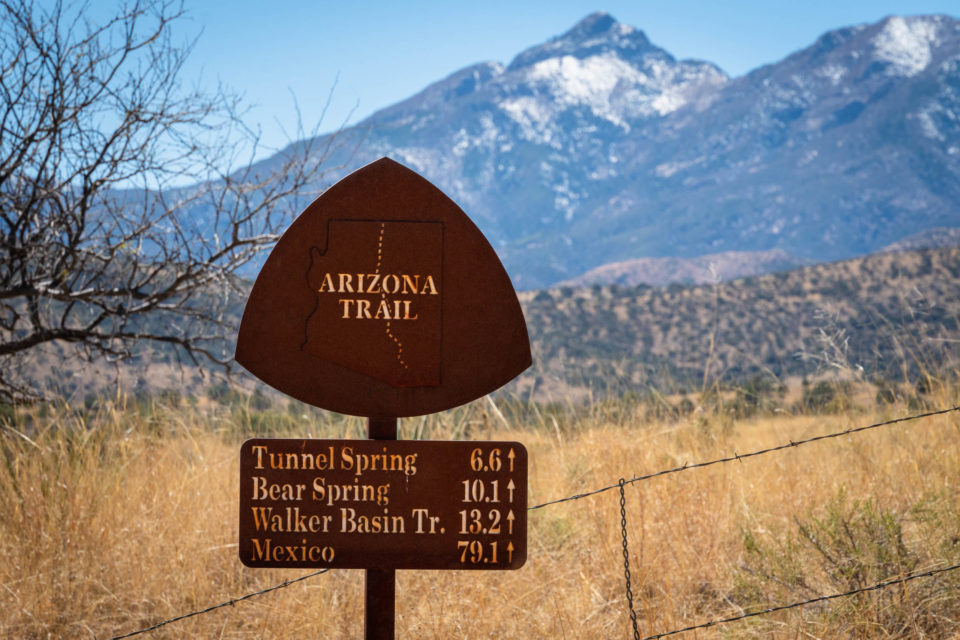
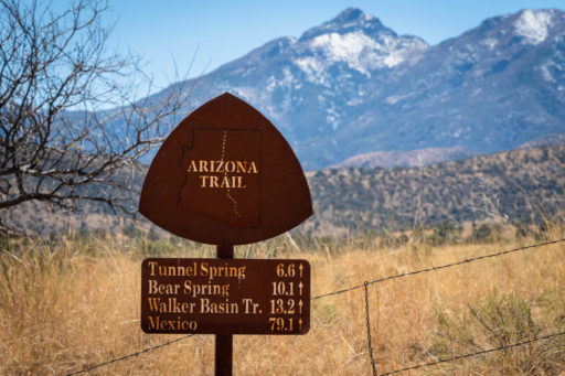
- AZT. After climbing Hog Canyon to join the AZT, enjoy a well-balanced mix of trail and dirt roads to Kentucky Camp and beyond. Most of this is rideable. If you need to cut your ride short, you can drop back to the western side of the Santa Ritas on Box Canyon Road.
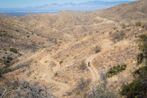
- Lopez Pass and Sycamore Canyon. After departing the AZT at Rosemont Junction, you’ll travel through the Rosemont Ranch and climb towards Lopez Pass. Follow signs towards Sycamore Canyon to a pass below the mine workings of the Rosemont Mine. The descent down Sycamore is variable, with sections of smooth dirt, sandy wash riding, and loose and chunky rocks. The views towards Tucson are outstanding. At the bottom, you’ll pass by an abandoned ranch. Stay to the left of the buildings and on public land.
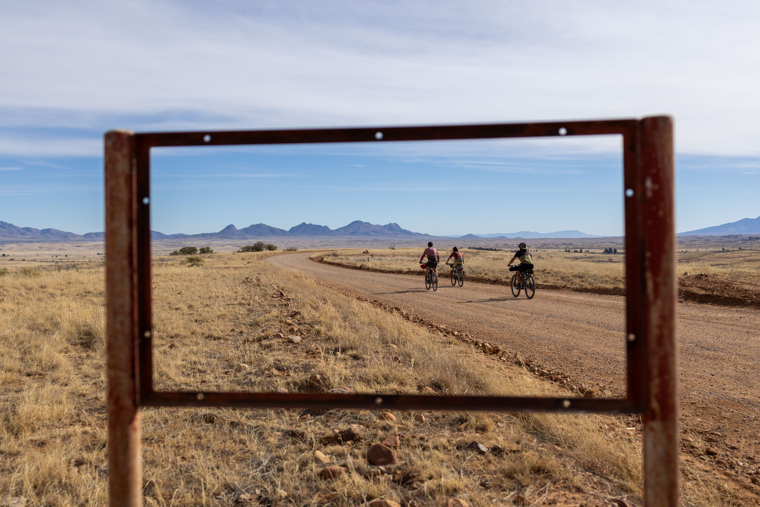
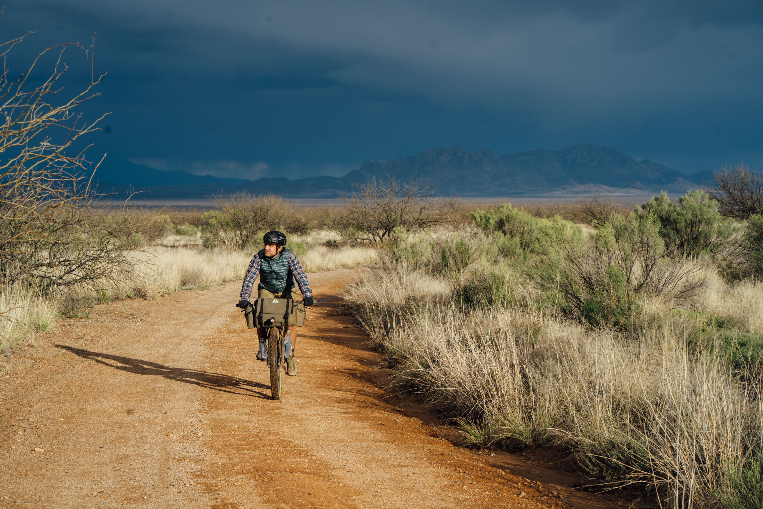
- Santa Rita Experimental Range. The difficulties of the route are done once down Sycamore Canyon. Enjoy smooth, if sometimes sandy, dirt roads to intersect Madera Canyon Road. Here, you will have to pay the piper and climb about 3.5 miles on pavement back to Proctor Trailhead. Most of the traffic on the road is made up of birders and hikers, and most people are considerate.
Elephant Head Hike
Terms of Use: As with each bikepacking route guide published on BIKEPACKING.com, should you choose to cycle this route, do so at your own risk. Prior to setting out check current local weather, conditions, and land/road closures. While riding, obey all public and private land use restrictions and rules, carry proper safety and navigational equipment, and of course, follow the #leavenotrace guidelines. The information found herein is simply a planning resource to be used as a point of inspiration in conjunction with your own due-diligence. In spite of the fact that this route, associated GPS track (GPX and maps), and all route guidelines were prepared under diligent research by the specified contributor and/or contributors, the accuracy of such and judgement of the author is not guaranteed. BIKEPACKING.com LLC, its partners, associates, and contributors are in no way liable for personal injury, damage to personal property, or any other such situation that might happen to individual riders cycling or following this route.
Further Riding and Reading
Here are some connected/nearby routes and related reports...
Please keep the conversation civil, constructive, and inclusive, or your comment will be removed.


