Pitkin Passage
Distance
70 Mi.
(113 KM)Days
3
% Unpaved
100%
% Singletrack
24%
% Rideable (time)
85%
Total Ascent
10,317'
(3,145 M)High Point
12,583'
(3,835 M)Difficulty (1-10)
8?
- 9Climbing Scale Very Strenuous147 FT/MI (28 M/KM)
- 8Technical Difficulty Difficult
- 9Physical Demand Very Difficult
- 6Resupply & Logistics Moderate

Contributed By
Neil Beltchenko
Associate Editor & YouTube Host
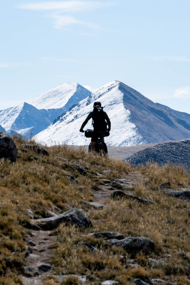
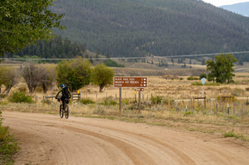
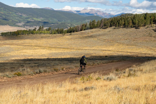
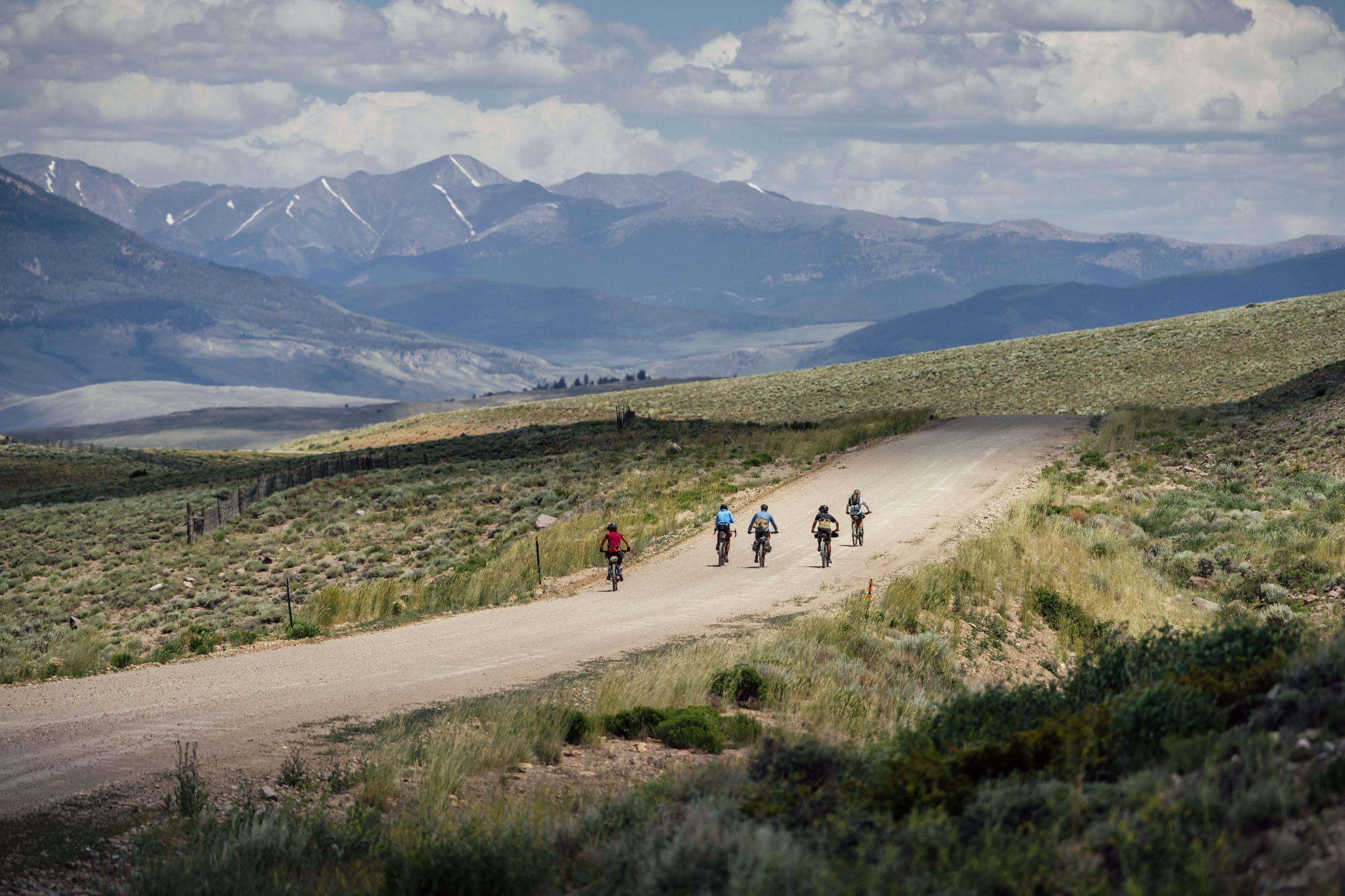
This 100-percent dirt route follows dirt roads and singletrack trails out of Pitkin, Colorado, a small mountain town at the base of the Sawatch Range, just 30 minutes from the hub of Gunnison. It reaches elevations of over 12,000 feet multiple times and features rough, rocky roads that make you earn the miles. Once you get up to the alpine, you’ll have striking views of 12,000, 13,000, and 14,000-foot peaks, expansive valleys, wildlife, and a whole lot of solitude.
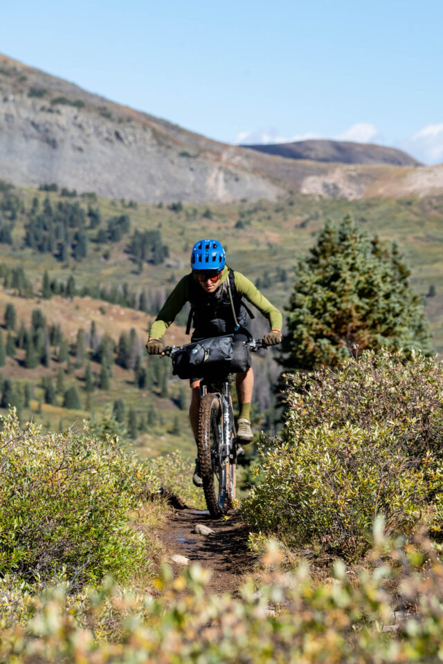
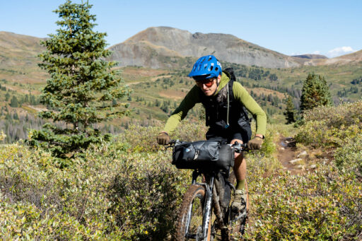
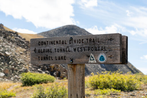
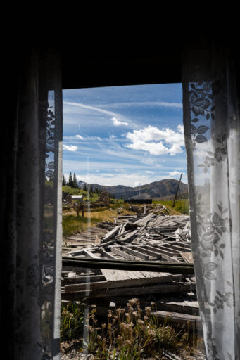
The passes range in difficulty from steep, rugged, and rocky climbs to smooth, graded, and manageable roads and tracks. Some, like Tin Cup and Tomichi Pass, rise well above the tree line, while others, like Black Sage and Waunita Pass, are covered in sagebrush and trees. The faint singletrack on Tunnel Lakes Trail highlights just a small stretch of the stunning but challenging Continental Divide Trail. It passes some beautiful high alpine lakes and the site of the old Alpine Tunnel, a historic narrow-gauge railroad tunnel built in the 1880s, serving as a critical transportation route through the Continental Divide until its closure in 1910. At 11,500 feet, it’s fascinating to witness what they built up there and what still remains.
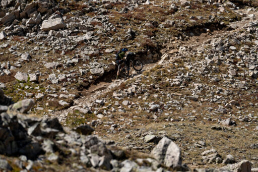
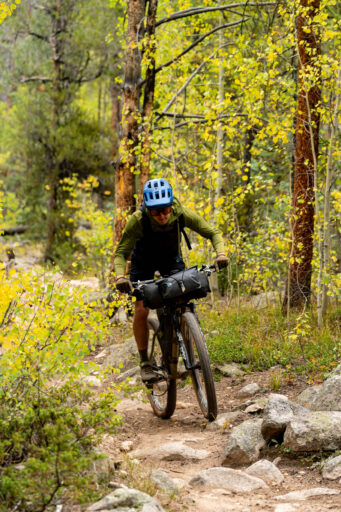
One of the route’s highlights is the Canyon Creek descent. Like any route with 10,000 feet of climbing over 70 miles, you need to climb to get to the good stuff, and often that means hiking with your bike over big boulders. But it’s all worth it for the grin-inducing, 10-mile singletrack descent that ticks off over 3,000 feet from the alpine all the way down to soft, loamy dirt that weaves through aspen, pine, and spruce forests.
Route Difficulty
As you might have guessed by now, this is not a beginner route. While it’s only 70 miles over three days, those three days aren’t easy by any stretch of the imagination. Between the altitude, hiking with your bike, climbing over 10,000 feet, and dealing with the elements, it’s a route that shouldn’t be taken lightly. That being said, resupply, if timed right in Tin Cup, is a nice bonus, and water shouldn’t be a major concern. There are loads of camping spots and plenty of time for your legs to rest on the descents.
Route Development: I’ve been exploring these trails for the last two decades, and this is just one of many loops you can connect in the area. The larger Sage and Saddles Route I developed uses some of this route, but I wanted to create a weekend ride that offers a high alpine experience with lots of climbing, stunning views, historical significance, singletrack, and fun descents. You get all of that and more with this route. That being said, I urge everyone to peek at the map in this area—there are plenty of alternatives!
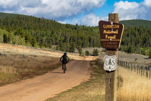
 Gunnison County has some of the most captivating landscapes in Colorado, ranging from rolling sagebrush hills to stunning high alpine ranges. And since it contains 36% of the Forest Service roads in the state and more than 750 miles of singletrack, it’s a bikepacker’s nirvana. Learn more about the area and find a growing map of routes at the Gunnison Bikepacking Route Network.
Submit Route Alert
As the leading creator and publisher of bikepacking routes, BIKEPACKING.com endeavors to maintain, improve, and advocate for our growing network of bikepacking routes all over the world. As such, our editorial team, route creators, and Route Stewards serve as mediators for route improvements and opportunities for connectivity, conservation, and community growth around these routes. To facilitate these efforts, we rely on our Bikepacking Collective and the greater bikepacking community to call attention to critical issues and opportunities that are discovered while riding these routes. If you have a vital issue or opportunity regarding this route that pertains to one of the subjects below, please let us know:
Highlights
Must Know
Camping
Food/H2O
Trail Notes
- Six mountain passes all offer unique views and challenges
- Tincup and Tomichi Pass areas are incredibly scenic
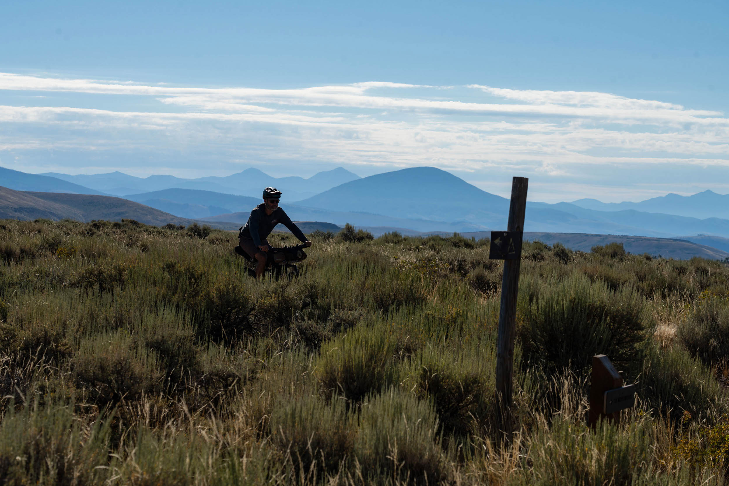
- Tunnel Lakes Trail is a quiet singletrack escape from the 4×4 roads
- Canyon Creek Trail is a challenging climb but super fun descent
- Bring your hiking shoes as there is plenty of hike-a-bike
- The Sawatch Range is a beautiful setting for a bikepacking trip
- Keep an eye out for wildlife; there is plenty of it
- Enjoy summer wildflowers and golden aspens in the fall
- Massive peaks on display and sweeping vistas of the big terrain
- The entire route is over 8,900 feet
- Loads of camping options
- The best time to ride is from late June to early October.
- Please be prepared for high-elevation storms.
- Nighttime temps can dip below freezing during the summer.
- Expect your feet to get wet with small creek and river crossings.
- This is a high-elevation route; if you’re coming from sea level and not used to being at higher altitudes, please consider hanging out in Gunnison for a few days prior to your trip.
- Pitkin is a four-hour drive from Denver, a six-hour drive from Albuquerque, and a nine-hour drive from Salt Lake City.
- We started just north of town and parked our car in that large dirt lot, but there are a few other spots in town to park.
- Gunnison to Pitkin is a 30-minute drive.
- There is ample primitive camping and designated paid camping along the route. However, be aware that many mining claims are private property.
- Cumberland Pass is filled with private land, but once you get up to Tin Cup Pass (and especially over it), you will find numerous primitive camping spots.
- There are also plenty of small spots off Tunnel Lakes Trail and near the Alpine Tunnel.
- Snowblind Campground is another paid spot, but primitive camping is available just past that on Black Sage and Waunita Passes.
- Pitkin has basic provisions with Stumbling Moose and Silver Plume General Store.
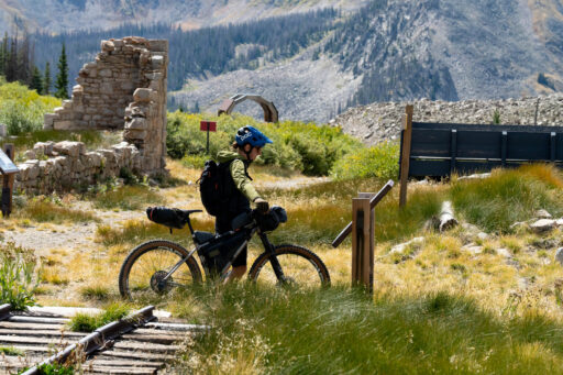
- Tin Cup also has a general store and Frenchies Restaurant, but they close the day after Labor Day.
- Creek, rivers, and ponds are abundant. Bring a filter, as cows roam this land.
location Pitkin, CO-Tunnel Lakes Trail
Day 1 (27.7 mi +4,737 ft)
Starting out of Pitkin, you will head up Cumberland Pass, a 12,000-foot pass that is relatively easy. It’s well-graded and smooth for the most part. Once you reach the top, you will enjoy a super fast and beautiful descent overlooking Taylor Park, all the way down to Tin Cup, an old mining village that is bustling in June, July, and August. After Tin Cup, you’ll start the long climb up Tin Cup Pass, another 12,000-footer. This pass is rougher around the edges with a steeper and rockier climb overall, and the descent is the same way. From here, you will pass a variety of camping options before the intersection with Tunnel Lakes Trail, which is the first stretch of singletrack on the route.
location Tunnel Lakes Trail-Black Sage Pass
Day 2 (27.3 mi +4,096 ft)
While you could certainly make an alternative route around the singletrack, you won’t be disappointed if you stick with the route as planned. It offers more solitude, stunning views, and a small ribbon of singletrack guiding your way all the way to the Alpine Tunnel location.
Once you descend down to the Alpine Tunnel site, you will find interpretive signage and plenty to see, so make sure to give yourself an hour or so to check it out. It’s pretty amazing. From there, you will drop down a little before you hit Hancock Pass, then continue to climb back up toward Tomichi Pass. If you are just doing an overnighter, you can bomb down to Pitkin, but if you are planning another night out, you have some stout climbing ahead.
Upon reaching the top of Tomichi Pass, you’ll have a very short descent down to the Canyon Creek Trail, where you’ll potentially find yourself walking the entirety of the climb. But it’s all worth it for a grin-inducing 10-mile, 3,000-foot singletrack descent. This is one of my favorite trails in Colorado, and if you like rough, rocky, and steep singletrack, you will love this descent. Again, this singletrack is avoidable, but you would miss out on some glorious mountain biking if you skip it.
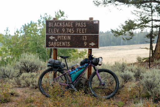
Once you finally hit the bottom of the trail, you will intersect County Road 888 and Snowblind Campground, which has water, a pit toilet, and general camping amenities. And would be a great spot to call it on day two. But if you are feeling good, The route will take you down that road until you reach the base of Black Sage Pass Road, where you start climbing again. There are a few pull-offs on the pass, but we ended up camping at the top of the pass, right off the road.
location Black Sage Pass-Pitkin
Day 3 (15.1 mi +1,495 ft)
The other side of Black Sage Pass is where it gets its name, as aspens are replaced with seas of sage. A long descent levels out, and you will turn north back into the trees up Waunita Pass, where there is also camping at the top, though not much of a view. You will then descend off Waunita Pass and quickly find your way back into Pitkin.
Terms of Use: As with each bikepacking route guide published on BIKEPACKING.com, should you choose to cycle this route, do so at your own risk. Prior to setting out check current local weather, conditions, and land/road closures. While riding, obey all public and private land use restrictions and rules, carry proper safety and navigational equipment, and of course, follow the #leavenotrace guidelines. The information found herein is simply a planning resource to be used as a point of inspiration in conjunction with your own due-diligence. In spite of the fact that this route, associated GPS track (GPX and maps), and all route guidelines were prepared under diligent research by the specified contributor and/or contributors, the accuracy of such and judgement of the author is not guaranteed. BIKEPACKING.com LLC, its partners, associates, and contributors are in no way liable for personal injury, damage to personal property, or any other such situation that might happen to individual riders cycling or following this route.
Further Riding and Reading
Here are some connected/nearby routes and related reports...
Please keep the conversation civil, constructive, and inclusive, or your comment will be removed.


