Hereford Express Overnighter
Distance
103 Mi.
(166 KM)Days
2
% Unpaved
71%
% Singletrack
0%
% Rideable (time)
100%
Total Ascent
6,005'
(1,830 M)High Point
2,702'
(824 M)Difficulty (1-10)
7?
- 4Climbing Scale Fair58 FT/MI (11 M/KM)
- -Technical Difficulty
- -Physical Demand
- -Resupply & Logistics
Contributed By
Jeremie Bourdages-Duclot
Guest Contributor
Jérémie is a physical education teacher and outdoor guide by trade. He spent his childhood summers exploring and playing on Gaspesian trails and beaches in this very area. He now dedicates his limited free time raising his kid, riding bikes, and writing stories. Follow along on Instagram @jeremiebourdagesduclot.
October 2024 Update: The Hereford Express Overnighter was updated as a workaround for a land access issue. It is now best ridden counter-clockwise and a rigid mountain bike or drop bar 29er. There is a steep climb and a singletrack descent, and the difficulty rating has increased from 4/10 to 7/10. Plan accordingly!
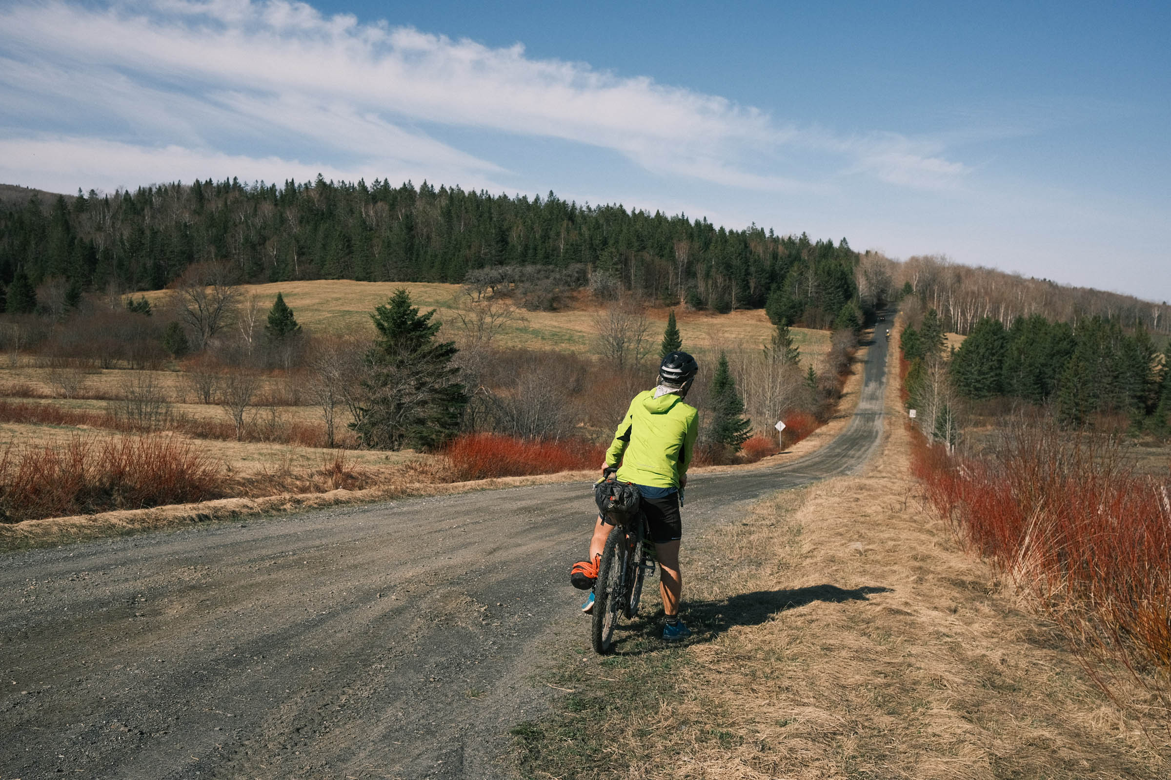
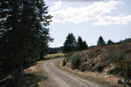
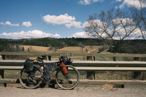
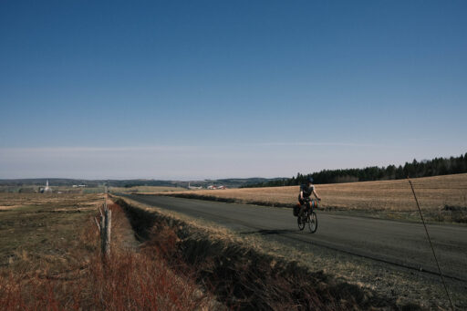
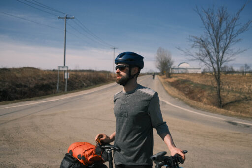
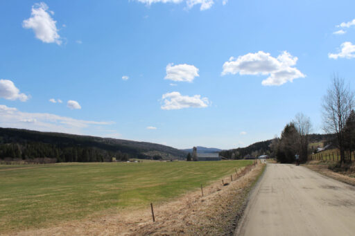
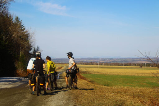
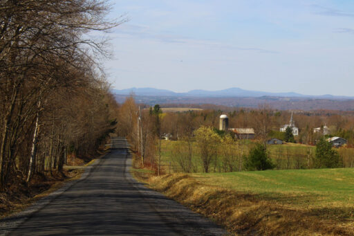
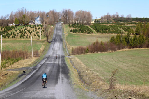
As its title implies, the Hereford Express is a direct way to leave the populated area of Sherbrooke to join the quiet and woody hills of Mount Hereford, near the New Hampshire border. Famous locally for its backcountry skiing slopes and amazing mountain biking trails, the sector is also a gem for bikepacking. It is wild enough to host moose, black bear, coyotes and also contains an impressive network of forest trails and beautiful gravel roads. We wanted the perfect path to get in and get out of Hereford on our bikes just by stepping out of our homes in Sherbrooke. We think we found the ideal way to do so.
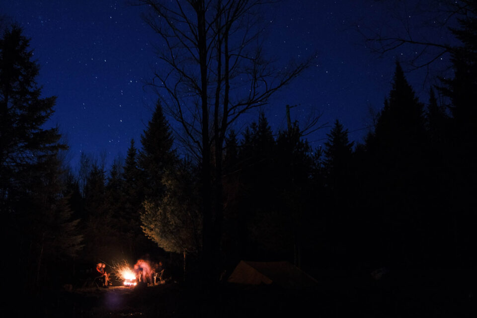
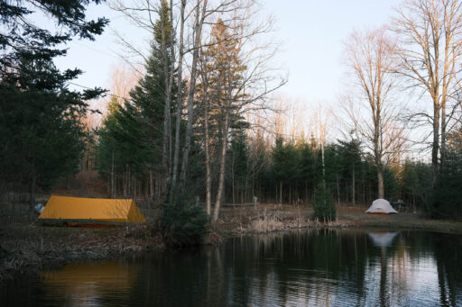
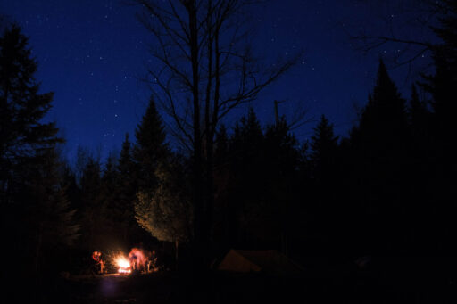
The ride explores the open hills of Waterville, Martinville, and Saint-Edwidge-de-Clifton farm country, some relatively remote areas, and the tough but satisfying trails of Hereford Mountain. Camping Villette is a great overnight stop: it’s a cute family campground with a slight farmer/lumberjack atmosphere! Plus, the owners are amazingly nice.
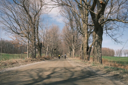
On the way back, you will ride by Coaticook. You can’t miss a beer at Hop Station microbrewery or an ice cream at the best laiterie in Québec, or both! The route then navigates through the picturesque roads of Hatley Township, among maple groves, and then flies on the lovely bike path of the city. Overall, the Hereford Express is a wonderful overnight itinerary and a great way to escape for a weekend.
Route Development
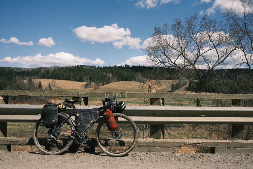
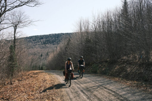
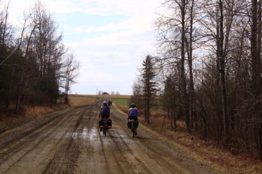
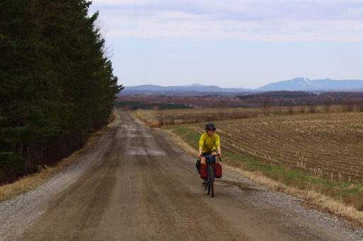
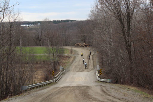
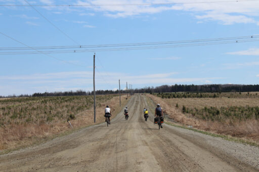
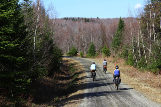
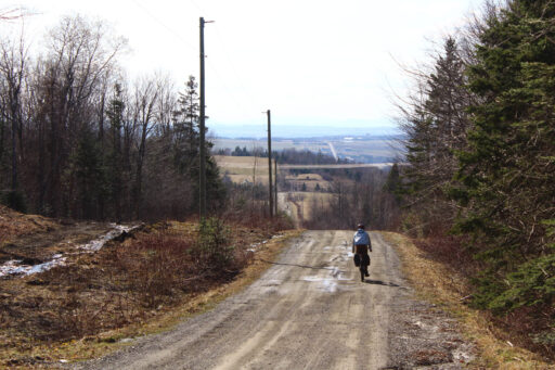
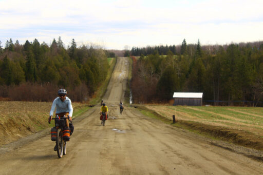
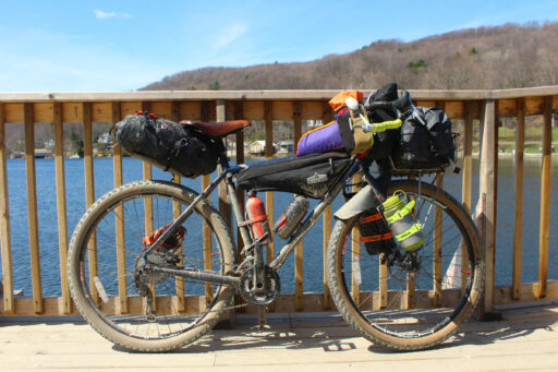
We give this route a 7/10. The difficulty is mostly due to some very steep climbs (among them the Chemin Lépine, a brutal first pitch up the Hereford Mountain). We lost phone signal along the Chemin Eaton-Beloin, which is a bit far from civilization. Aside of these elements, the ride is quite straightforward, there are three good camping options, and the surfaces are mostly very easy to ride on. In the fall of 2024, the route was updated due to a request from landowners and now navigates the whole Hereford Mountain via singletrack: a tough but rewarding change. There is mainly well-maintained gravel roads, some pavement, and a few miles on narrower forest/logging trails. The most slippery and loose sections are on Mount Hereford. We think any rigid mountain bike or drop bar 29er it suitable.
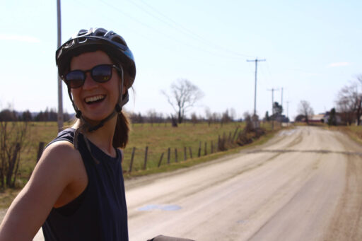
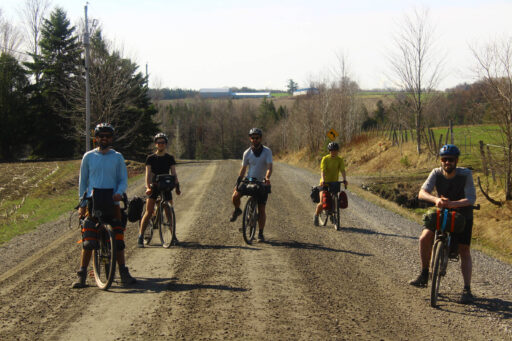
Route Development: In spring 2021, my friends and I were looking for a quick and lovely bikepacking getaway. A beautiful overnighter just before the season really kicked in was the remedy for a very long winter during which we had fewer opportunities to see each other (mainly because of pandemic restrictions). Also, being all-year bike commuters, we are hooked on the idea of starting and finishing a bikepacking trip from our doorstep.
 This route is part of the Local Overnighter Project, which was created to expand our growing list of worldwide bikepacking routes—the first and largest of its kind—and create an independent map and catalog of great bikepacking overnighters, curated by you, from your own backyard. Our goal is to have accessible routes from every town and city in the world. Learn More
Submit Route Alert
As the leading creator and publisher of bikepacking routes, BIKEPACKING.com endeavors to maintain, improve, and advocate for our growing network of bikepacking routes all over the world. As such, our editorial team, route creators, and Route Stewards serve as mediators for route improvements and opportunities for connectivity, conservation, and community growth around these routes. To facilitate these efforts, we rely on our Bikepacking Collective and the greater bikepacking community to call attention to critical issues and opportunities that are discovered while riding these routes. If you have a vital issue or opportunity regarding this route that pertains to one of the subjects below, please let us know:
Highlights
Must Know
Camping
Food/H2O
Trail Notes
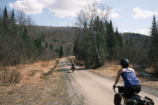
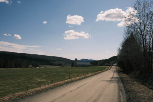
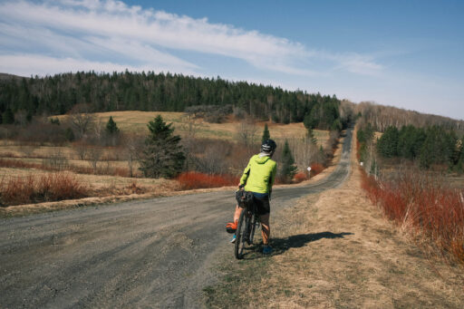
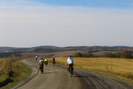
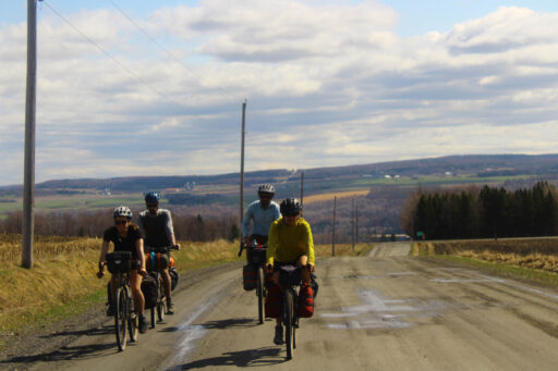
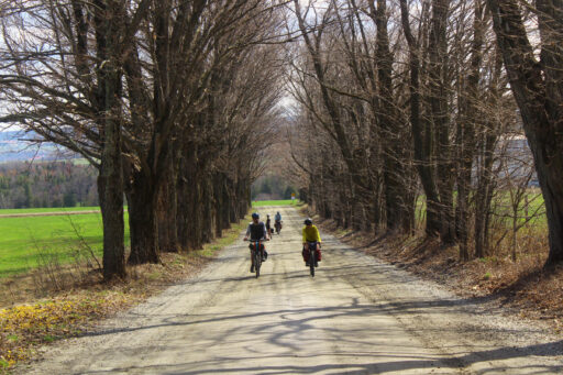
- The beautiful gravel roads of Martinville, Coaticook, and Hatley Townships.
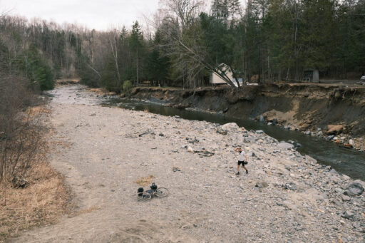
- At Moe’s River, there are natural rock pools in the stream. It was too cold for a dip at that time of year, but when we got back, we certainly enjoyed it!
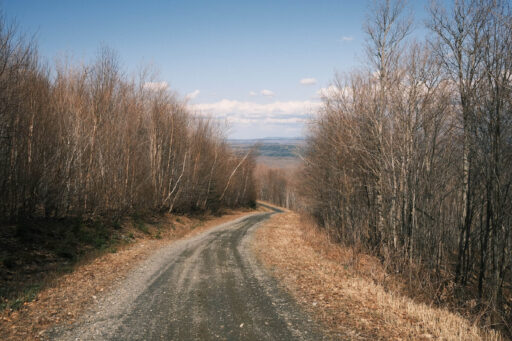
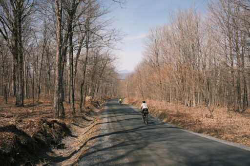
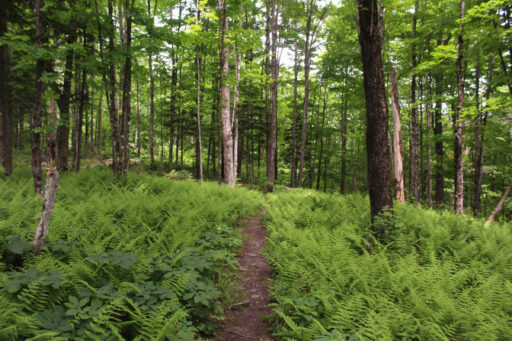
- The Eaton-Beloin road, lost in the middle of a forest.
- The rough but rewarding ascent to the top of Hereford Mountain
- Riding 15 kilometers of Circuits Frontières amazing singletrack
- The Hereford Community Forest, shelter for wildlife and outdoors enthusiasts in the very privatized lands of Québec’s Eastern Townships.
- The beers of Hop Station microbrewery.
- The Laiterie de Coaticook, well-known and delicious local ice cream.
- The quiet and lush parts of Sherbrooke bike paths, ideal links to the backyard of our city.
- The best time of year to ride the Hereford Express is summer between June and September. Moe’s River bathing spot will be nice enough and microbreweries are open more often.
- It’s best to avoid riding Eaton-Beloin Road and Mount Hereford trails in fall, when it’s hunting season.
- We planned this route as a getaway from Sherbrooke, but you can park somewhere in town and ride it from the starting point of your choosing.
- There are black bears and moose between miles 35 and 49. None of us had a bad encounter, but it’s worth being mindful.
- Though it’s Québec (and therefore French is the only official language), the Eastern Townships has a rich English heritage. Basic French is very useful, but most people will understand and speak English.
- The camping spot we chose was at Camping Villette. It’s also welcoming to cyclists who don’t have a reservation!
- The Mont Hereford Experience has camping spots at the bottom of Lépine Road climb. More at hebergementmonthereford.com
- The Camping de la Gorge de Coaticook has a gorgeous location in the regional park of the same name. They are member of the “Bienvenue Cyclistes” establishments, meaning they always have camping spots for cyclotourists without reservation. More at gorgedecoaticook.qc.ca
- There are barely any pit stops between miles 6 and 50. No drinkable water either, since it’s all farm lands. We suggest you bring enough water to get to St-Herménégilde (mile 50).
- The convenience store of St-Herménégilde offers fast food options, notably poutine! Coaticook and North Hatley are the other main options for restaurants or food supply on the second half of the route.
- There is a nice bakery in North Hatley by the lake. The focaccias were a big hit!
October 2024 Update
The Hereford Community Forest has a complex dynamic between forest stewards, a hunting club, landowners, MTB trail builders, and ATV enthusiasts. There has been lately issues raised about access for ATV, motorcycles and bikes in the forest. To be respectful of landowners and the many parties implied, I rerouted the Hereford Express, hoping access will be resumed eventually.
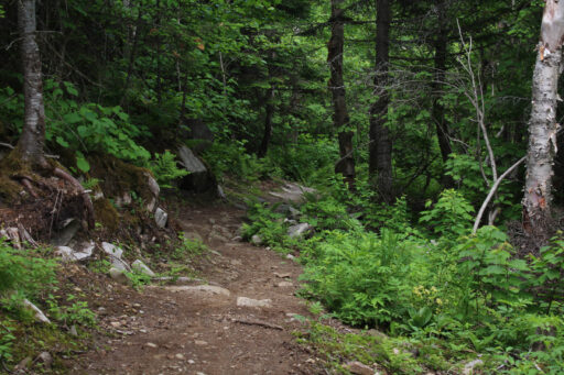
This new version, however, is a harder and more technical one. To avoid prohibited roads and gates, you can cross navigate the whole Hereford Mountain via the MTB singletrack: a tough but rewarding reroute.
In order to fully enjoy the route, I reversed it. It is now counterclockwise. You will first ride by the quaint towns of North Hatley, Hatley, and Coaticook. I strongly suggest to spend the night at Villette Camping, in order to have fresh energy for the grueling next day. If you are a very experienced bikepacker with solid mountain bike skills, Mont Expérience Hereford can be the other camping option—but you’ll pitch your tent after a lot of work.
After the Villette Camping comes the long and difficult ascent of Hereford Mountain. The summit has a great view of the surroundings, it’s quite the reward! Locals use to ride up there on their ATV. The route follows the long descent through MTB trails, first intermediate and challenging on a loaded bike, then easy and flowy, for a total of 15km of singletrack. Ride these trails in this order for the easier descent: Roch Voisine, JDA, Chaînon Manquant, Chemin North County (or Quartz), Bobines and La Grange.
Don’t forget to pay online the use fees at https://circuitsfrontieres.com/en/tickets-passes/
After that, the route is just like before, and just as beautiful.
I rode this route, and it is, by far, my favorite local adventure, despite the challenge of it.
Terms of Use: As with each bikepacking route guide published on BIKEPACKING.com, should you choose to cycle this route, do so at your own risk. Prior to setting out check current local weather, conditions, and land/road closures. While riding, obey all public and private land use restrictions and rules, carry proper safety and navigational equipment, and of course, follow the #leavenotrace guidelines. The information found herein is simply a planning resource to be used as a point of inspiration in conjunction with your own due-diligence. In spite of the fact that this route, associated GPS track (GPX and maps), and all route guidelines were prepared under diligent research by the specified contributor and/or contributors, the accuracy of such and judgement of the author is not guaranteed. BIKEPACKING.com LLC, its partners, associates, and contributors are in no way liable for personal injury, damage to personal property, or any other such situation that might happen to individual riders cycling or following this route.
Please keep the conversation civil, constructive, and inclusive, or your comment will be removed.


