Nelson is an area with a rich Indigenous and settler history. Since time immemorial, the Sinixt, Ktunaxa, and Sylix peoples have navigated the area by foot and boat, inhabiting village sites near the rivers and sustaining themselves on salmon, game, and foraged foods. Evidence of this habitation still exists today, with pictographs dotting the shores of Kootenay Lake and with pithouse pits along the banks of the Columbia River. In the late 1800s, settlers found their way to the area, pursuing mineral deposits such as copper and silver. Nelson was incorporated in 1897 after the extractive potential of the area was fully realized, and industry was well established. Much has been done to preserve the settler history of the area, including the Heritage designation of many buildings in Nelson, lending Nelson a historical air. However, much has also been done to erase the Indigenous history of the area to smooth the path of industry and the claiming of land by settler governments. Read on for an overview of some key points in Nelson’s recent history, and consider dropping by the Nelson Museum, Archives & Gallery for a more comprehensive dive into the area’s background.
Indigenous Peoples
The Sinixt, Syilx, and Ktunaxa peoples are the stewards of the land in Nelson. Each Nation has distinct laws, culture, and territory that support their communities’ way of being. Before colonization, these Nations interacted through trading and other means. However, post colonization, many Indigenous populations across British Columbia have lost access to their land, resulting in disconnection from these identities. Nations are in a period of resurgence as they assert their title and rights. We encourage you to read more about each Nation before your visit.
Check out the map below for the most up-to-date, publicly accessible information regarding Sinixt, Syilx, and Ktunaxa territories. Please note: the drawing of lines on maps has become increasingly contentious as Nations assert their title and rights over unceded lands. For example, the Sinixt, once declared extinct, were affirmed in 2021 by the Supreme Court of Canada that they hold rights to their traditional territories in Canada. This decision has challenged colonial frameworks that simplify land through rigid borders. Nations have long understood their territories relationally, encompassing ecological connections and cultural practices. With ongoing efforts to reclaim stewardship and governance, map boundaries reveal deep-rooted biases, often failing to reflect the realities of Indigenous relationships with the land. However, it can help conceptualize the land you are recreating on during your bikepacking adventures.
To learn more about Sinixt culture, visit:
To learn more about Syilx culture, visit:
To learn more about Ktunaxa culture, visit:
Columbia River Treaty
One can’t discuss industry in the area without mentioning the Columbia River Treaty, as it physically and culturally altered much of the West Kootenays. Established in 1964 between Canada and the United States, the Columbia River Treaty was a turning point in international cooperation. Four hydroelectric dams were established following the treaty, with one in the US and three in Canada. The dams provide downstream power benefits, shared equally between Canada and the US. The four dams and their associated reservoirs flooded roughly 110,000 hectares of land within Canada, displacing more than 2,000 residents, including many Indigenous communities, severely impacting agriculture, tourism, and other pre-existing ventures.
Indigenous and non-Indigenous community members received little consultation or mitigation efforts during the damming. Many residents lost their homes and livelihoods. Flooding impacted numerous Indigenous cultural and archaeological sites, fish and wildlife habitats, and productive agricultural and forestry opportunities. Since the early 1990s, the BC government has taken steps to support those most affected, including launching the Columbia Basin Trust (CBT), an organization created by a one-time donation to all residents in 1995. The CBT funds a wide variety of grants and programs in the area and is a clear silver lining to the devastation the flooding caused for many communities.
Re-negotiations for the treaty are currently underway between the US, Canada, and Indigenous governments. Through the three separate interim agreements, the Ktunaxa Nation, Secwépemc Nation, and Syilx Okanagan Nation will each receive five percent of the revenue generated by selling Canada’s share of downstream power benefits under the treaty. The interim agreements will share this revenue over four years. Unfortunately, no formal revenue-sharing agreements have been put in place with Sinixt. Learn more here.
Mining
The townsite of Nelson was originally established because of mineral deposits found on Toad Mountain, just east of the city. These deposits of copper and silver ore were carted from Toad Mountain to a smelter in Nelson via a seven-kilometer aerial tramway. Remnants of this tramway can still be seen in the forests above the Nelson community of Rosemont, specifically along the excellent multi-use trail Fairly High. This mining rush in the area led to two rail lines passing through the town. Some of these rail lines have since been abandoned and reborn as rail trails, avenues of non-motorized recreation pathways that connect many communities in the area.
Forests
For vacationing cyclists, forest fires feel like a danger and inconvenience. However, the Kootenay’s unusual fire history has given the region a unique forest ecology. In other parts of British Columbia, you will likely find four, maybe five, tree species that predominantly make up a forest. This can mostly be explained by the patterns of natural disturbance in that forest. Around Nelson, however, you’ll be delighted to find a dozen or more tree species coexisting in a patch of forest. The more you learn about each type of tree, the more it is amusing to find wet-loving species like western redcedar and western hemlock growing right beside hot/dry-loving trees such as ponderosa pine.
Scientists refer to the natural disturbance pattern as a “disturbance regime.” An area with a high-severity fire regime is one where there is a pattern of infrequent, severe, hot fires that burn the forest, killing all the trees. In these areas, trees like lodgepole pine, which release huge numbers of seeds into the soil when heated by a fire, tend to dominate. This pattern is one of destruction and reincarnation.
Conversely, low-severity fire regimes are ones where more frequent cooler fires burn through the understory without killing most trees. In such a regime, fire-resistant trees such as ponderosa pine, douglas-fir, and western larch, which grow thick, protective bark and drop their lowest branches, dominate in open savanna-like forests.
The forests around Nelson are characterized by what ecologists call a mixed-severity fire regime. The particular climate and geography of the region have led to a patchwork of complex disturbance patterns, so there’s a little bit of everything all over the place. Forests on hot, sun-exposed slopes at the bottom of a valley may exist in a small area with a pattern of frequent, low-severity fires. Cooler sub-alpine forests, which tend to get frequent summer rain, can go decades without fire and are susceptible to severe fires when lightning finally finds dry vegetation.
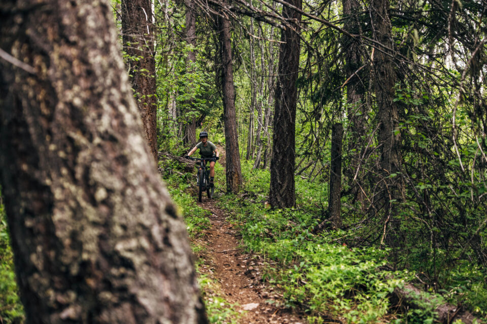
The mountainous terrain, right amount of rain, and powerful effect of the sun in the region mean the micro-environment has an outsized role in explaining the Kootenay’s forest ecology. The scale of forest diversity here can be appreciated at the resolution of the human senses. Pedaling past small streams, sun-baked ridges, and constant overlapping gradients of every variable, you will see forests that defy expectations with their incredible diversity of plants.
Conservation
Nelson has an ongoing relationship with conservation, partially due to its continuing history of resource extraction. Movements and organizations with the goal of stopping logging in the area emerged in the 1980s and continue to this day. While logging has slowed, the harvesting of old-growth forests is still a contentious topic.
Similarly, the damming of many of the rivers, as well as the constant push of development deeper into the hills, has disrupted many plant and animal species. Passionate people have worked and continue to work to ensure that the Kootenays is not only a sustainable place for humans to live but also a place where native plant and animal species thrive far for generations. Read on for a few of these initiatives and organizations:
- Bringing the Salmon Home: The Columbia River Salmon Reintroduction Initiative is an Indigenous-led collaboration of the Syilx Okanagan Nation, Ktunaxa Nation, Secwépemc Nation, Canada, and British Columbia. Salmon have been blocked from returning to the Canadian portion of the upper Columbia River for more than 80 years. The long-term vision is to return salmon stocks for Indigenous food, social, and ceremonial needs and to benefit the region’s residents and ecosystems as a whole.
- Kootenay Conservation Program is a multi-organizational program dedicated to land conservation in the Kootenays. Through education, stewardship, and private land conservation, the program aims to reduce environmental degradation in the area.
- Central Kootenay Invasive Species Society is an organization dedicated to limiting the spread of invasive species in the Kootenays. As a cyclist, you will likely encounter their information boards at trailheads around the area. Make sure to clean your bike and your tires as you travel between areas in BC to limit the spread of weeds.
- Friends of Kootenay Lake Stewardship Society is an organization dedicated to the stewardship of Kootenay Lake. If visiting in the summer, visitors will likely find themselves enjoying the lake’s many recreational opportunities. Help ensure that the lake remains a cultural, spiritual, and recreational mainstay of the Nelson area.
Doukhobors
The Doukhobors began settling in the West Kootenays in 1908. Roughly 5,000 Doukhobors, a sect of Russian pacifist dissenters, came at this time and purchased land for farming and partaking in forestry. Between 1953 and 1959, the province of BC forcibly removed Doukhobor children from their families and placed them into residential schools aimed at assimilation because their parents opposed government rules and did not send them to public schools. For many years, the community has asked for an apology from the provincial government for the trauma and stigma they’ve experienced as a result of attempted assimilation. In 2024, the provincial government offered an apology and a $10,000,000 compensation package, with specifics on how the money was to be allocated. This offer faced a great deal of backlash as it, once again, placed control in the hands of the province. Only a small portion of the funds have been allocated directly to residential school survivors. The community continues to ask for adequate compensation after facing such horrific acts of assimilation.
Resources
Before visiting Nelson, we recommend reading/listening to the below information to learn more about the history, culture, and landscape.
BOOKS TO READ
- A River Captured: The Columbia River Treaty and Catastrophic Change by Eileen Delehanty Pearkes
- The Geography of Memory by Eileen Delehanty Pearkes
- White Grizzly Bear’s Legacy: Learning to Be Indian by Lawney L. Reyes
- Our Backs Warmed By The Sun: Memories of a Doukhobor Life by Vera Maloff
- West Coast Smoke by Drew Edwards
PODCASTS TO LISTEN TO


